


Squaw Valley: 36 inches
Crystal Mountain: 24 inches
Snowbird: 18 inches

Kirkwood: 37 inches
Squaw Valley: 36 inches
Crystal Mountain: 24 inches
Snowbird: 18 inches
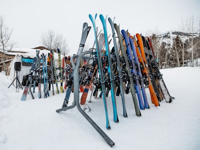
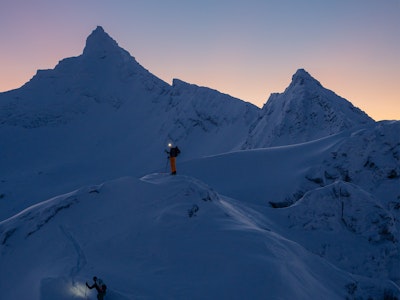
Those were all 24-hour snowfall totals from western ski resorts in the western United States, announced on Tuesday, 12/22. That trend will continue during Christmas week. Get after it, folks.
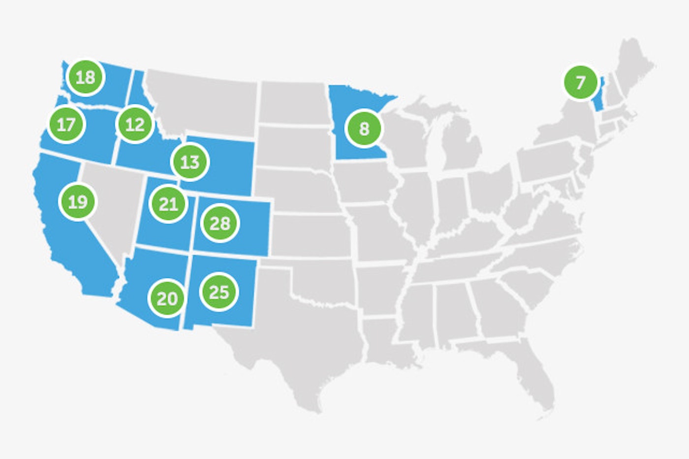
Colorado, New Mexico and Utah
The Centennial State (Colorado) is pretty much guaranteed a white Christmas at this point, as winter weather will be prevalent across the state this week. Most ski areas will wake up to 3 to 6 inches of new snow on Wednesday, with another 3 to 6 expected to fall throughout the day. While 6 to 9 inches are expected by end of day Wednesday for most regions, Wolf Creek is looking at more like 12 to 20 inches. The snow will begin again on Christmas Eve and continue through Friday with another 6 to 9 expected.
Utah has been on a roll, too. As of Tuesday night, the 48-hour snow total for Snowbird was at 29 inches. More snow is on the way. It’ll be stormy from Tuesday night through Friday, with forecasted snow totals for Alta and Snowbird in the 16 to 33-inch range.
Down south in New Mexico, skiers are looking at a few inches of new snow through Friday. The big kicker will come on Saturday, with Ski Apache expecting 18 to 30 inches through Sunday night.
California
California can’t stop, won’t stop. Skiers woke up to snow reports in the mid-30-inch range from Kirkwood, Heavenly, Squaw Alpine, etc. They can expect even more face shots during Christmas week; moisture will ramp up again on Thursday, and by Friday morning, Squaw Valley Alpine Meadows, Sierra-at-Tahoe and Kirkwood expect 11 to 17 inches of new snow. Mammoth Mountain should see something in the 5 to 11 inch range.
Oregon and Washington
Let the good times roll in Oregon. From Tuesday night through Thursday evening, Mt. Bachelor is projected to receive 19 to 34 inches of freshies, with Mount Hood Meadows falling in the 10 to 22-inch range.
Washington is also in for some Christmas week pow turns. Beginning Tuesday night and lasting through Thursday night, Crystal Mountain, Stevens Pass and Alpental are in store for 16 to 20 inches on the half-glass-full end of the spectrum.
British Columbia and Alberta
Things will be fairly quiet in British Columbia (4 to 8 inches expected for Whistler Blackcomb on Wednesday) with snow set to increase on Saturday night, mostly for the coastal regions. Whistler Blackcomb is projected to receive 6 to 14 inches through Monday morning.
In Alberta, there will be several chances for dustings this week, with nothing significant expected to accumulate.
New England
Vermont, Maine and New Hampshire are all still looking to get out of their warm weather ruts. They’ll get a bit of help, but not much, toward the end of the week. Vermont is forecasted to receive 4 to 8 inches from Saturday through Sunday night at Jay Peak, Stowe and Smugglers’ Notch.
Waterville Valley and Wildcat are expecting 4 to 8 inches from Saturday to Sunday while farther north, Saddleback, Sunday River and Sugarloaf can expect 3 to 5 inches on Sunday.
May the snow be with you.

![[GIVEAWAY] Win a Head-to-Toe Ski Setup from IFSA](https://www.datocms-assets.com/163516/1765920344-ifsa.jpg?w=200&h=200&fit=crop)

![[GIVEAWAY] Win a Legendary Ski Trip with Icelantic's Road to the Rocks](https://www.datocms-assets.com/163516/1765233064-r2r26_freeskier_leaderboard1.jpg?auto=format&w=400&h=300&fit=crop&crop=faces,entropy)


![[GIVEAWAY] Win a Head-to-Toe Ski Setup from IFSA](https://www.datocms-assets.com/163516/1765920344-ifsa.jpg?auto=format&w=400&h=300&fit=crop&crop=faces,entropy)