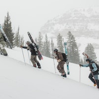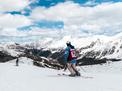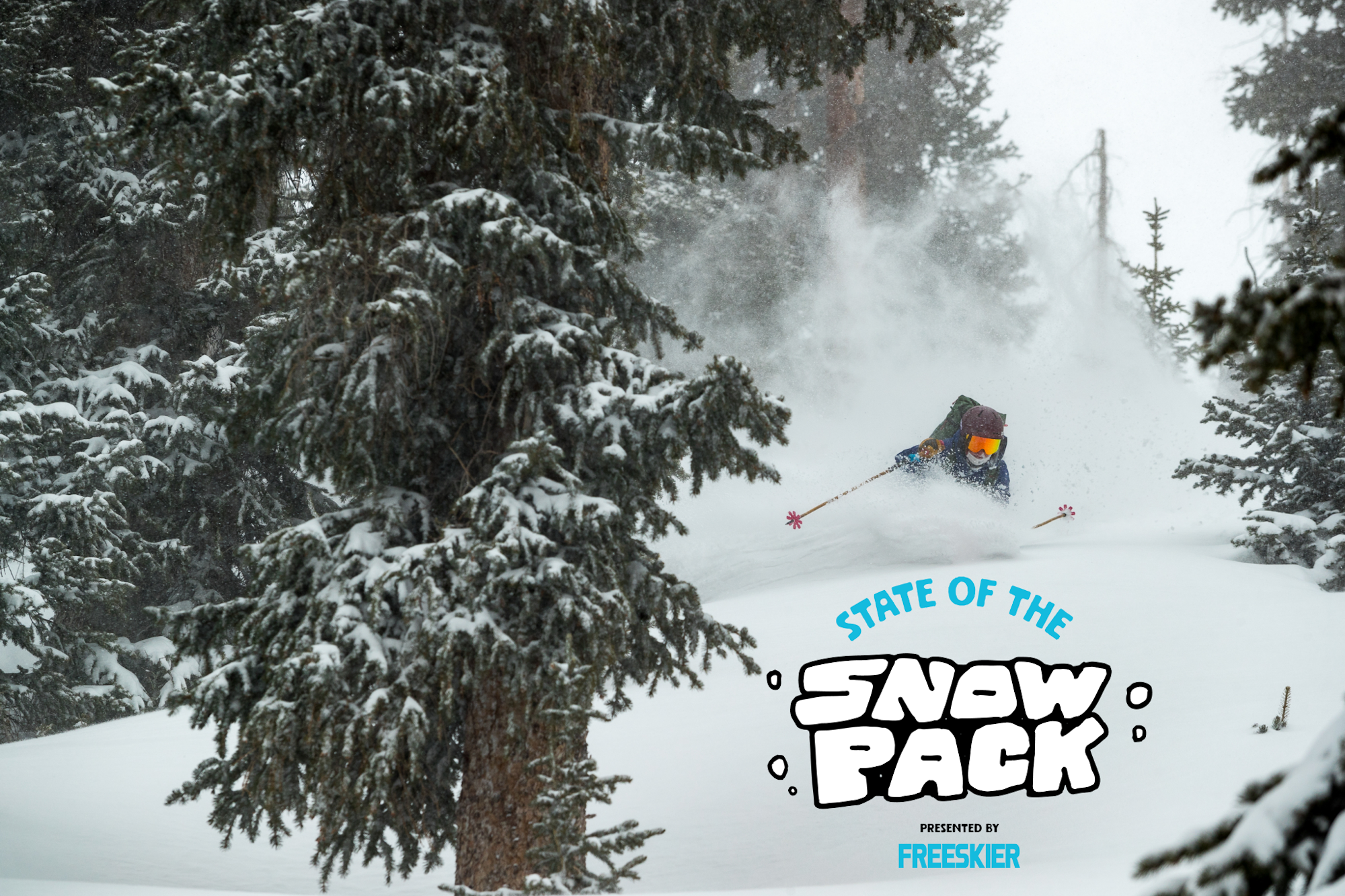
As we embark on a new year, we at FREESKIER are dedicated to providing our readers with the best knowledge and tools to make safe ski decisions in the backcountry, day after day, year after year. Extended high pressure for much of December did a number on the snowpack, and not in a good way. While 2024 wrapped up with multiple storms and deep snow totals across the Mountain West, it has all landed on weak layers that will continue to pose a problem in 2025. As another cycle of storms roll through, it is key to know where not to go. The coast is faring far better than our more intercontinental snowpacks in Idaho, Utah, Wyoming and Colorado. Utah, especially, where the likelihood of triggering a slide in avalanche terrain is alarmingly high.
In the last week, the Utah Avalanche Center has reported two avalanche deaths. On Saturday, a 38-year-old man was traveling alone with his dog in the Porter Fork area of Mill Creek Canyon when he was caught, carried and buried. And on New Years Eve, another solo traveler, a 54-year-old man, was caught, carried and buried in the Silver Fork area of Big Cottonwood Canyon—rescuers found him buried 20 feet beneath the debris pile. Our condolences go out to the friends and families of these individuals. Let these unfortunate accidents serve as a reminder of how sensitive and dangerous the snowpack is in northern Utah this season.
To quote the Utah Avalanche Center, “Travel cautiously—we have a long season ahead.”
Below you will find a brief assessment of the current snowpacks across the Mountain West, according to each region’s avalanche center. From Washington and Oregon to California, Idaho, Montana, Wyoming, Utah and Colorado, we are here to help disseminate the information provided by real professionals. Moral of the story right now: The coast is relatively clear compared to the intercontinental states, choose your terrain wisely and don’t let the powder panic get the best of you.
Note: This is not an exhaustive list, so please be sure to monitor your local forecasting center for the most accurate reports and check back here at the end of the month for another avy assessment across the western United States.
California
Sierra Avalanche Center
California is the place to be right now for safe backcountry travel. A green banner across the board means that its unlikely to trigger a slide at any aspect and any elevation. While an unstable wind slab may lurk on an isolated terrain feature here and there, most people will see no signs of unstable snow. But remember, unlikely does not mean impossible, keep your head on a swivel and senses in the snow.
Colorado
Colorado Avalanche Center
It’s a completely different story in Colorado with an avalanche warning out for the Gore, Tenmile, and Front Ranges of the state as another round of heavy snowfall and high winds land on top of an already sketchy snowpack. Another avalanche warning is out for the Park Range of Colorado, which encompasses Steamboat Springs, and the rest of the state is rated as considerable. Resort skiing is definitely the call for Colorado right now.
Idaho
Sawtooth Avalanche Center
All of the Sawtooth Avalanche forecasting zones are rated as considerable today (Thursday, January 2). While avalanches are less likely in sheltered areas, it is very likely to trigger a slide deep enough to bury you in any drift areas where wind has loaded the slopes and stiffened the snowpack. The biggest avalanche problem in Idaho is a persistent weak layer. Choose your terrain cautiously, as these slides can be triggered remotely and from below.
Montana
Gallatin National Forest Avalanche Center
The Gallatin National Forest Avalanche Center is excited to share there is cold-smoke powder skiing to be had across the forecast range but urges skiers and riders to stick to slopes less than 30 degrees while this storm continues to rage into next week. There is a widespread layer of weak faceted snow, which is now buried up to three feet deep (more in wind loaded areas) that formed on the snow surface just after Thanksgiving into the first week of December. This will pose a risk as more snow falls. Be patient, and let the steep slopes settle.
Oregon
Central Oregon Avalanche Center
The Central Cascades are rated as moderate at all elevations and aspects today, which means slides are less likely but still not impossible. As temperatures warm up, lower elevation slopes run the risk of wet slides and steep slopes with deep wind drifts are to be avoided. The biggest avalanche problem in Central Oregon right now are wind slabs.
Utah
Utah Avalanche Center
Northern Utah is a big red banner this Thursday due to high winds and significant, wet snowfall. Moral of the story: stay out of avalanche terrain entirely during this storm cycle. Today it’ll be possible to trigger both new snow avalanches and avalanches that break two to four feet deep, particularly on west to north to southeast facing slopes. Utah’s biggest avalanche problem is a persistent weak layer, which is now buried about two feet under the surface.
Washington
Northwest Avalanche Center
Washington is faring similarly to California at the moment, with relatively low avalanche danger in the Eastern Slopes and moderate on the western side of the forecasting zone. Areas of wind drifted snow are going to be the biggest concern but as this storm carries on throughout the day, higher elevations are expected to rise to considerable danger by tomorrow. The biggest avalanche problem in Washington are wind slabs.
Wyoming
Bridger-Teton Avalanche Center
Very dangerous avalanche conditions exist across Wyoming as rapid loading of new snow stress weak layers near the base of the snowpack and create new wind slabs. Much like Northern Utah, Wyoming is not the place to venture into steep, exposed terrain at the moment, especially at higher elevations. The biggest avalanche problems in the state are wind slabs followed by a persistent weak layer. If you’re heading out for a tour, choose your travel terrain wisely, as it’ll be difficult to avoid slopes steeper than 30 degrees.

![[Q&A] 17-Year-Old Hannah Epsteyn Makes NST Ski History](https://www.datocms-assets.com/163516/1777934668-fs_hannahq-a.webp?w=200&h=200&fit=crop)
