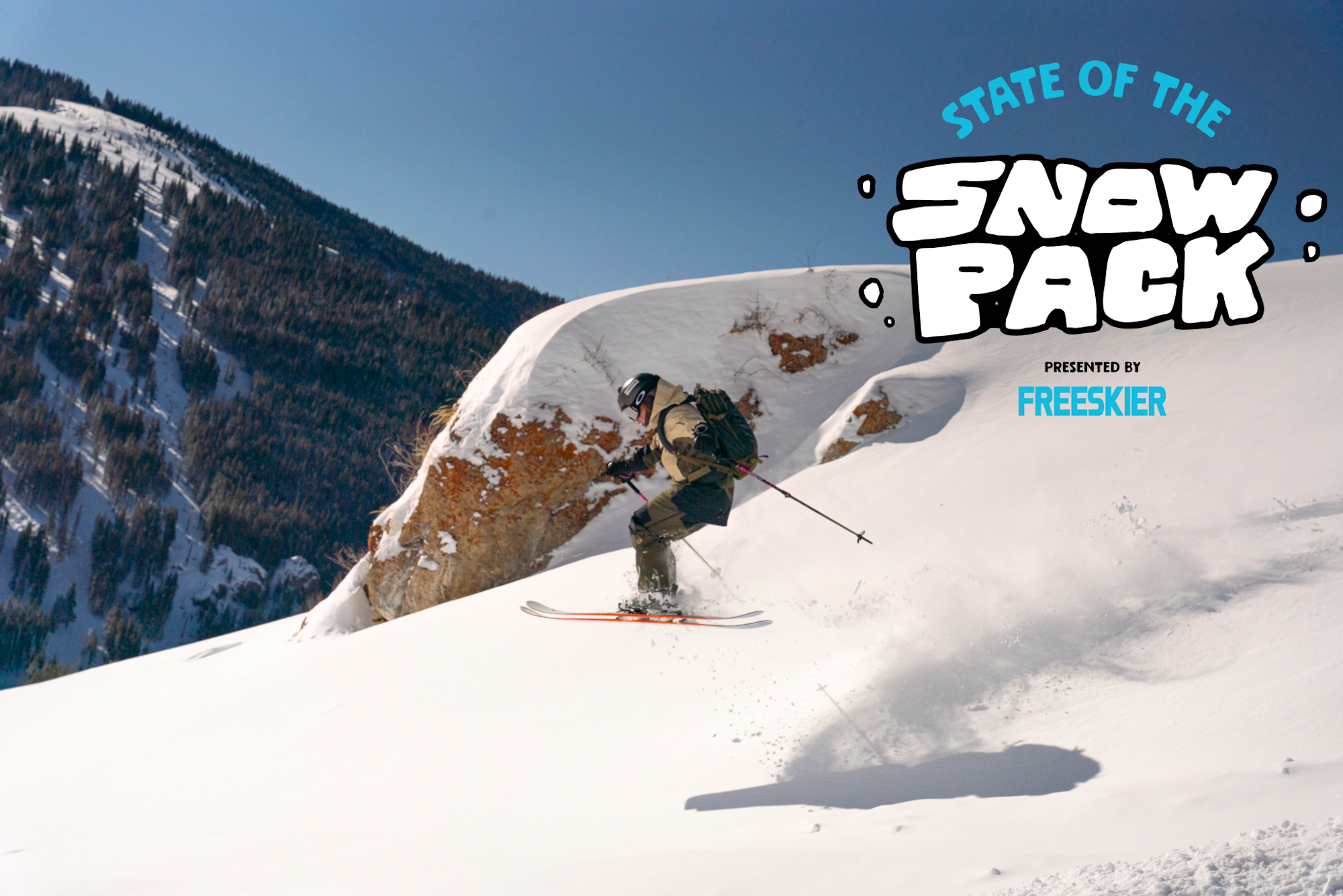
Featured Image: Gabe Rovick
The 2024-25 ski season started off with an impressive bang across much of the Pacific Northwest and the Western Rockies. Mountains in Alaska, British Columbia, Washington and Oregon have all seen upwards of 100 inches of snow already, which made for incredible early season turns at the resorts as well as in the backcountry, and did a wonder for ski areas in terms of opening terrain. Since then, however, the faucet has effectively turned off, the sun has reappeared accompanied by unseasonably warm temps. While some of us may not be complaining about the “nice weather,” backcountry forecasters are bracing for what’s to come with the next round of precipitation this coming weekend and stack on top of the weakened snow.
Maybe you’re thinking to yourself, “it’s early season so it’s not that deep, what slides won’t bury me.” While that may be true to some degree, getting caught in an avalanche in a shallow snowpack poses its own set of risks. Namely, trauma from hitting barely covered rocks, downed trees and stumps. An unstable snowpack, no matter how deep, is not something to mess around with and we at FREESKIER want to help our audience have both a fun and safe experience in the backcountry, day after day.
Below you will find a brief assessment of the current snowpacks across the Mountain West, according to each region’s avalanche center. From Washington and Oregon to California, Idaho, Montana, Wyoming, Utah and Colorado, we are here to help disseminate the information provided by real professionals. Moral of the story right now: Our snowpacks are relatively stable, for now, but shallow and will become increasingly unstable due to this extended period of high pressure followed by an incoming storm. Practice caution during and after this next round of storms and choose your terrain wisely.
Note: This is not an exhaustive list, so please be sure to monitor your local forecasting center for the most accurate reports and check back here at the end of the month for another avy assessment across the western United States.
California
Sierra Avalanche Center
While triggering an avalanche in the Sierra range is unlikely before this next storm, a shallow snowpack poses its own risk for hitting barely buried hazards like rocks, trees and creeks. Snowpack conditions vary across the forecasted range in terms of snow surface feel, depth and structure. A dormant weak layer is lingering near the ground in the shallower snowpack areas above 8,500 feet in the eastern and southern portions of the forecast area, which will cause trouble as more snow piles on with incoming storms.
Colorado
Colorado Avalanche Center
The majority of the state is rated as moderate avalanche danger, with a persistent slab being the main cause for concern. The Central Mountain Range in the Gunnison National Forest is rated as considerable, which calls for modest terrain choices due to the likelihood of triggering a slide. Don’t let the moderate rating elsewhere fool you, many avalanche incidents involving skiers happen on moderately-rated terrain. A skier triggered and was caught, carried and injured on Berthoud Pass on December 3, which is currently rated at moderate.
Idaho
Sawtooth Avalanche Center
There is currently no rating in the Sawtooth forecast range due to lack of snow but avalanche activity was reported in the last storm cycle so it shouldn’t be completely ruled out. On November 26, forecaster Ethan found a heavy slab stacked on top of weak, sugary snow on NW-N-NE aspects at mid- and upper elevations near Smiley Creek. Sticking to sunnier and lower elevation aspects will help avoid triggering this spooky layer.
Montana
Gallatin National Forest Avalanche Center
Montana is in the green (low avalanche danger) across the board with mild temperatures, sun and relatively mild wind until low pressure descends on the state on Sunday. Ski patrol at Big Sky Ski Resort were able to trigger some action last week but this extended period of high pressure has stabilized things. The downside to this is the weakening snow surface on top, which will become a concern once new snow starts to stack on top. Once this storm rolls in, avalanche ratings will likely change and it’s important to keep an eye on the forecast, day after day.
Oregon
Central Oregon Avalanche Center
Oregon is looking great for so early in the season. A low avalanche danger across the board means it is unlikely to trigger a slide, but remember to never completely leave it off the table. Forecasters are finding a five-to-six-foot deep snowpack and for right now, the weakest snow is on the surface. While not an issue now, it’s important to keep tabs on this layer as new snow stacks on top.
Utah
Utah Avalanche Center
Salt Lake, the Uintas and everything north of there is rated as low avalanche danger but that danger increases to moderate in Provo, Skyline and Moab. Dense snow, strong winds and sugary, faceted snow near the ground has made the snowpack a bit trickier in the southern forecast zones and it’s still possible to trigger one-to-three-foot deep slabs that can easily catch, carry and injure a person. The snowpack is still shallow, which means trauma is still of great concern should a person get carried.
Washington
Northwest Avalanche Center
Every zone in the Northwest Avalanche forecast range is rated as low, except for the West Slopes North region, which includes the Baker backcountry, is rated as moderate at all aspects and elevations. Multiple glide avalanches have been reported in the zone due to unseasonably warm temperatures, which calls for cautious terrain choices and to avoid any visible cracking in the snowpack where rocks and grassy slopes can act as a thermic slip and slide for the snow. Avalanches aren’t completely out of the question in the other zones, but the likelihood is lower.
Wyoming
Bridger-Teton Avalanche Center
Much like Idaho, Wyoming is facing a slow return of winter after those initial November storms, which means every forecast zone Bridger-Teton tenure is without a forecast rating—for the time being. Forecasters urge not ruling out slides completely, wind-deposited slabs are still possible in exposed, high-elevation areas and wet slides can’t be ruled out in sun-exposed areas thanks to the unseasonably warm temperatures this week. As with all thin snowpacks, regardless of state, trauma hazards exists should you get caught and carried. As this next storm rolls in this weekend, the top layer of the snowpack will become concerning as it weakens with each passing high-pressure day.


![[Q&A] 17-Year-Old Hannah Epsteyn Makes NST Ski History](https://www.datocms-assets.com/163516/1777934668-fs_hannahq-a.webp?w=200&h=200&fit=crop)
