

Want to score the best turns of your life this season?
Click here to see FREESKIER’s comprehensive ski resort rankings.
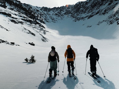
Western North America is enjoying quite the ski season so far. For reference, here are some year-to-date snowfall totals at several western resorts as of Wednesday:
Much of the West will receive a nice refresh this week, with some new accumulations expected for eastern resorts, too.
Please note: All snow total predictions are sourced from OpenSnow.com and reflect the 5 day snow total predictions for this week.
Alberta and British Columbia
The weather in Alberta will be uneventful until Friday evening, when a storm is forecasted to drop 2 to 4 inches on Marmot Basin and Lake Louise.
Skiers in British Columbia will be frothing at the mouth when they see this week’s snow forecast. The projected totals for Whistler Blackcomb, from Wednesday through Saturday morning, are in the 15 to 31-inch range, with the majority of that falling throughout the day on Friday. Further inland at resorts like Revelstoke, the predictions are in the 4 to 10-inch spectrum.
Oregon and Washington
In Oregon, 8 to 14 inches of snowfall is projected for Mount Hood Meadows from Wednesday through Thursday while Mt. Bachelor is looking at 2 to 6 inches.
Washington is in for a solid week of new snow. From Wednesday through Friday, 9 to 21 inches is projected for Stevens Pass, Crystal Mountain and Mt. Baker.
Idaho, Montana and Wyoming
Much of Idaho will enjoy some new snow this week. Skiers at Schweitzer should enjoy soft turns, with 4 to 7 inches expected from Wednesday night through Thursday afternoon and another 3 to 7 inches on Friday night.
It’ll be a fairly mellow week for Montana, with 2 to 4 inches expected Wednesday night through Thursday at Whitefish, Montana Snowbowl and Big Sky.
Grand Targhee and Jackson Hole, in Wyoming, are looking at 5 to 11 inches of new snow from Wednesday night through Thursday night.
Colorado, New Mexico and Utah
After abundant snowfall for Colorado over the weekend, there’s more set to blanket the state this week. One to 3 inches will fall for the majority of the state on Wednesday. Then, on Thursday night through Friday morning, 2 to 6 inches is expected for Arapahoe Basin, Aspen, Breckenridge, Crested Butte, Winter Park, Wolf Creek, etc.
Utah resorts like Alta, Snowbird, Brighton, Powder Mountain, Snowbasin and Solitude will enjoy 2 to 4 inches on Thursday. New Mexico will remain dry.
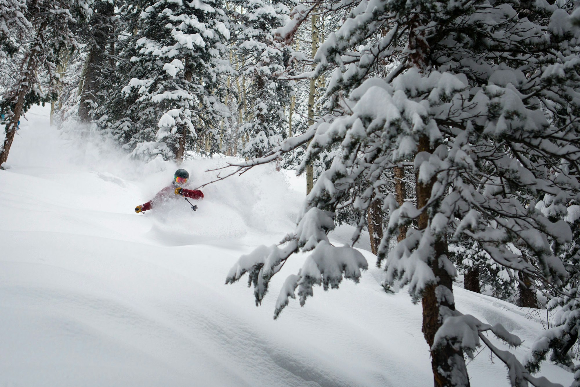
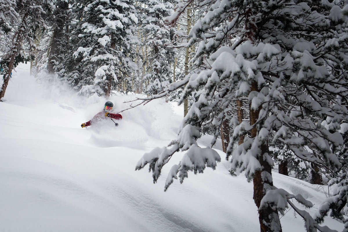
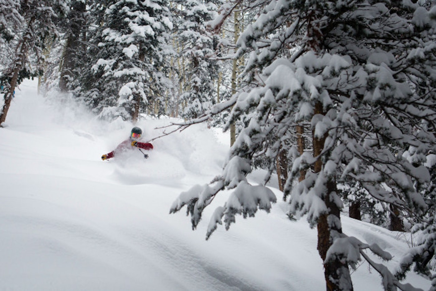
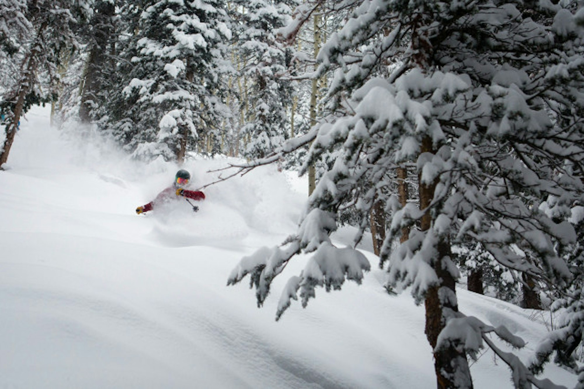
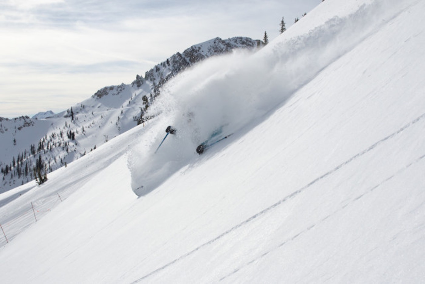
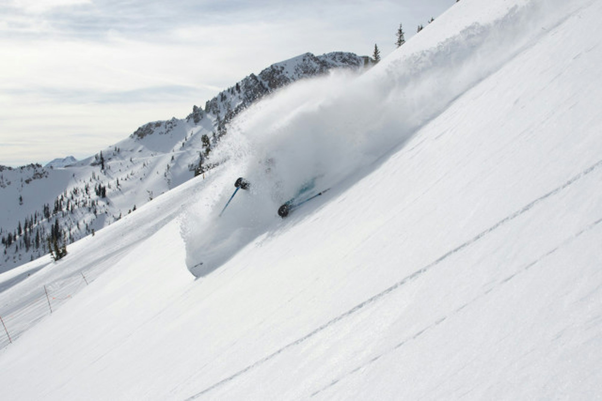
For reference, this is how good it’s been in Utah and across the Rockies lately:
Sidenote for Colorado (and all) backcountry skiers: The most recent heavy snowfall left Colorado with a storm slab issue in the backcountry. Keep it mellow until conditions solidify, people. See the below Instagram for how fun low angle pow can be:
California
A weak storm on Wednesday should produce 1 to 2 inches for Squaw Valley Alpine Meadows, Kirkwood and Sugarbowl. In the Eastern Sierra, Mammoth will remain dry and sunny.
New England
Vermont will remain mostly dry this week. Sugarloaf, in Maine, is looking at 3 to 7 inches of new snow on Wednesday and northern New Hampshire resorts like Wildcat, Attitash and Cranmore are expecting 1 to 3 inches on Hump Day.

![[GIVEAWAY] Win a Head-to-Toe Ski Setup from IFSA](https://www.datocms-assets.com/163516/1765920344-ifsa.jpg?w=200&h=200&fit=crop)

![[GIVEAWAY] Win a Legendary Ski Trip with Icelantic's Road to the Rocks](https://www.datocms-assets.com/163516/1765233064-r2r26_freeskier_leaderboard1.jpg?auto=format&w=400&h=300&fit=crop&crop=faces,entropy)


![[GIVEAWAY] Win a Head-to-Toe Ski Setup from IFSA](https://www.datocms-assets.com/163516/1765920344-ifsa.jpg?auto=format&w=400&h=300&fit=crop&crop=faces,entropy)