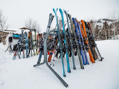

What could a weather bouy in Hawaii possibly have to do with the snow 3,000 miles away in Wyoming, Utah and Colorado? Everything, actually!
Floating in the middle of the North Pacific Ocean, a National Oceanic and Atmospheric Administration (NOAA) weather bouy does nothing but collect important weather data that has been known to translate to the strength of winter storms in the Western United States. The best part? It can accurately predict up to two weeks in advance, giving skiers the opportunity to get their PTO approved without looking suspicious.

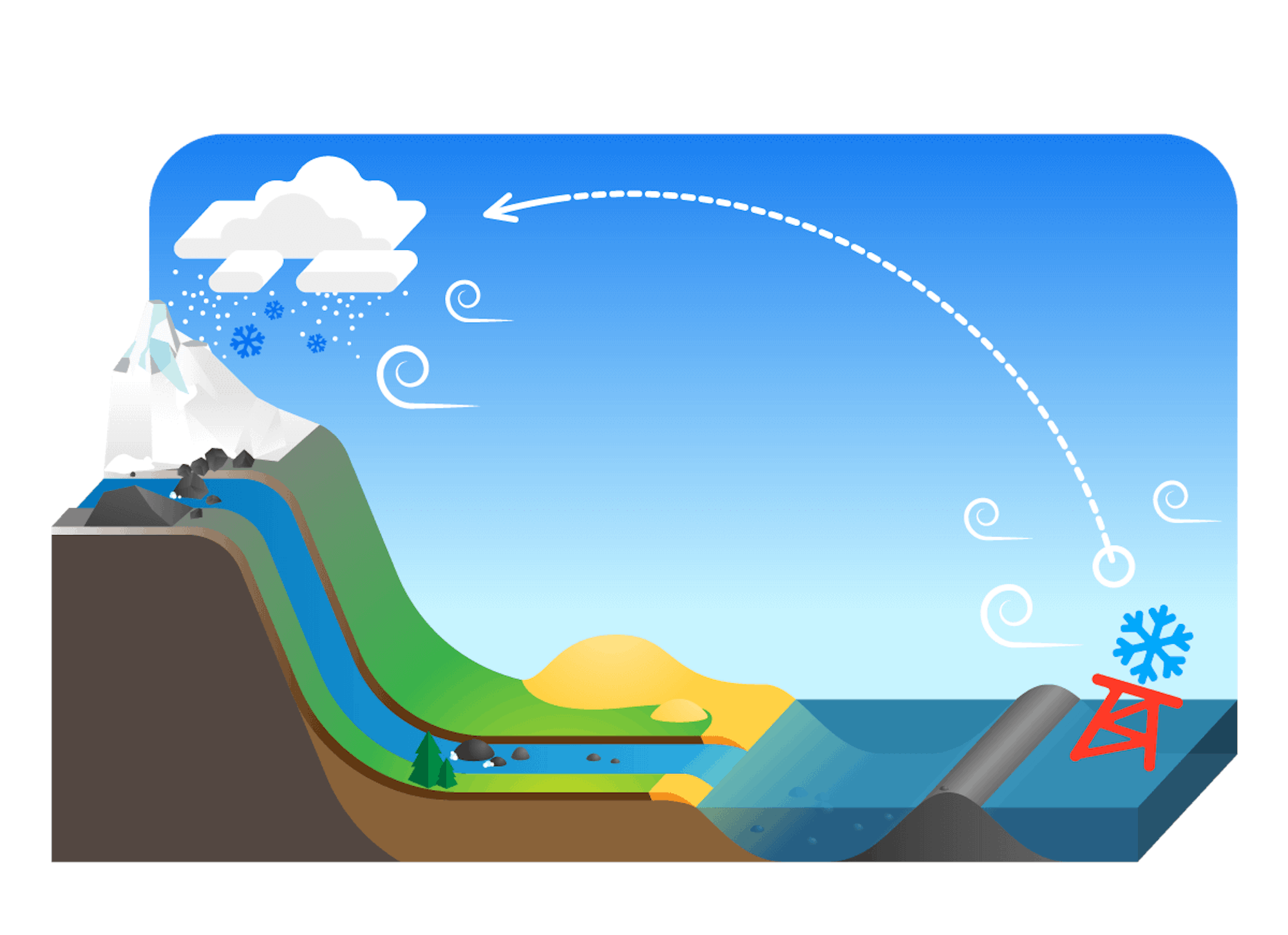
Illustration: Courtesy of Powder Bouy
Tracking weather bouys is not a new concept, surfers have been doing it to track and chase ocean swells since the beginning of weather bouy time but in the ski industry, it hasn’t been a common practice. That is, until now.
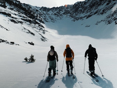
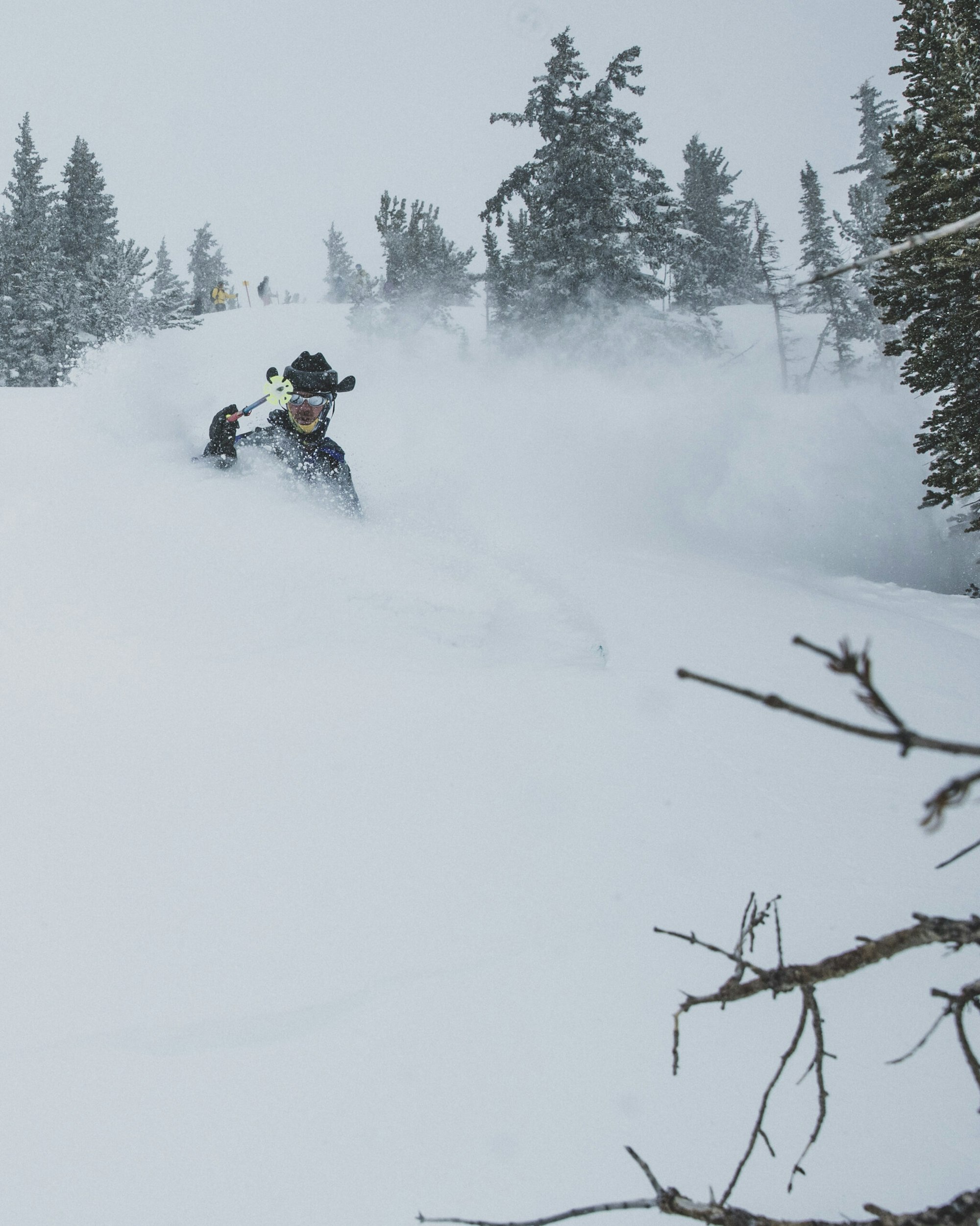
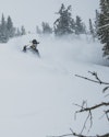
The same Powder Bouy that indicates strong ocean swells ideal for surfing also translates to significant snowfall in the West—effectively connecting soul riders all over the world. Most of our winter storms originate in the Pacific Ocean, with stormy weather and low air pressure moving Southeast along the jet stream. When the Powder Bouy “pops” or rises with the rising swell and wave height, it’s almost always an indicator of an incoming storm. Based on the distance of the bouy and the average speed and direction of the storm, we can expect to see that Powder Bouy prediction make landfall in Wyoming, Utah and Colorado roughly two weeks later.
The Powder Bouy popped in Hawaii on December 15 and again on December 19, which means Christmas Eve to January 1 should be on everyone’s radar in the Mountain West. Keep tabs on the Powder Bouy all season long, and never miss another storm mission.

![[GIVEAWAY] Win a Head-to-Toe Ski Setup from IFSA](https://www.datocms-assets.com/163516/1765920344-ifsa.jpg?w=200&h=200&fit=crop)

![[GIVEAWAY] Win a Legendary Ski Trip with Icelantic's Road to the Rocks](https://www.datocms-assets.com/163516/1765233064-r2r26_freeskier_leaderboard1.jpg?auto=format&w=400&h=300&fit=crop&crop=faces,entropy)


![[GIVEAWAY] Win a Head-to-Toe Ski Setup from IFSA](https://www.datocms-assets.com/163516/1765920344-ifsa.jpg?auto=format&w=400&h=300&fit=crop&crop=faces,entropy)