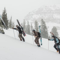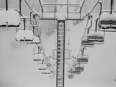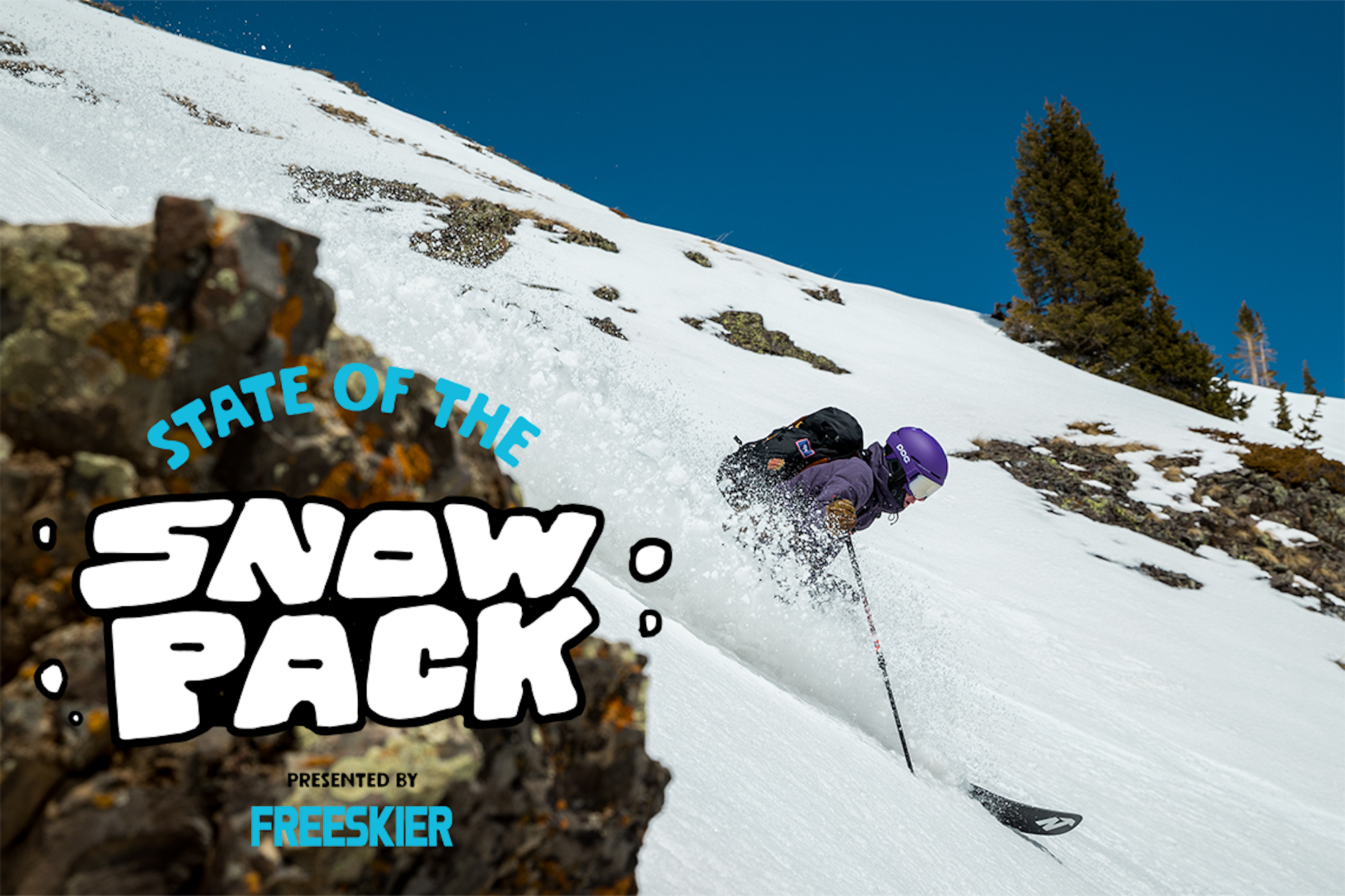


It’s been a minute since our last State of the Snowpack, so allow us to recap. When we left things about a month ago, the majority of the Mountain West was going through a high-pressure dry spell. Temperatures remained cold for much of that, creating massive amounts of surface hoar which is admittedly really fun to ski through—some call it recycled pow—but is also fragile when loaded. The tap has turned back on since then, dropping feet of new snow, accompanied by warmer temperatures and lots of wind.
Below you will find a brief assessment of the current snowpacks across the Mountain West, according to each region’s avalanche center. From Washington and Oregon to California, Idaho, Montana, Wyoming, Utah and Colorado, we are here to help disseminate the information provided by real professionals. Moral of the story right now: January gave us the green light to send just about anything with enough snow to safely ski, but February is having us pump the breaks almost entirely. Choose your terrain wisely, travel cautiously and always be prepared for worst-case scenario.
Note: This is not an exhaustive list, so please be sure to monitor your local forecasting center for the most accurate reports and check back here at the end of the month for another avy assessment across the western United States.
California
Sierra Avalanche Center
The Central Sierra Nevada range has calmed down significantly since receiving six feet of new snow in a span of 36 hours over the Valentine’s Day weekend. As of February 25, the Central Sierras are green across all elevations and aspects. The biggest avalanche problem facing this forecast zone at the moment are wet loose slides from warming temperatures.
Colorado
Colorado Avalanche Center
The I-70 corridor of Colorado is hanging on to its considerable avalanche rating for Tuesday, February 25, above and near treeline. Below treeline, skiers and riders are less likely to trigger an avalanche big enough to bury them but the odds are not completely off the table. A persistent slab on NW-N-NE-E aspects remains possible to trigger, which could end up being a large to very large slide with detrimental consequences. Take the recent avalanche incidents as a warning sign to keep terrain selection mellow.
Idaho
Sawtooth Avalanche Center
While Banner Summit, the Soldier mountains and the Wood River Valley mountains have dropped to a moderate avalanche rating, the danger still remains considerable on upper elevations of Galena Summit as well as the Sawtooth and Western Smoky mountains. Significant new snow coupled with strong winds have formed sensitive wind slabs with real consequence.
Montana
Gallatin National Forest Avalanche Center
While much of Montana’s forecast zones are rated as moderate today, Cooke City is sitting at considerable thanks to a combination of new snow, high winds and a persistent weak layer. Wind drifts are the main cause for concern today but a persistent slab avalanche was triggered by a team member of the GNFAC yesterday on a flat slope—a big red flag left over from January.
Oregon
Central Oregon Avalanche Center
The Central Cascades of Oregon have proven to be a difficult beast over the last week with two avalanche fatalities on February 17. Mid and upper elevations are rated as considerable today, February 25, due to new snow and strong winds, creating large wind slabs that can most certainly carry and burry a person. Lower elevations are rated as low.
Utah
Utah Avalanche Center
Just about everywhere in the state of Utah, aside from the Ogden zone, are rated as considerable today across all aspects and elevations. The number one problem in Utah continues to be a variety pack persistent weak layers, which make for a complex problem to decipher. On top of that, wet loose avalanches are becoming of concern with warming temperatures, which could have the potential of stepping down to these PWLs.
Washington
Northwest Avalanche Center
West Slopes Central and Snoqualmie Pass are both under avalanche warnings today, February 25, while the rest of the state is rated as considerable. You can expect a stormy and windy day in Washington, which means traveling on or under avalanche terrain is not recommended for the time being. The number one problem in Washington right now are storm slabs on all aspects and elevations.
Wyoming
Bridger-Teton Avalanche Center
From the Tetons to the Snake River Range and down into the Salt River and Wyoming Ranges are all rated as considerable in upper elevations. New snow and strong winds have made wind slabs the number on problem in these forecast zones on NW-N-NE-E-SE-S aspects on upper and mid elevations. Avalanche activity has been widespread and will likely continue into today with wet loose slides also becoming of concern as the weather warms up.