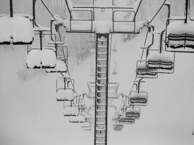


At FREESKIER, we’ll never be the ones to complain about a bluebird ski day, but when the sun sits high in the sky for days or weeks at a time…that’s a different story for the snowpack. While high pressure after a storm can help unstable layers heal, extended sun and cold temperatures are the perfect recipe for developing surface hoar—those beautiful feather-like ice crystals on the surface of the snow. They’re pretty to look at and are actually enjoyable to ski through, but all of that beauty comes crashing down like a house of cards as soon as the next storm layer lands on top of them—an important thing to keep in mind when the next storm does roll in. According to OpenSnow, this next storm moving north to south as it travels across the Western U.S. will only deliver a light dusting to the Rockies.
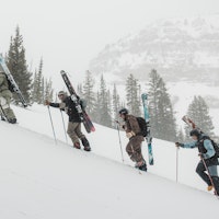
If you’ve had a backcountry line in mind, it’s filled in enough to safely ski, and it hasn’t been plagued by high winds, now might be a good time to see if you can link everything up. Avalanche danger across the West is under control right now with places like California, Washington and Idaho rated as low (or green) across the board on all aspects and elevations. Places like Wyoming, Utah and Colorado are still looking at moderate avalanche conditions in upper elevations but the likelihood of triggering a slide is getting smaller and smaller with each passing day of no new snow.
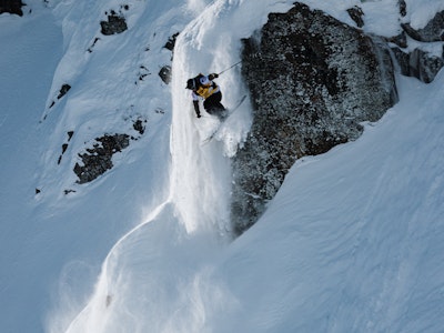
While the avalanche danger feels like it’s giving us the green light to send anything [as of Friday, January 24], it’s important to keep snow depth in mind. Avalanches are easier to trigger at shallow points, especially near rocky features and if they’re wind loaded. Shallow snow also means hazards like rocks, stumps and fallen trees are lurking closer to the surface than we may think for this time of year. As you should everyday in the backcountry, despite the avalanche rating, keep your guard and your tips up.
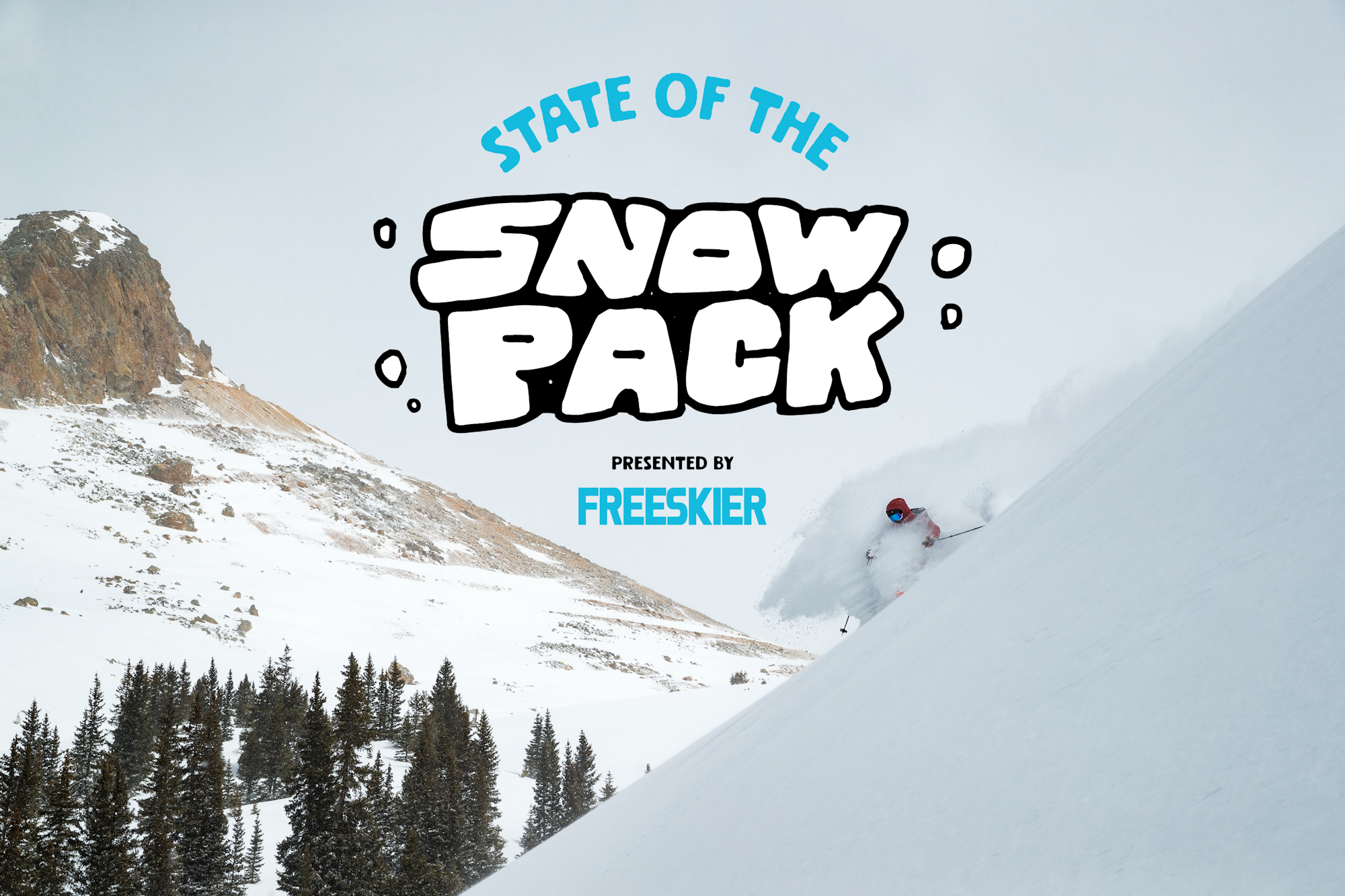
Below you will find a brief assessment of the current snowpacks across the Mountain West, according to each region’s avalanche center. From Washington and Oregon to California, Idaho, Montana, Wyoming, Utah and Colorado, we are here to help disseminate the information provided by real professionals. Moral of the story right now: Our snowpacks are relatively stable, for now, but shallow and will become increasingly unstable due to this extended period of high pressure followed by an incoming storm. Practice caution during and after this next round of storms and choose your terrain wisely.
Note: This is not an exhaustive list, so please be sure to monitor your local forecasting center for the most accurate reports and check back here at the end of the month for another avy assessment across the western United States.
California
Sierra Avalanche Center
Extended sunshine and increasingly warmer temperatures are wreaking havoc on California’s snowpack. The avalanche danger is low on all elevations and aspects but wet slides on sun-exposed slopes are becoming of increased concern. The biggest hazard for the Sierras right now is firm snow, which can take you or your gear for a fast and furious ride. Grab those crampons if you’re headed out for an exploratory mission this week.
Colorado
Colorado Avalanche Center
Colorado is and always will be a fickle beast when it comes to avalanche conditions. Of all the states in the Mountain West, Colorado’s snowpack seems to be the most reactive at all elevations and aspects. Triggering an avalanche on steep, wind-loaded slopes is still likely and can have big consequences.
Idaho
Sawtooth Avalanche Center
Triggering a slide in the Sawtooth range of Idaho would require some pretty bad luck, or terrain choices, at this point in the season. Galena Summit and Eastern Mountains have the highest avalanche danger rating of all of the zones, with moderate danger on steep northerly facing aspects. Rocky, wind-swept slopes with variable snowpack depths are the areas where slides are most likely to occur.
Montana
Gallatin National Forest Avalanche Center
Montana seems to be in its own little system, with high winds and moderate snowfall coming down from Canada—six inches of new snow was recorded at the Ridge of Bridger Bowl Wednesday morning. The entire forecast zone is rated as moderate with wind slabs being the biggest concern. Human-triggered slides are possible on weak layers of faceted snow one to two feet near the bottom of the snowpack but large, persistent slab avalanches are becoming less likely.
Oregon
Central Oregon Avalanche Center
Central Oregon is a green triangle across the board—all elevations and aspects—as of Wednesday, which means triggering an avalanche is unlikely. No new snow recently and cool temperatures have made Oregon’s backcountry fairly uneventful and this trend will continue through the end of the month. Despite some weather activity Friday, snow totals look unimpressive for the next week or so.
Utah
Utah Avalanche Center
The entire forecast zone of Utah is rated as moderate on all mid and upper elevation slopes today due to strong winds drifting loose snow. Particularly on slopes with a shallower snowpack, triggering an avalanche on buried facets is possible on north, west and east-facing aspects on all mid and upper elevations. On Wednesday at 11,000′ winds were from the west-northwest, sustained at 50–60 mph with gusts up to 80 mph, and overnight gusts exceeded 100 mph. Wind drifts are a real concern in Utah right now.
Washington
Northwest Avalanche Center
Slipping and falling are a bigger hazard and concern in Washington right now than avalanches. Icy, firm conditions exist across the state, which makes for a treacherous slide should you lose your footing or trigger a small slab avalanche that knocks you off your feet. Skiers should expect highly variable crust and firm, wind and sun- affected surfaces. Prepare for anything, pack everything, if you’re planning on getting out.
Wyoming
Bridger-Teton Avalanche Center
Wyoming is dealing with wind slabs as the number one avalanche problem and persistent slabs as the secondary issue while arctic temperatures and gale force winds hammer mid and upper elevations on north, east and south-facing aspects. The recently formed wind slabs can be one to two feet thick and are most likely to be found just below ridges and in rocky terrain, including couloirs. The risk of triggering a wind slab is stepping down to the persistent weak layer buried deeper in the snowpack.