
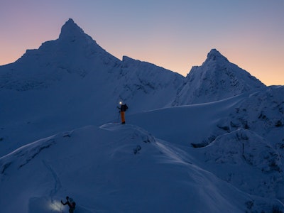
It may be spring, but winter’s not going away without a fight. Two systems will move across the country this week, bringing significant snowfall to almost every region. Snow totals of over 10 inches are expected in the Rockies, while the Lake Tahoe area could see one to two feet of snow, the first snowfall in the region in over two weeks. Light to moderate snowfall will occur in the Northeast and Midwest, and a series of storms will rock the Pacific Northwest, as well. Take a look below to see where the snow forecast for your region this week.
The Sierra Nevada…
The Sierra is known to receive heavy snowfall well into the spring, and after suffering through a rather dry season, a huge dump is expected for California this week. According to OpenSnow’s Bryan Allegretto after the 4 to 6 inches that fell across the Tahoe area Wednesday morning, snow will linger overnight, with the next storm moving in on Friday night, with heavy snowfall expected on Saturday. By Sunday morning Homewood, Sierra-at-Tahoe, Squaw Valley, Sugar Bowl and Alpine Meadows could all see 9 to 18 inches of snow. The big winners could be Kirkwood, which is expecting 12 to 24 inches, and Bear Valley, expecting 11 to 19 inches.
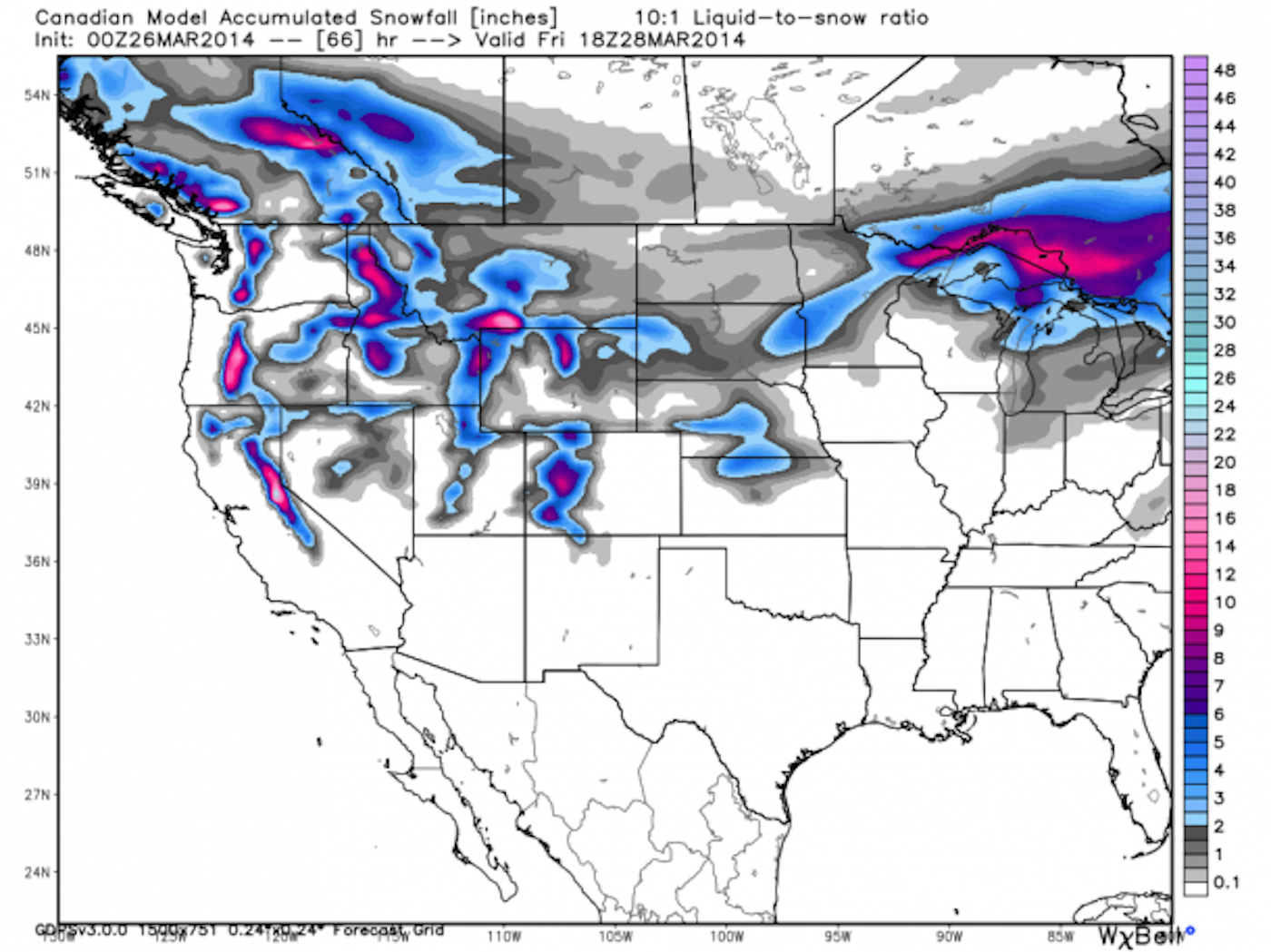

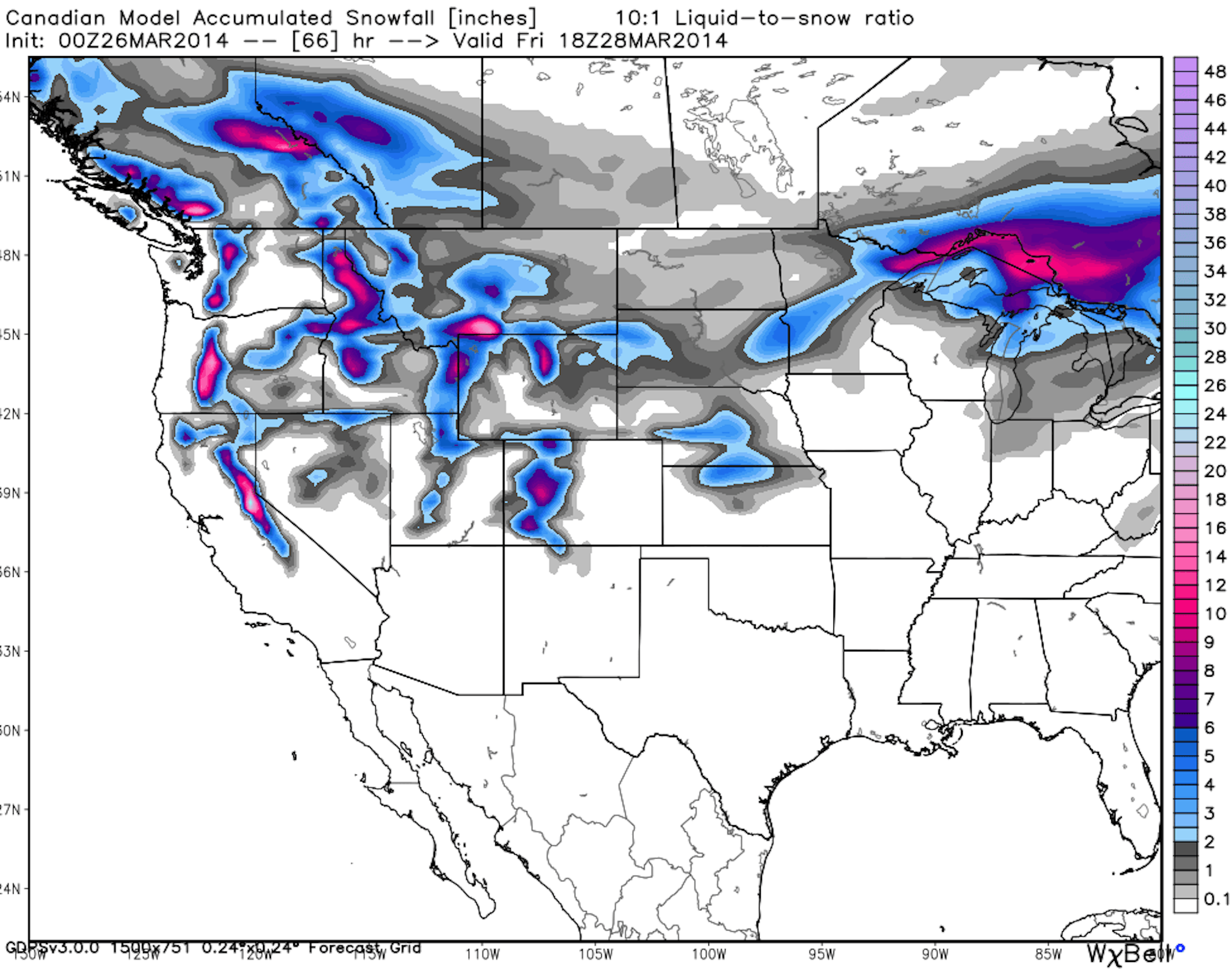
Snowfall accumulation forecast. Image courtesy of OpenSnow.com.
Colorado…
Most mountains in Colorado will see up to 10 inches of new snow by Friday morning. Then, another storm is set to hit the state on Sunday night. Crested Butte is expecting 6 to 11 inches by Friday morning, 8 to 14 at Wolf Creek and 5 to 9 at Beaver Creek.
Farther north, Arapahoe Basin should see 7 to 13 inches, Steamboat is expecting 10 to 16 inches and Winter Park is hoping for 7 to 13 inches.
Check out the Crested Butte powder cam. Hit refresh for updated snow totals.
Utah…
The Cottonwoods will be the big winners during this week’s storm, and Friday should consist of multiple faceshots for anyone that can get out of the office.
Alta and Snowbird are both expecting 7 to 13 inches from Wednesday night through Thursday night, while Solitude and Brighton are looking at 6 to 11 inches in that time period. Most other areas of the state should fall more in the 5 to 10 inch range.
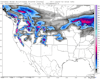
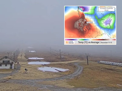
Weather radar for the state of Utah. Image courtesy of OpenSnow.com.
The Northern Rockies…
The new snowfall will make its way into the Northern Rockies as well. Wyoming will see powder days on both Friday and Sunday. Grand Targhee is expecting 7 to 15 inches of snow by Friday morning, and then another 4 to 8 on Saturday night.
Jackson Hole is looking at 7 to 15 inches by Friday and another 5 to 9 on Saturday night, meaning there should be top notch conditions for the Jackson Hole Rendezvous spring festival.
In Idaho, the best skiing may happen to be at Brundage. Snow will move into the area on Wednesday night, and by Saturday night, the ski area is looking at 17 to 35 inches. The rest of the state will fall more in the 6 to 14 inch range during that time.
In Montana, most areas of the state are expecting 4 to 10 inches of snow by Friday morning, with a chance at a bit more after that.
Pacific Northwest…
The Pacific Northwest, specifically Oregon, is looking at a huge refresh of snow this week. Mount Hood Meadows and Timberline will see powder days throughout the week, with accumulations of about 24 to 44 inches by Saturday night. Areas like Mount Bachelor will be more in the 12 to 22 inch range.
In Washington, snow will persist throughout the week, with totals of 19 to 39 inches at Mt. Baker, 15 to 32 inches at Stevens Pass, and 14 to 32 inches at Crystal Mountain by Sunday night.
Stevens Pass web cam. Hit refresh for updated images.
The Northeast…
The best chances for snow in the Northeast will be on Saturday and Saturday night. Bromley, Killington, Magic Mountain and Mount Snow are all expecting about 2 to 6 inches overnight, while the rest of Vermont will be more in the 1 to 2 inch range.
In New Hampshire, Loon Mountain and Cannon Mountain are expecting 3 to 5 inches by Sunday morning, while in Maine, Shawnee Peak and Lost Valley are looking at about 1 to 3 inches in that time.
![[GIVEAWAY] Win a Head-to-Toe Ski Setup from IFSA](https://www.datocms-assets.com/163516/1765920344-ifsa.jpg?w=200&h=200&fit=crop)

![[GIVEAWAY] Win a Legendary Ski Trip with Icelantic's Road to the Rocks](https://www.datocms-assets.com/163516/1765233064-r2r26_freeskier_leaderboard1.jpg?auto=format&w=400&h=300&fit=crop&crop=faces,entropy)

![[GIVEAWAY] Win a Head-to-Toe Ski Setup from IFSA](https://www.datocms-assets.com/163516/1765920344-ifsa.jpg?auto=format&w=400&h=300&fit=crop&crop=faces,entropy)