Featured Image: Courtesy of onX


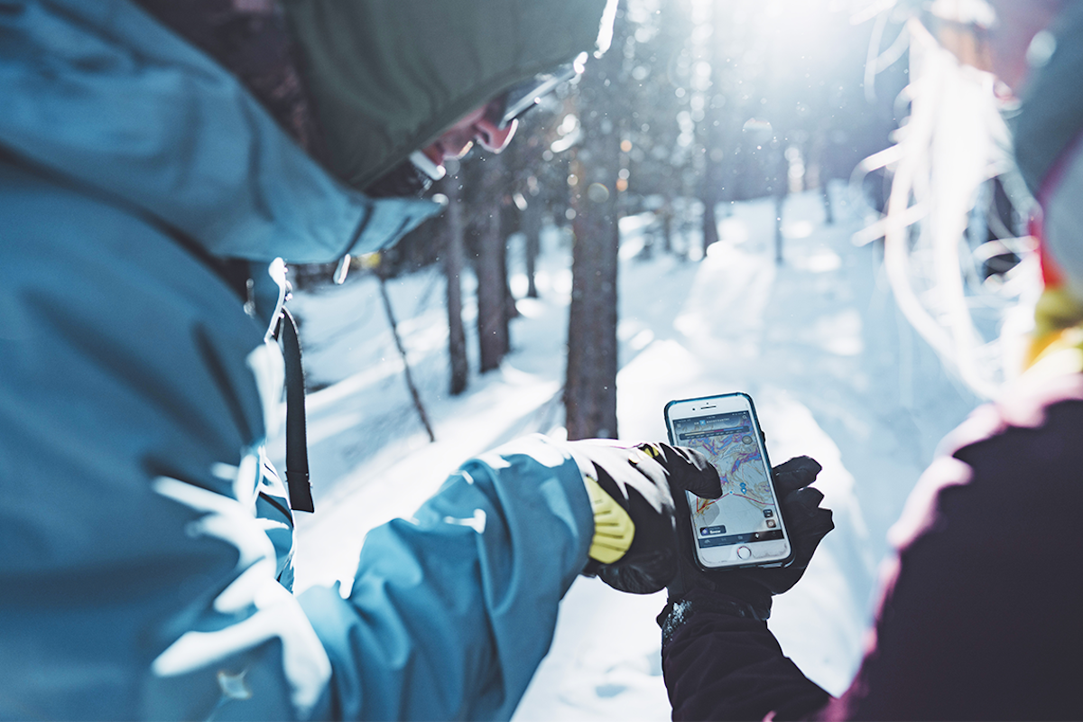
If you’ve dabbled with backcountry travel before, you’re likely aware of the many platforms that exist to help you plan an excursion. Few, if any, compare to onX Backcountry. In terms of user experience, ease, expert information and ability, there is no substitute. With recent advancements in both their summer and winter modes, we thought it was time to break down the new and improved onX Backcountry, and why the FREESKIER team trusts it year-round. It’s important we mention that this is not a paid ad. This is simply a tool that we think you as our passionate reader should be aware of, and know how to use it so you can have all the information when deciding how to adventure.
onX has been an industry-disrupting company since its inception in 2009. With the launch of the original onX Hunt App in 2013, the company cemented itself as one of the most trusted sources for land use and access information. Eric Siegfried founded the company with the goal of providing accurate land data in an accessible, customizable, user-friendly way. Both hunters and explorers of all kinds instantly recognized the value of onX, having offline access to digitized maps detailing topography, elevation, land ownership and more.
The company has changed in many ways over the last decade, with the onX Backcountry platform being a relatively recent innovation that is geared toward multiple audiences. Specifically, its targeted uses are skiing, hiking, biking and climbing. This is the first summer that there are available modes for each of these four activities, with extensive overlap in between. This makes the user experience easy and means you don’t have to relearn the platform when you switch between modes. It’s also worth noting that while fishing is not a listed mode in the app, this can be an extremely helpful tool for anglers, whether you’re navigating a large river or heading to an alpine lake.
We’ll break down the new editions to the app for 2024 and our favorite features that will assist on all your summer activities. We’ll also take a look at the revolutionary features included in the skiing mode so you can start to learn how to use the app ahead of this winter.
onX Backcountry Summer
There are two major announcements for this summer:
There’s a mode for that: For the first time this season, users have the option to navigate via Hike/Backpack, Mountain Bike, or Climb modes that present differentiated and relevant data based on the users needs.
We know a guy: onX Backcountry has teamed up with 25 Local Experts to curate lists of recommended hiking, backpacking and mountain biking routes that are designated within the app.
The backbone of the platform remains the same, but using each mode allows you to better embark on your hiking, biking or climbing mission. By toggling different map layers, users can see different information, from land ownership to 3D representations. You can even use onX to help you find where it is you want to go, as you can find trails and routes across the United States; 70,500+ miles of them to be precise. These include guidebook-like details that have been included and vetted thanks to a team of over 25 Local Experts spread across the country. In addition to the tens of thousands of trail miles, the app also gives you access to:
Filters
Need some advice on where to head? You can easily find the ideal place to head thanks to a variety of filters. The Hike and Bike Filters let you find trails that meet your desired length, difficulty and elevation gain. You can even find trails that do and do not allow dogs and electric bikes. In the Climb Filter, you can check out different routes and pick between five types of climbing: Trad, Sport, Top Rope, Bouldering and Ice/Mixed.
Offline Maps
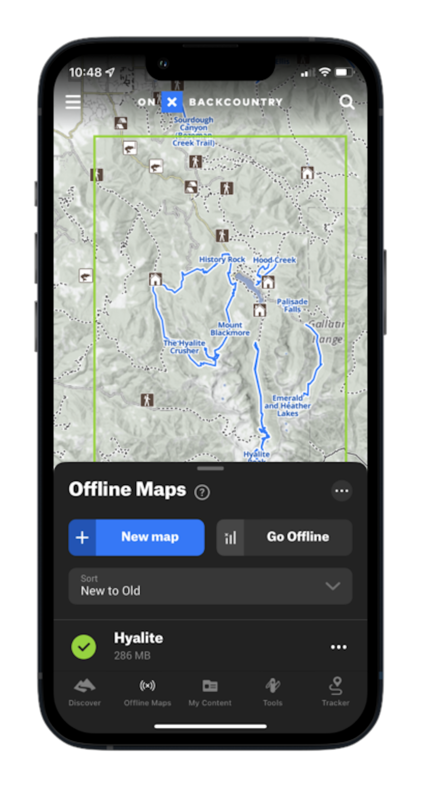
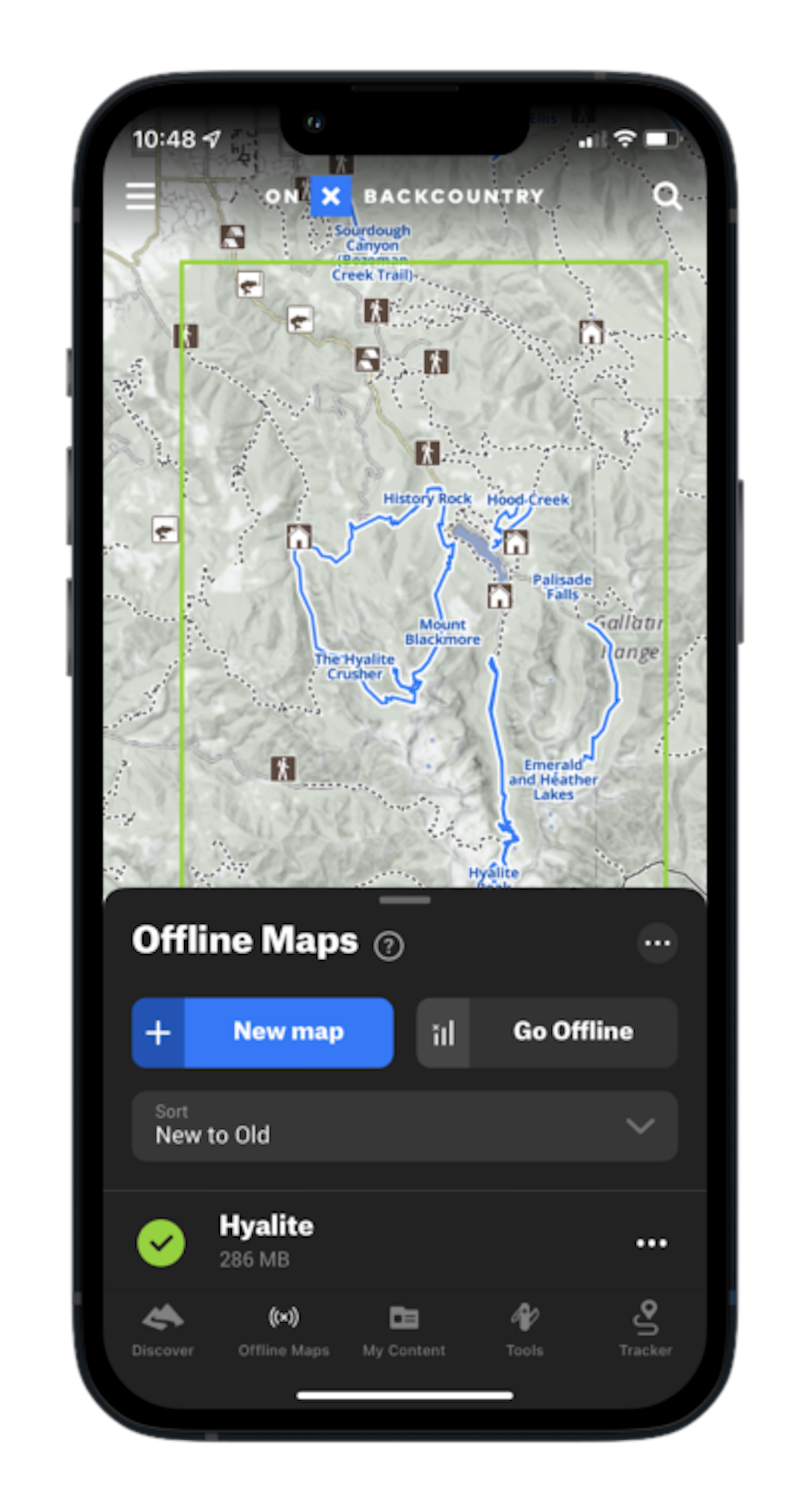
Aside from day trips, we love using the app to plan out overnight adventures. Before heading out, you can download Offline Maps of the area you’re heading into, customizable to however large or refined you choose. After selecting how detailed you prefer your download to be, (more detailed means more download space,) you’ll be able to view several key features in the area:
Topographical Information
Elevation
Built Routes
Public Access Sites
Route Builder
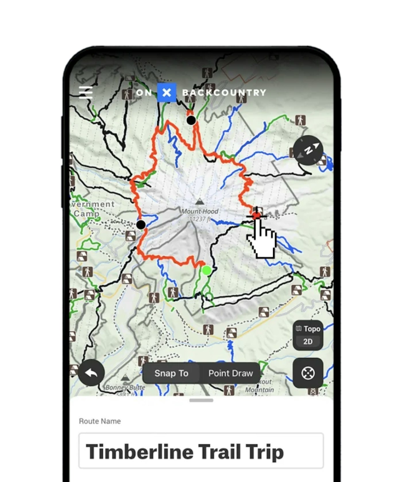
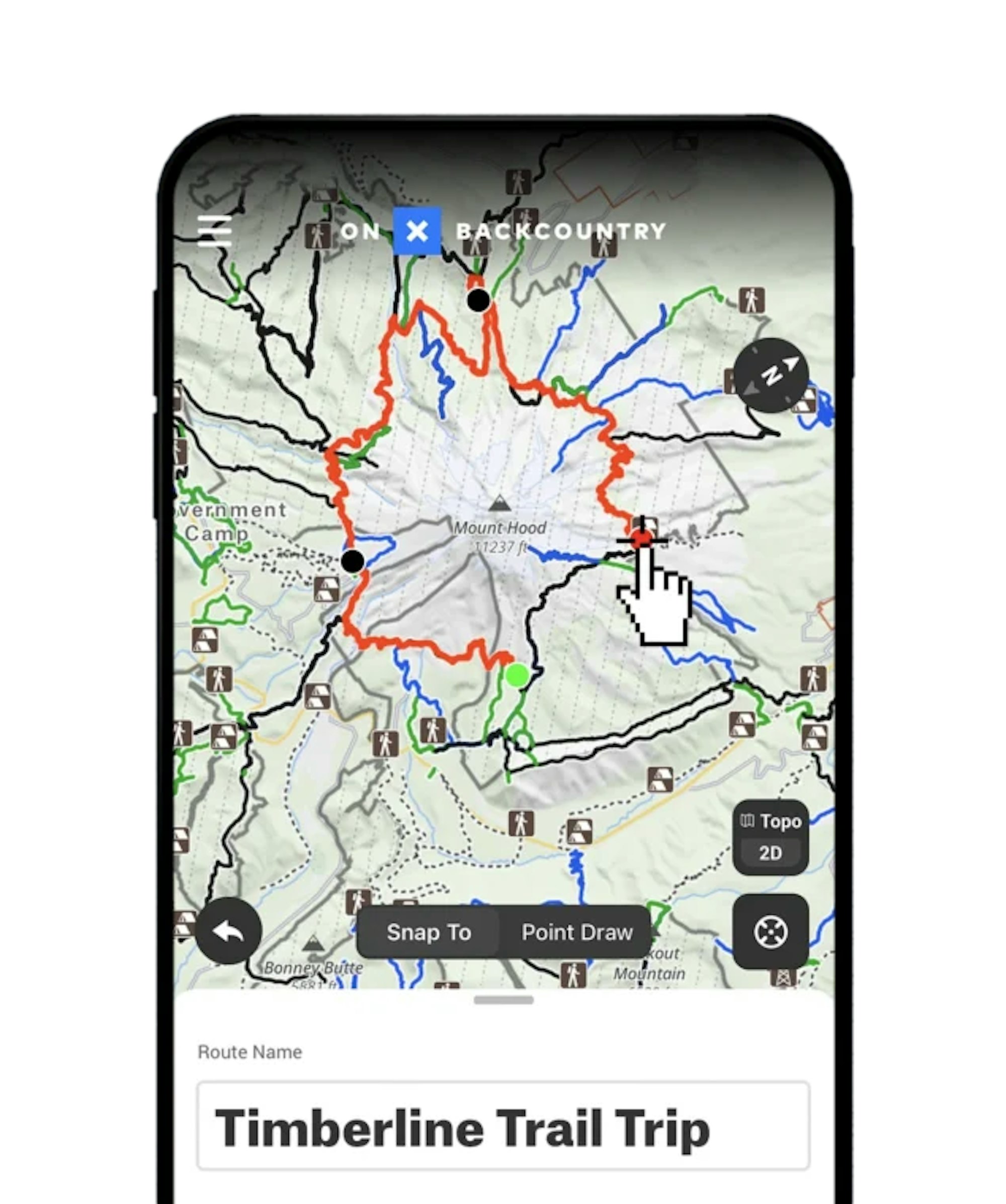
The route builder feature is incredibly helpful. In other applications, it can can be a complicated and convoluted process that takes you across different platforms and devices. Those other resources are certainly not bad, but we enjoy the streamlined simplicity that building a route in onX Backcountry brings.
As the user, you’re able to design different routes based off existing trails and your own creativity. This feature is available in both the mobile and desktop versions of the app, but it is worth pointing out that it is a much more accessible experience when done on the desktop. However, it’s easily doable on the phone if a computer is not in the cards.
Editor’s Note: With the exception of the specific Filters, these features are not exclusive to the summer modes, and are available in the Ski Tour mode as well. They are very useful for all manner of backcountry travel.
onX Backcountry Winter
If you’re an experienced backcountry skier who’s spending their summer dreaming about massive lines this winter, you’re in the right place. On the flip side, if you’re looking to ski tour for the first time this winter, you’re also in the right place. That’s because the features found in the Ski Mode of this app are helpful no matter how often you head out. You can never have too much information when dealing with avalanches and terrain dangers when skiing, just ask onX Backcountry ambassadors professional skiers Cody Townsend, Veronica Paulsen and Griffin Post.
Of course, this is no substitute for avalanche education. If you’re heading out this winter, we urge you take advantage of education opportunities in your area. We recommend checking out the websites of BCA and AIARE to get started and find courses near you. That being said, onX Backcountry offers several brilliant tools that will allow you to use your avy knowledge and make smart decisions.
Discover
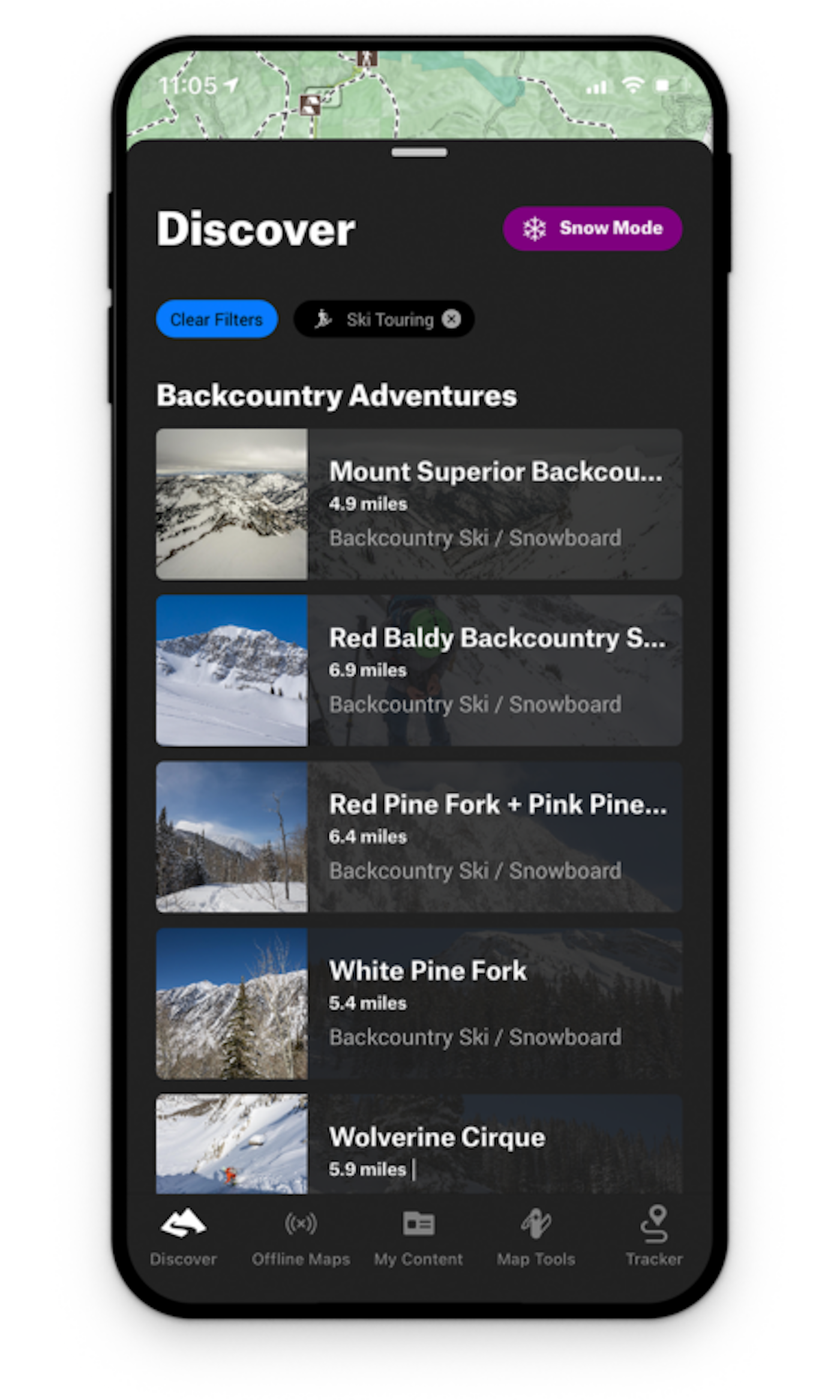
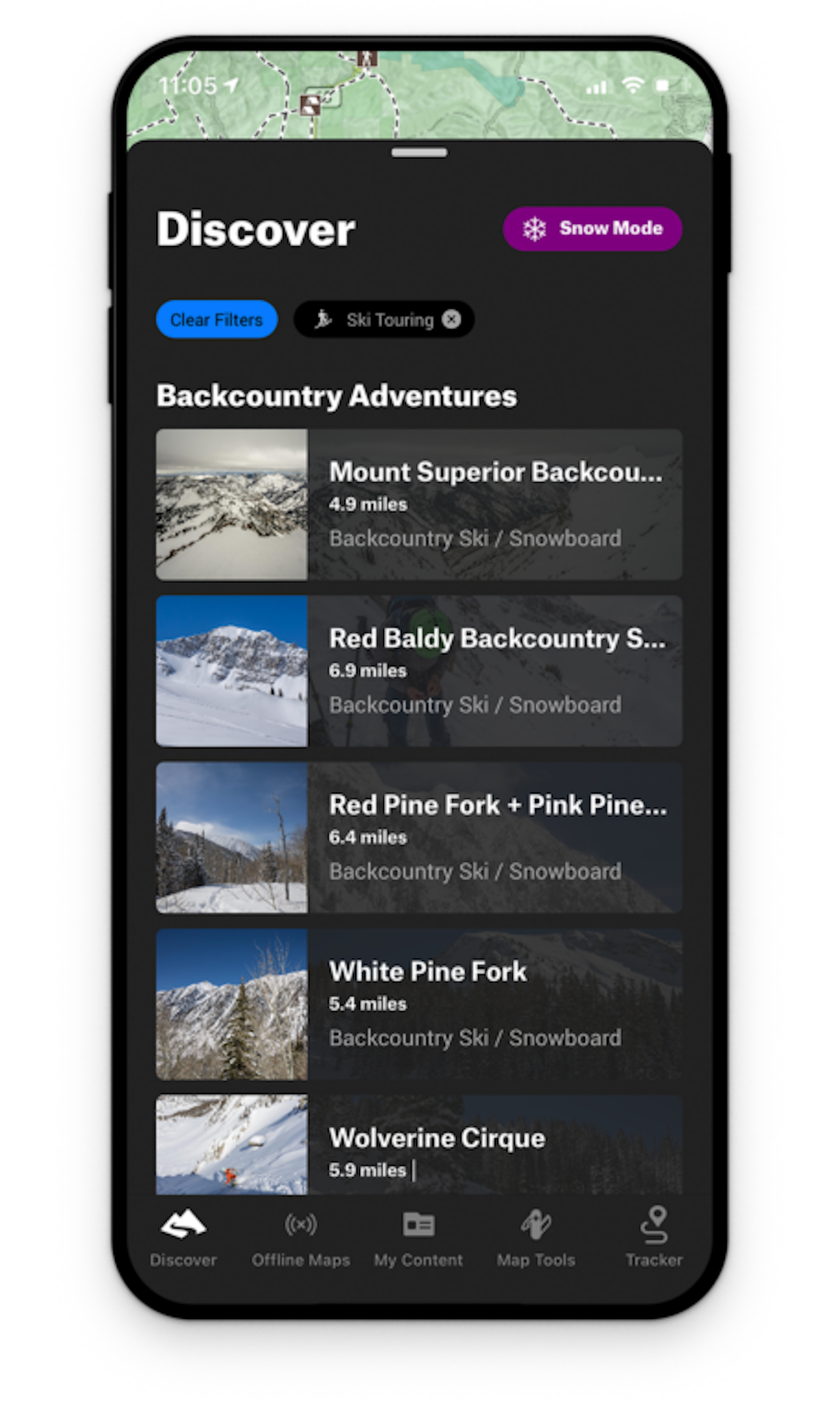
This is a great feature for any skier who is dipping their toes into backcountry adventure, or for the experienced traveler who is exploring a new zone or area and wants to learn more. The Discovery area is filled with regions and zones. Regions are larger areas, and zones are specific areas within those regions. Each region is complete with:
Live Avalanche Forecast Data
Snow Depth
24 hr. Snow Totals
Local Expert Details
“But wait! Isn’t this going to blow up my secret spot?” It’s a valid question, but the answer is almost certainly no. The Discover spots and mapped routes are primarily generic pieces of information, vetted by trusted Local Experts and meant to serve as a baseline, not an end-all be-all bible. This is a great tool that can give you knowledge regarding routes that are trustworthy and safe, depending on conditions, and meet the risk level you’re looking for. Your secret stash will stay secluded, while those who need information will have access to potentially life-saving guide books.
ATES – Avalanche Terrain Exposure Scale
Perhaps the most revolutionary feature in all of onX Backcountry, the inclusion of ATES (Avalanche Terrain Exposure Scale) marks a milestone in backcountry travel. ATES was released in December of 2023 on the app but was first developed in 2003 by Parks Canada. The system uses 11 different terrain inputs, including slope angle, starting zones, runout zones, forest density and more. Researcher John Sykes paired up with onX to bring a digitized form of ATES to the United States for the first time. According to the original press release, Sykes’s algorithm, called autoATES, “analyzes terrain in popular winter regions in onX Backcountry,” and applies the scale based on those different terrain inputs.
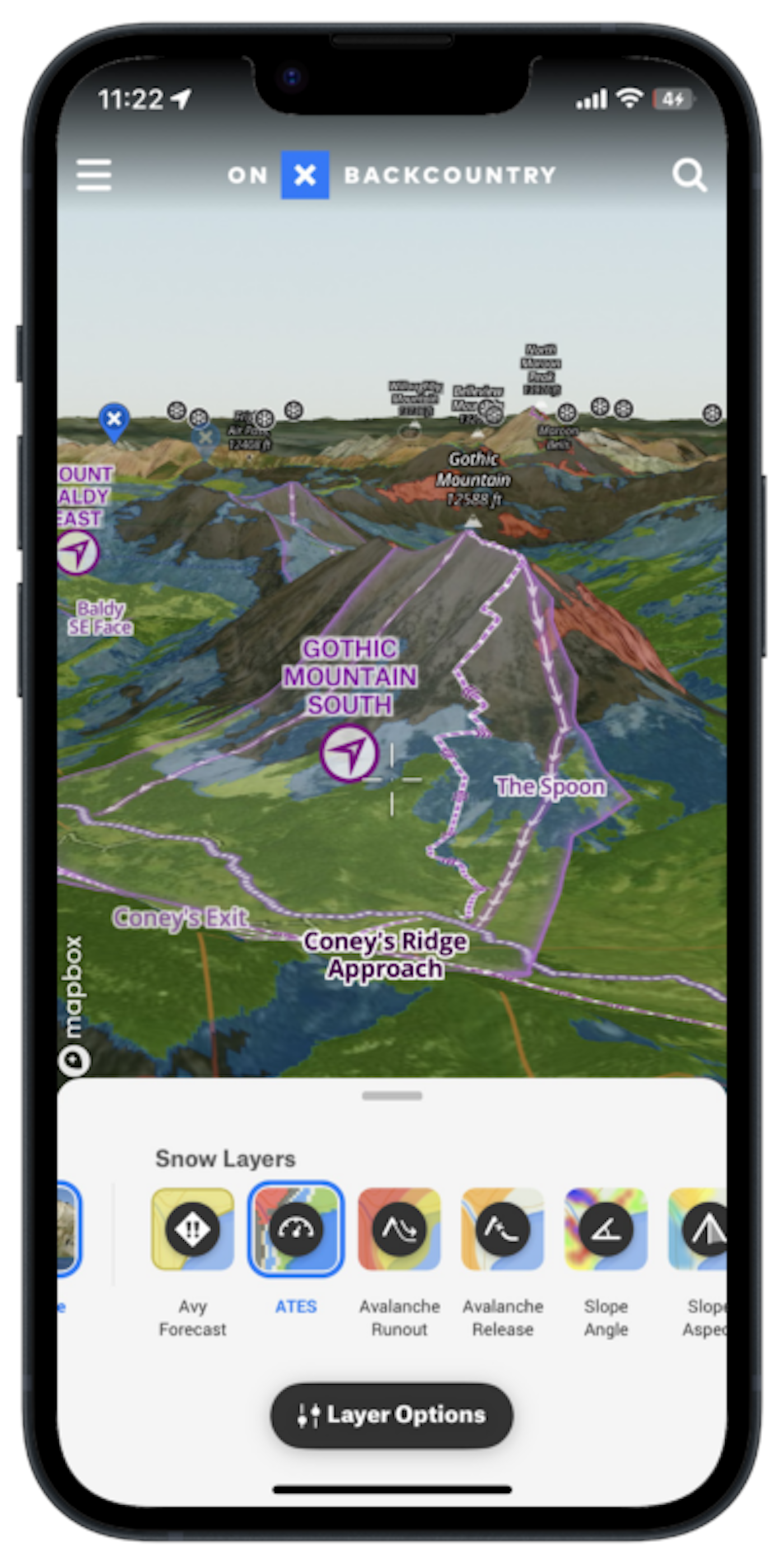
Green (Simple Terrain) – Mostly low angle and heavily forested. Minimal exposure.
Blue (Challenging Terrain) – Common avalanche runouts and paths, as well as terrain traps.
Black (Complex Terrain) – Notorious avalanche-starting zones with terrain traps that are hard to avoid. High exposure.
Red (Extreme Terrain) – Very steep faces with cliffs, spines, couloirs and crevasses. Cannot reduce exposure. Even a small avalanche could be fatal.
This tool is intended to give users an idea of the avalanche terrain they are exposed to. When traveling in the mountains, thinking that you are safe just because you are not on an exposed or unstable face can be a common misconception. ATES allows you to see areas that are dangerous because of the terrain that you might get pushed into if an avalanche were to slide, the terrain that is above you and might release, or a combination of the above.
“ATES doesn’t tell you where to go,” says Beacon Guidebook founder and onX Backcountry senior content manager Andy Sovik. “Winter outdoor enthusiasts still need to do the work to connect the forecast with the terrain and take critical avalanche safety education courses. But we are giving users the tools to apply this education right on the map.”
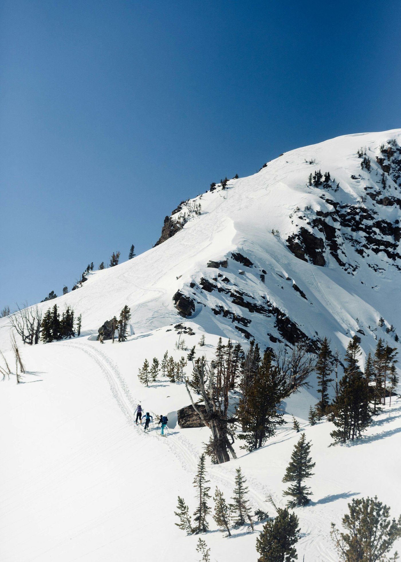
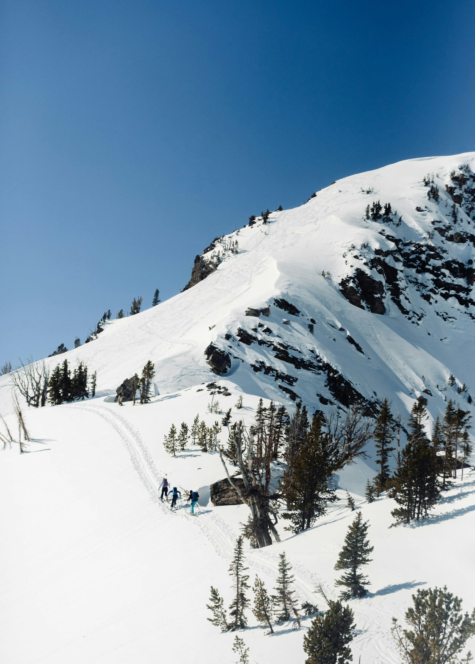
Photo: Courtesy of onX
onX Backcountry also includes an Avalanche Run Out Layer and the Avalanche Potential Release Layer as two options that users can turn on and off to isolate these factors for a better understanding of why a specific area was given its corresponding ATES rating. There are a number of helpful tutorial videos that onX has created with AMGA Guide Jason Antin, and we encourage you to watch those here.
While safety in the mountains is never a given, tools like onX Backcountry can help you manage risk and plan a route according to your vision. There’s no right or wrong way to travel, it’s all about picking what fits for you, and customizable options help do exactly that. Use these tools as templates, not as religious documents. Always be on the safe side and live to get out there another day, that’s how we like to think of it. Be sure to check out the onX Backcountry page for more information and resources.

