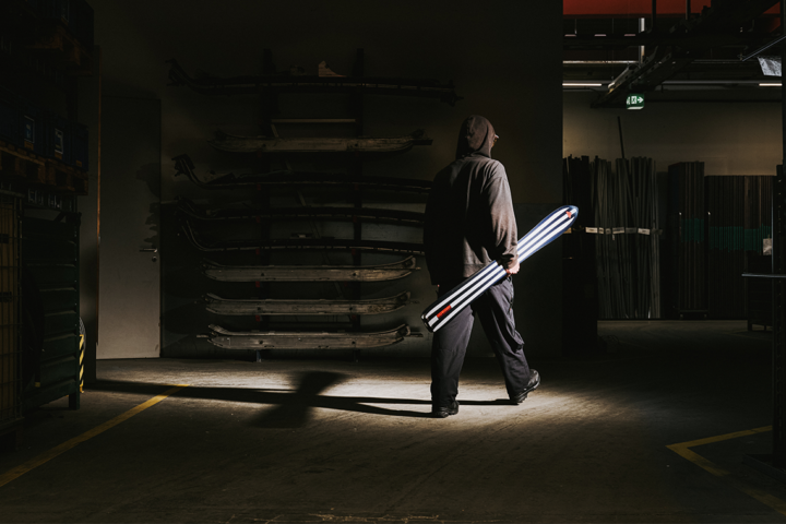
AvaTech, the makers of the SP1 and SP2 avalanche probes, just announced the launch of AvaNet—a mobile app that allows its users to make real-time observations while traveling in the mountains, and upload them to a secure platform for others to utilize. These observations can be made while tracking one’s route through the mountains (which the app does for you) and include photos, videos and comments. Users can upload images and results from snowpack tests, as well as the changes in snow consistency that occur over the extent of their routes.
Avanet also allows users to receive real-time notifications of red flag warnings and dangerous conditions in their local zones. Avanet is now available to general consumers in three versions: Avanet, Avanet Tour and Avanet Pro. Avanet is a free version of the app and provides users basic topographical and aerial maps, route tracking and the option to submit basic observations. Avanet Tour is offered for $5 per month and includes route finding tools. Avanet Pro is available for $10 per month and allows for advanced route planning, pro-level observations sharing and access to professional level data.
“The more knowledge you have the better,” says pro skier Chris Davenport. “Crowdsourced, real-time information about what’s happening in the mountains, in the backcountry, benefits professional forecast centers and backcountry users everywhere. I use Avanet in the field and trip planning, and it’s been a game-changer in how I prepare to go into the mountains.”
[su_button url=”https://avatech.com/” target=”blank” style=”flat” background=”#0e5589″ size=”5″ radius=”5″]Visit AvaTech.com[/su_button]
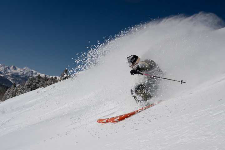
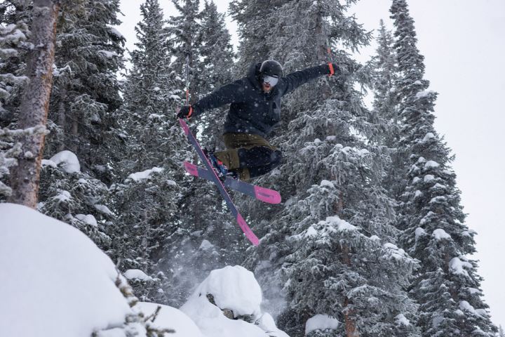
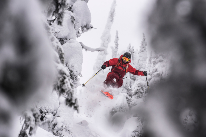
I was able to demo the app on a backcountry mission over Colorado’s Berthoud Pass this past weekend and was pleasantly surprised. Besides the drain on my iPhone battery (I suggest bringing a backup power source), the app was incredibly useful.
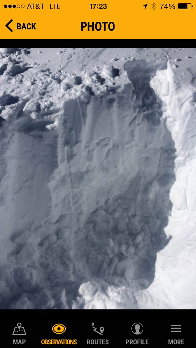
I was able to track a route in a zone that I commonly travel and get hard data about the current conditions along that route, as well as distance and time traveled, elevation gained and elevation lost. I was also able to record the findings of a snowpack test for others in the area to see once I was back in cell range and my data could sync to the Avanet platform. See below for a snapshot of the route.
It will be exciting to begin using the crowdsourced data to better plan routes, prepare for snow conditions in various zones and move more safely and intelligently through the mountains.
For more visit avatech.com.