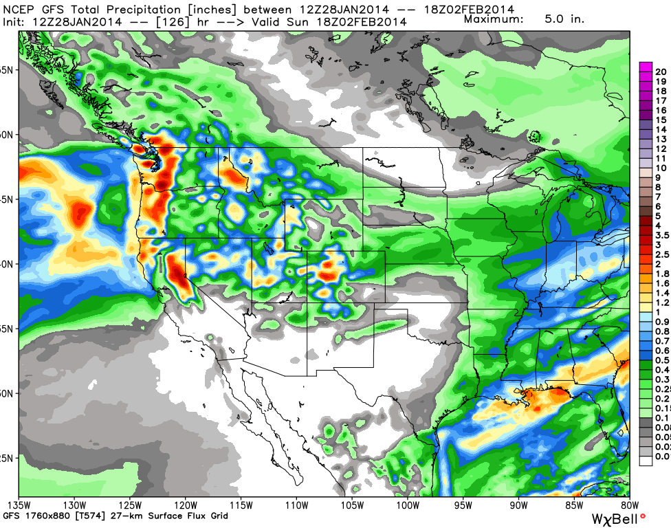
It’s finally here: after what has seemed like an eternity since the last significant snowfall in California, the high pressure system in the Pacific has lifted, and a storm is headed straight for Tahoe, meaning much improved conditions at most areas this weekend. The Rocky Mountains will get a welcome relief from the recent dry spell, as storms will blanket Utah, Colorado, Montana, Wyoming and Idaho with over a foot of new snow this week. The Pacific Northwest will also get in on the action in the early to middle part of the week, while the Northeast could see some snow this weekend, just in time for Super Bowl XLVIII.
Check out where the snow will be falling for the rest of this week, with special thanks to our friends at OpenSnow.com.
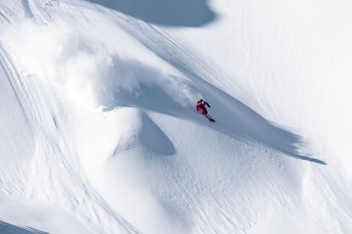
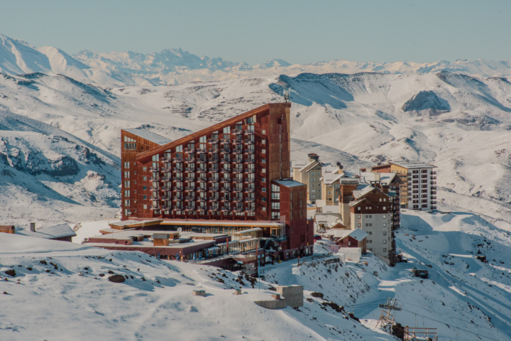
The Sierra Nevada
OpenSnow.com’s Bryan Allegretto notes that this could be the biggest storm in the Lake Tahoe region in over 13 months. The skiers in Tahoe are biting at the bit to break out their powder planks, and they’ll have a chance to do so on Thursday and Friday. The snow will begin on Wednesday night, with snow levels starting at 8,000 feet and falling to 7,000 feet as it gets colder overnight. On Thursday, a low pressure system will move into Northern California, and the cold front already in place will move south, causing an increase in precipitation and decrease in snow elevations, making for snow accumulation all the way down to lake level. Allegretto is forecasting one to two feet of new snow above 8,000 feet, eight to 18 inches above 7,000 feet, and four to 12 inches at lake elevation. The snow will taper off on Friday, but the region will see much colder air over the weekend, with another chance for snow on Sunday.

Things are looking up; check out Sierra-at-Tahoe’s webcam for up to the minute imagery. Refresh for new image.
Colorado
Colorado will see a refresh of snow after a couple of weeks of sunshine. The storm that hit on Sunday night, lasting into Monday night, produced 11 inches of new snow for Winter Park, seven inches of new snow at Loveland, and seven inches at Eldora.
The next storm is set to invade the state on Wednesday night, and last through Friday night. The most significant snowfall totals will occur in the central mountains with 13 to 26 inches projected for Aspen Highlands, Aspen Mountain, Crested Butte, and Monarch through Friday night, while most other areas in the state will see 10 to 20 inches through Friday night.

Aspen Highlands webcam. Hit refresh for up to date images of new snowfall.
For daily Colorado powder forecasts from OpenSnow founder Joel Gratz, click here.
The Northern Rockies
The northern portion of the Rocky Mountains should expect some big snow totals coming out of this week’s storm system.
All of Idaho should expect snow for the middle to late part of this week. Starting in the southern portion of the state, starting Wednesday, Sun Valley could see up to eight inches of fresh powder by Friday, and Soldier Mountain will see much of the same. In the northern part of Idaho, the storm will hit Wednesday, hammering ski areas like Lookout Pass, Magic Mountain, and Silver Mountain in the northern portion of the state with anywhere from 12 to 20 inches.

Water vapor animation from Tuesday morning. Image courtesy: Weathertap.com.
Montana should prepare for a couple of days of powder skiing starting on Wednesday. That day, the highest snowfall totals will be at Showdown Mountain (four to eight inches), Discovery Ski Area (three to seven inches), and Lost Trail Powder Mountain (three to seven inches). Another couple of inches will fall at those resorts overnight, with places like Whitefish (three to seven inches), and Blacktail Mountain (three to seven inches) stacking up more powder than the rest. Moving into Thursday, Montana Snowbowl should see three to seven inches, and Big Sky should have one to three inches of snow by Friday morning.
Wyoming may get the most snow of the states in the Northern Rockies, as Jackson Hole could see 14 to 28 inches from Wednesday through Saturday night; Grand Targhee will be the other hot spot in the state, as it’s projected to receive anywhere from 14 to 28 inches in that same time period, as well.

Jackson Hole’s “top of the gondi” webcam images. Refresh to update.
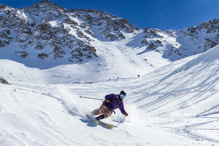
Utah
Utah is looking at a pretty spectacular couple of days of skiing, beginning late Wednesday afternoon and lasting well into the weekend. Snow will begin to fall above 8,000 feet early in the day on Wednesday and will increase as the afternoon progresses. According to OpenSnow’s Evan Thayer, snow levels should fall into the 5,000 to 6,000 foot range through the night. By the end of the storm on Friday night, Powder Mountain could see 10 to 24 inches of snow, 11 to 23 inches at Alta, and The Canyons should see 10 to 21 inches.

Check out the Snowbird snow stake web cam for up to the minute snow totals. Refresh for up to date image.
Pacific Northwest
The conditions in Oregon and Washington should be great towards the end of this week. The snow began Tuesday night, and should continue through Thursday morning for many areas in Oregon. Mount Hood Meadows and Timberline should each see 12 to 28 inches by Thursday, while Mount Bachelor should receive eight to 16 inches in that same timeframe.
Washington should see much of the same, with the most snowfall occurring at Mt. Baker, Crystal Mountain, Stevens Pass, and Alpental (surprise, surprise). Those four areas should all see 10 to 20 inches by Thursday night, with Alpental projecting 12 to 25 inches.

The Crystal Mountain webcam for images throughout the storm. Hit refresh for up to date images.
The Northeast
One ski area will stand out from the rest in the Northeast, at least for the beginning of the week. New York’s Dry Hill Ski Area is projected to receive 11 to 18 inches of snow from Tuesday through Wednesday night, meaning a deep powder day for Thursday. From there, more snow will move into the area on Saturday, with the highest projections going to Peek’n Peak Resort (four to eight inches), Plattekill Mountain (three to seven inches), and Greek Peak (three to seven inches).
In New England, a Clipper system (a fast moving low pressure system moving in from Canada) should move into the area Saturday morning, with northern resorts in Vermont like Jay Peak, Mad River Glen, and Stowe receiving two to four inches throughout the day, and southern resorts like Magic Mountain, Mount Snow, and Stratton getting three to five inches.
The snow will reach New Hampshire later on Saturday, bringing three to seven inches of snow to Attitash, Black Mountain, and Cranmore and four to eight inches to Cannon Mountain and Loon Mountain. In Maine, the snow will begin Saturday night, bringing three to seven inches to Hermon Mountain, Shawnee Peak, and Sugarloaf, and three to five inches to Sunday River, and Saddleback.
Midwest
It looks like Michigan should see the most snow in the Midwest, starting on Thursday. Areas such as Boyne Mountain, Caberfae Peaks, and Mt. Holiday Ski Area are expecting two to four inches, while the norm is about one to three inches for the rest of the state. Another shot at some accumulation will come on Saturday, with two to four inches expected at Swiss Valley, Pine Knob, and Mount Brighton.


One thought on “Snow Forecast 1/29 – 2/1: Heavy snowfall expected across the country”
Comments are closed.