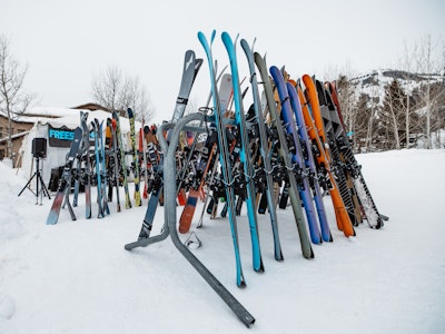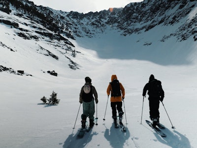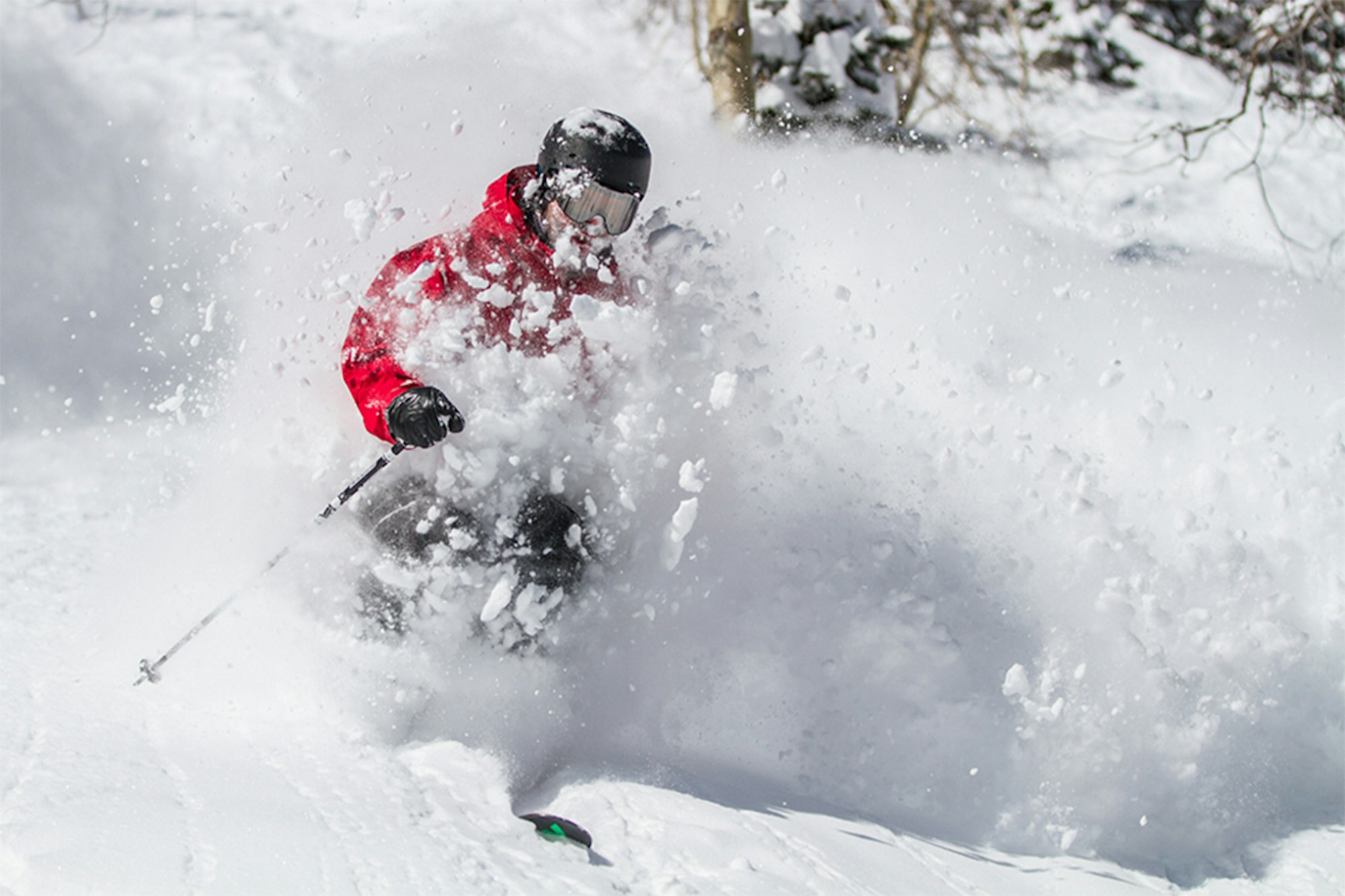


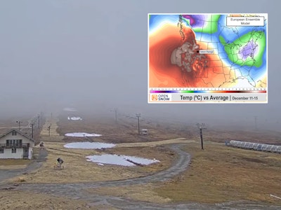
Life is good; the western United States are enjoying continued snowfall while the East Coast has finally returned to form. The top-notch ski conditions will continue this week for skiers everywhere. So bust out your fat skis, dust off your snorkle and get ready to feast upon a boat load of pow—there’s a storm brewin’, folks.
Please note: All snow total predictions are sourced from OpenSnow.com and reflect the 5 day snow totals for this week.
California
The Sierra Nevada will continue its rebound from four years of low snowfall hell this week. Snow begins on Wednesday for the Tahoe region, with Squaw Alpine, Kirkwood, Sierra-at-Tahoe and Sugar Bowl all expecting 7 to 10 inches throughout the day. After a short lull, more snow will fall beginning Thursday night with another 5 to 7 inches expected for those same areas by Friday morning. It doesn’t stop there. Another storm hits Saturday morning, with another 4 to 6 inches of snow forecasted.
Oregon and Washington
Steady snowfall will hit Oregon beginning Wednesday. Through Sunday, Mount Hood Meadows is forecasted to receive between 23 and 46 inches of new snow. Mt. Bachelor will be more in the 11 to 23-inch range.
Snow will also be plentiful in Washington this week. From Wednesday through Sunday, Mt. Baker can expect 17 to 40 inches of pow, while Crystal Mountain and Stevens Pass will be in the 16 to 35-inch spectrum.
Colorado, New Mexico and Utah
Colorado will get a nice refresh on the tail end of this week. A couple of inches is expected each day, Thursday through Sunday. While most ski areas can expect totals in the 9 to 21-inch range through Sunday, Steamboat is expected to be the big winner with a forecast of 14 to 26 inches.
Moderate snowfall is predicted for the Wasatch, too. Snowbird, Alta, Snowbasin, Powder Mountain, etc., are forecasted to receive 13 to 31 inches through Sunday.
The storms aren’t forecasted to track far enough south to hit New Mexico, but conditions are still great (Taos Ski Valley is reporting an 80-inch base depth).
Idaho, Montana and Wyoming
Idaho’s Magic Mountain is forecasted to receive the highest snowfall this week. From Wednesday through Sunday, expect a solid 14 to 27 inches of new snow.
Most of Montana can expect 3 to 5 inches of new snow this week, but Montana Snowball and Whitefish are forecasted to receive 11 to 25 inches.
Jackson Hole is forecasted for moderate snowfall this week, in the form of 8 to 23 inches from Wednesday through Sunday.
British Columbia and Alberta
Along the coast, Whistler Blackcomb is expecting 20 to 42 inches from Wednesday through Sunday evening. Farther inland, resorts like Revelstoke, Whitewater and Kicking Horse are forecasted for 5 to 16 inches in that timeframe.
Alberta will remain fairly dry, with chances for a trace to one-inch of snow expected most days this week.
New England
Snow is back on the East Coast! It’ll continue in spurts this week. Powder King Jay Peak Resort is forecasted for 2 to 5 inches on Wednesday with an additional 3 to 8 predicted for Saturday through Sunday evening.
New Hampshire will have a white weekend, as Cannon Mountain, Attitash and Bretton Woods are forecasted to receive 5 to 11 inches from Friday evening to Sunday morning.
Maine (The Way Life Should Be) will also have a great weekend, with Sugarloaf and Sunday River forecasted for 4 to 10 inches of snow.
![[GIVEAWAY] Win a Head-to-Toe Ski Setup from IFSA](https://www.datocms-assets.com/163516/1765920344-ifsa.jpg?w=200&h=200&fit=crop)
![[GIVEAWAY] Win a Legendary Ski Trip with Icelantic's Road to the Rocks](https://www.datocms-assets.com/163516/1765233064-r2r26_freeskier_leaderboard1.jpg?w=200&h=200&fit=crop)


![[GIVEAWAY] Win a Legendary Ski Trip with Icelantic's Road to the Rocks](https://www.datocms-assets.com/163516/1765233064-r2r26_freeskier_leaderboard1.jpg?auto=format&w=400&h=300&fit=crop&crop=faces,entropy)


![[GIVEAWAY] Win a Head-to-Toe Ski Setup from IFSA](https://www.datocms-assets.com/163516/1765920344-ifsa.jpg?auto=format&w=400&h=300&fit=crop&crop=faces,entropy)