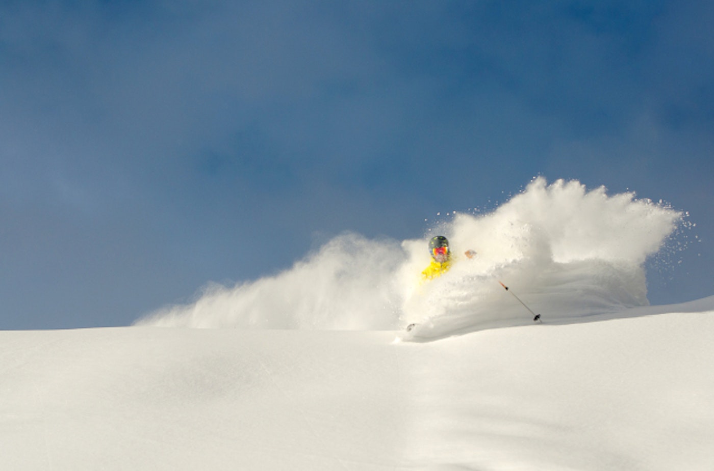
While a band of high pressure has plagued the western United States, the East Coast just benefitted from a colossal amount of snow from Winter Storm Juno. This week, the snow will return to many areas of the country, setting up for some great skiing conditions.
The Southwest
Big snow totals are expected for both Arizona (yes, there’s skiing in the The Grand Canyon State) and New Mexico on Friday and Saturday. Zona’s Sunrise Park Resort is forecasted to receive a whopping 35 inches of the white stuff from Friday into Sunday morning, while Arizona Snowbowl is looking at 21 inches in that timeframe.
In New Mexico, Pajarito Mountain, located near Santa Fe, is looking at a gargantuan 33 inches of new snowfall from Friday to Sunday, with other areas like Sipapu expecting about 15 inches of snow.
The Northeast
The East Coast just got walloped by Winter Storm Juno. In Connecticut, Ski Sundown and Mohawk Mountain reported a solid eight inches of fresh, while areas closer to the Atlantic coast in Massachusetts like Bradford and Nashoba Valley reported 25 and 26 inches respectively.
Moving forward, there will continue to be optimal chances for pow days on the “Beast Coast.” On Friday and Saturday, Maine will look to get in on the pow frenzy, as Big Rock is looking at 17 inches of new snowfall on Friday and Saturday, with Mt. Jefferson is looking at 14 inches in those two days.

Southern Vermont is forecasted to have a couple of solid powder days this week. The majority of snow will fall on Friday, with lingering showers into Sunday. The result will be 11 inches of new snow for Bromley, Magic Mountain and Mount Snow. Get after it in the Green Mountains!
New York will see similar snowfall totals to Vermont, with Snow Ridge, Royal Mountain and McCauley Mountain all expecting between 10 and 11 inches of the white stuff.
In the Granite State (New Hampshire, for you n00bs) Loon Mountain and Waterville Valley are both forecasted to have a nice nine inches of new snow on Friday through Sunday.

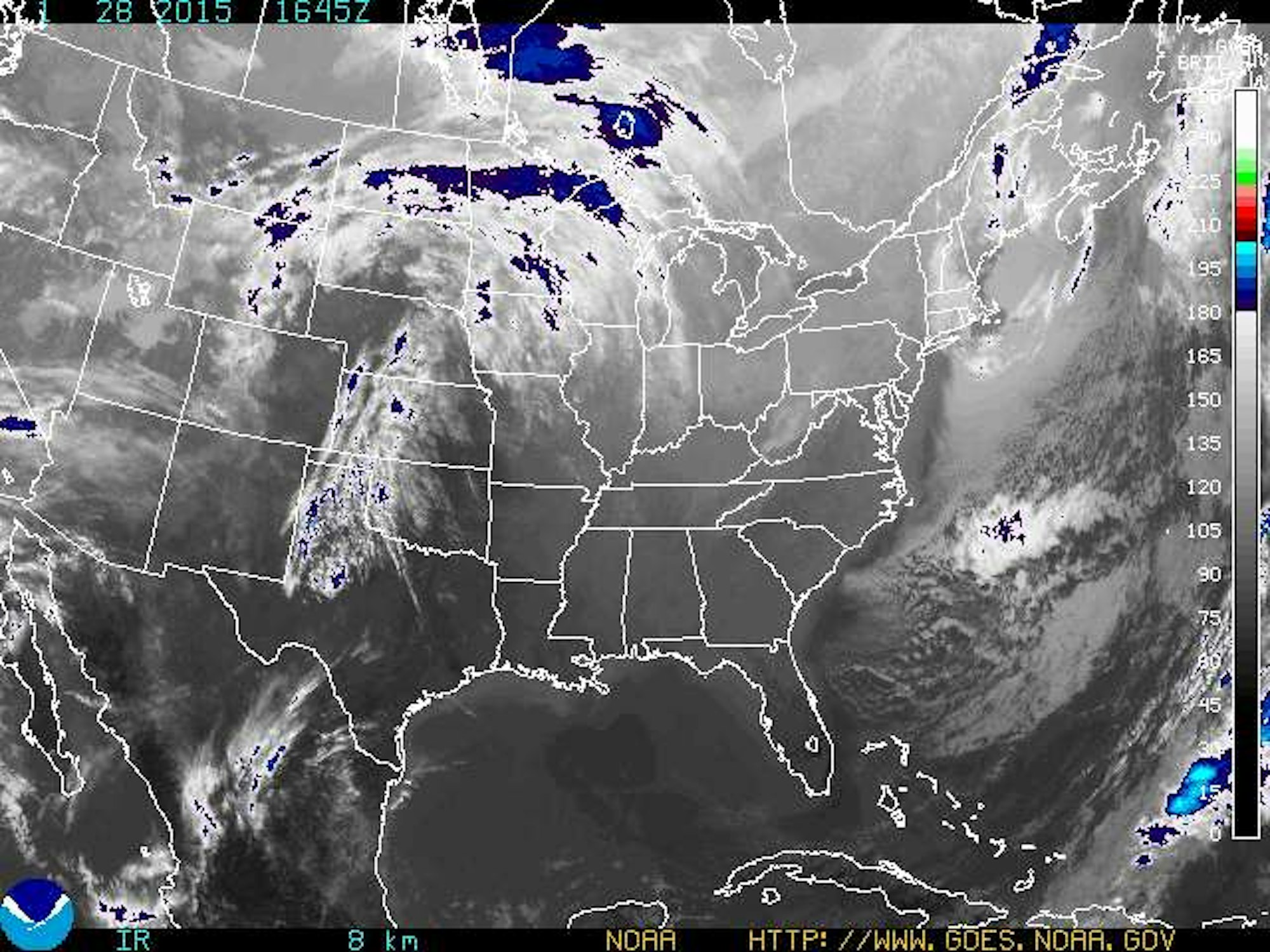
That band of precipitation over the Midwest is headed straight for New England. Image courtesy of NOAA
Colorado
After quite the warm spell in the Centennial State, snow will return for the latter part of this week. Wolf Creek, which has the highest average annual snowfall in the state, is looking at 15 inches of new snow by Sunday of this week. Farther west, Purgatory is expecting 11 inches in that time while the rest of the state is looking at around nine inches across the board. Skiers may have enjoyed those “spring-like” days this week, but the new pow will be welcomed by all (especially with the Broncos NOT playing on Sunday).
Alaska
Up in AK, Eaglecrest is looking at about eight inches by Thursday while Alyeska is looking at about five inches.
Utah
Southern Utah looks to benefit most from the late week storm, as Eagle Point and Brian Head are expecting nine inches of new snow on Friday and Saturday. Resorts closer to Salt Lake City like PCMR, Canyons, Deer Valley, Alta and Snowbird will all be in the three to four inch range.
The Northern Rockies
There’s some small chances for snow in Montana, with forecasts of seven inches for Red Lodge on Friday and Saturday, while the rest of the state is expecting about three inches.
Most areas in Idaho and Wyoming can expect a dusting this week.
Pacific Northwest
Another less-than-ideal week for the Pac NW, as the only real snowfall will be at Mt. Baker, with about two inches of accumulation expected.
The Sierra Nevada
Many areas in Tahoe woke up to a solid couple of inches of snow today, but the rest of the week looks dry.

![[GIVEAWAY] Win a Head-to-Toe Ski Setup from IFSA](https://www.datocms-assets.com/163516/1765920344-ifsa.jpg?w=200&h=200&fit=crop)

![[GIVEAWAY] Win a Legendary Ski Trip with Icelantic's Road to the Rocks](https://www.datocms-assets.com/163516/1765233064-r2r26_freeskier_leaderboard1.jpg?auto=format&w=400&h=300&fit=crop&crop=faces,entropy)


![[GIVEAWAY] Win a Head-to-Toe Ski Setup from IFSA](https://www.datocms-assets.com/163516/1765920344-ifsa.jpg?auto=format&w=400&h=300&fit=crop&crop=faces,entropy)