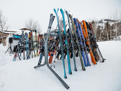


Want to score the best turns of your life this season?
Click here to see FREESKIER’s comprehensive ski resort rankings.
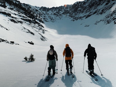
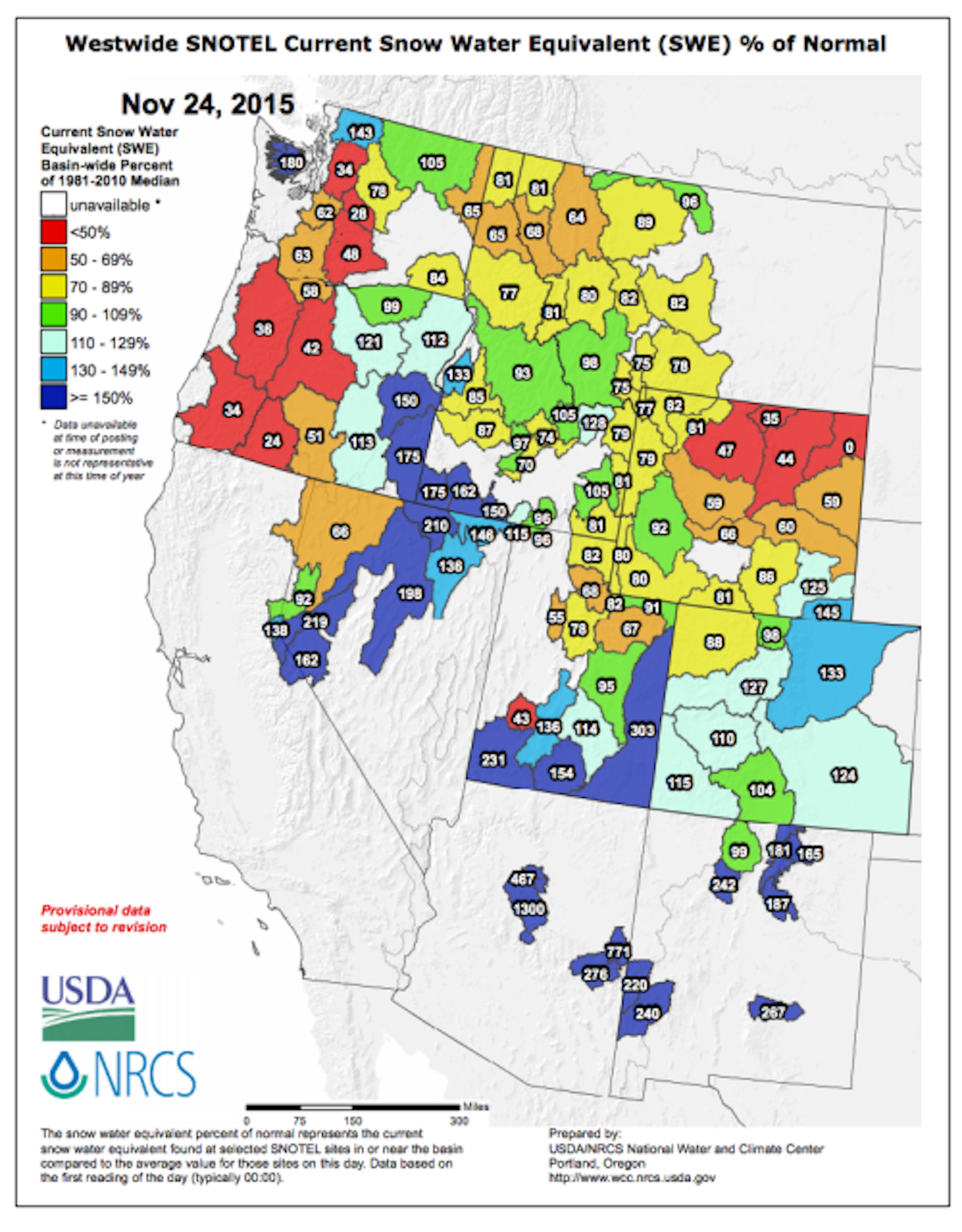
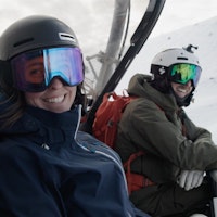
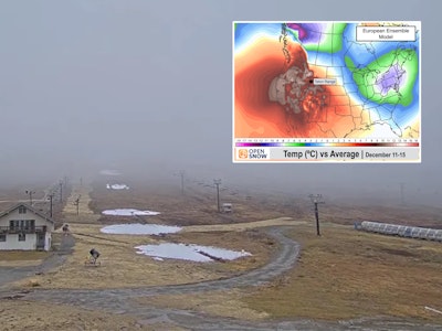
Happy Thanksgiving, readers. Today, we’re thankful that ski season is in full swing and pow turns are on the horizon for much of North America. Currently, the snowpack (based on the Snow Water Equivalent Basin-wide Percentage) is above average in the majority of Colorado, Lake Tahoe, eastern Oregon, northern New Mexico, northern Washington, southern Utah and southern Idaho. On the flip side, unfortunately, the majority of Washington and Oregon sit well below average, while western Montana and northwestern Wyoming sit at about 70 to 85-percent of average. Here’s hoping the weather brings ample snow to all.

Colorado, Utah, New Mexico
The majority of Colorado is sitting pretty and well over 100-percent of average in terms of snowpack for this time of year. The trend is set to continue over Thanksgiving. Most ski areas in the state can expect two to four inches of snowfall from late Wednesday night into Thursday afternoon. Joel Gratz of OpenSnow has higher confidence in bigger snowfall totals for areas along and east of the Continental Divide, such as Eldora, Winter Park, Loveland and Arapahoe Basin. On Friday night, another band of snow will move into the state with most areas seeing four to six inches by Monday. Wolf Creek, in the San Juans, could get blasted with snow, to the tune of a possible 18 inches by Monday.
To the south, New Mexico is off to a fast start—something indicative of an El Niño year. Snow is set to hit “The Land of Enchantment” on Thursday night, with areas like Taos Ski Valley expecting four to eight inches by Sunday, while Ski Apache is forecasted to receive six to twelve in that timeframe.
In Utah, the Wasatch—where areas like Snowbird, Alta and Park City are situated—has a current snowpack sitting at about 67 to 75 percent of normal. However, in southern Utah, specifically the Dixie National Forest where Brian Head Resort is found, the snowpack is at about 136 percent of average. As for the short range forecast, Thursday morning should prove fruitful for most areas in the northern portion of the state. Through Thanksgiving day, the Cottonwood Canyon ski areas can expect eight to 12 inches of fluffy white goodness, while Park City should enjoy three to eight inches. Brian Head is in for about one to three inches of new snow.

The Sierra Nevada
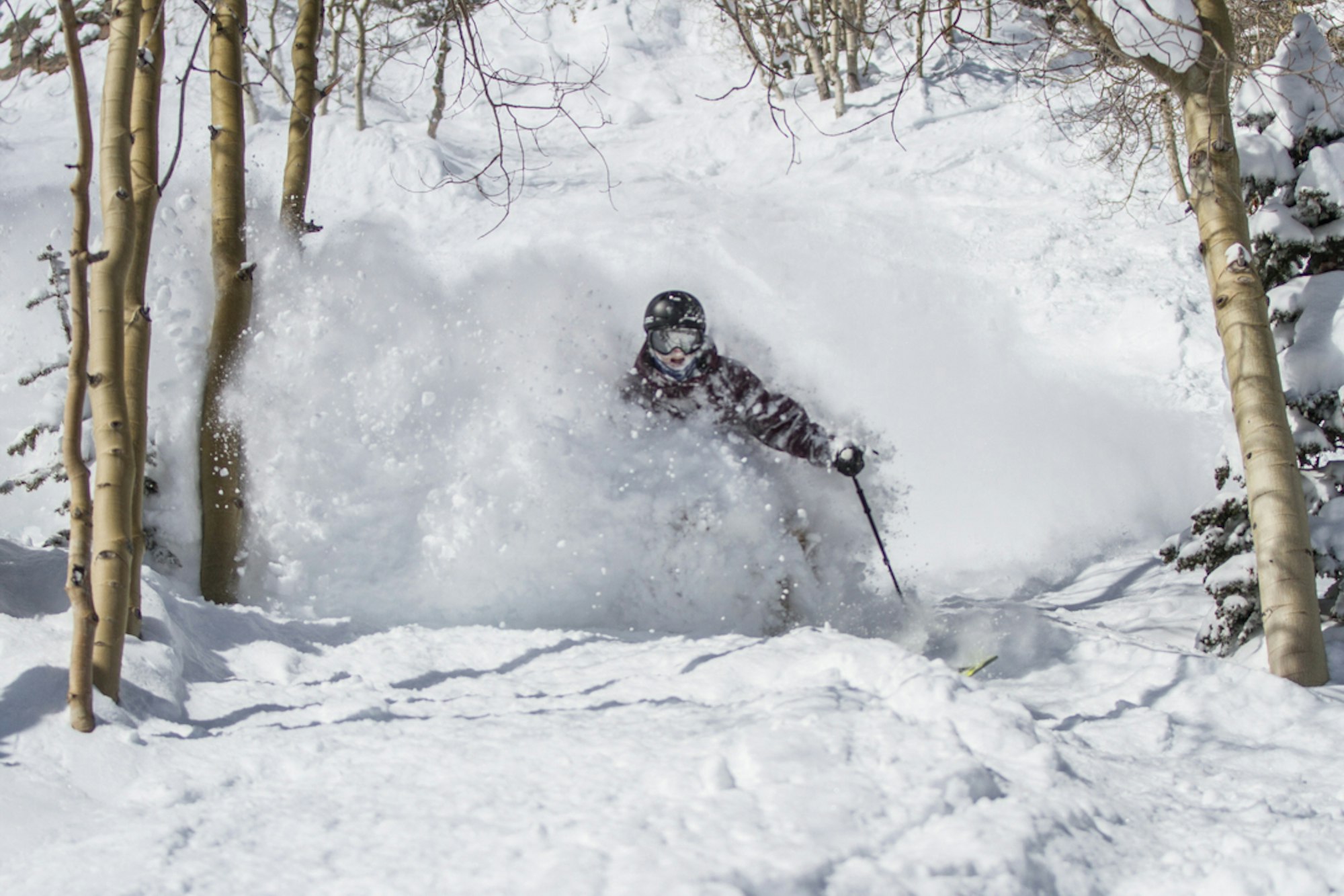
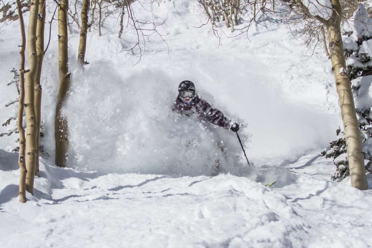
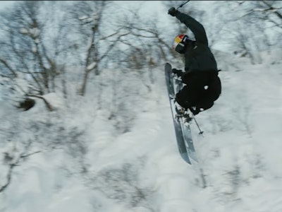
Wind and precipitation are the names of the game for California going into the Thanksgiving holiday. Heavy snowfall moves into the Tahoe region, and is expected to drop nine to 14 inches of accumulation by Wednesday morning. From there, chances for snow will continue in smaller bursts through Saturday. In the Mammoth Lakes area, Mammoth Mountain and June Mountain are looking at about six to 13 inches of snow through Wednesday evening. California, here’s to more of this:
Idaho, Montana and Wyoming
After a relatively slow start to winter (excluding Idaho), snowfall should ramp up this week for the northern Rockies.
Snow will wander its way into Idaho Tuesday evening, with the southern portion of the state expected to rack up the highest snow totals. Sun Valley is forecasted to receive two to five inches by Thursday, while Magic Mountain is looking at five to nine.
In Montana, much-needed snow will fall from the sky Tuesday through Wednesday. Big Sky is looking at six to 11 inches by Wednesday evening, while Bridger Bowl can expect four to seven. The next shot at snow will come next Thursday. Wyoming can expect a solid day of snowfall on Wednesday. Jackson Hole, which opens on Thursday, is expecting six to 10 inches through Thursday morning. How’s that for an opening day? Farther north at Grand Targhee, which opened November 20, three to seven inches is forecasted to blanket the slopes by Thursday morning.
Oregon and Washington
A snowstorm will plant itself over Oregon Tuesday night. The weather pattern is predicted to drop six to 10 inches on Mt. Bachelor which currently has three runs opening including a terrain park. This storm should help the resort open more terrain. The Mount Hood area is looking at two to five inches by Wednesday morning. In Washington, a dusting is expected for much of the state on Tuesday night. The rest of the week will remain dry, but a shot at some decent snowfall will occur toward the end of next week.
New England
After unseasonable temperatures last week, northern New England has had chilly enough weather to continue snowmaking at many resorts. These more seasonable temperatures should pervade through the week. In Vermont, northern resorts like Jay Peak (opening November 27) and Stowe (opening November 25) could see two to six inches on Friday night, setting up nicely for Saturday.
Further north in Maine, the forecast looks dry for the rest of the week, with the possibility for up to six or seven inches next Wednesday. Snow should move into the state beginning next Tuesday.
In the Granite State (New Hampshire, for those not in the know), snow will fall on resorts like Bretton Woods and Cannon Mountain on Saturday. Bretton Woods currently has five trails open spread out over fifty acres, with decent snowmaking temperatures looming.

British Columbia and Alberta
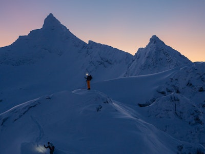
Canada, specifically the Resorts of the Canadian Rockies and Banff-Lake Louise-Sunshine, has had a stupendous beginning to the season. Lake Louise has already opened the back bowls of the resort. It’s looking good for a strong season up there—Kicking Horse has received over 100 inches of snow so far this season, and is opening early this weekend. This week, Coastal British Columbia will remain mostly dry, while farther east, Fernie and Kimberley are expecting five to nine inches of snow on Tuesday night. In Alberta, the Banff region can expect one to four inches of snow on Tuesday evening, with a dry end of the week.
Related: Find your next adventure at freeskier.com/travel
![[GIVEAWAY] Win a Head-to-Toe Ski Setup from IFSA](https://www.datocms-assets.com/163516/1765920344-ifsa.jpg?w=200&h=200&fit=crop)

![[GIVEAWAY] Win a Legendary Ski Trip with Icelantic's Road to the Rocks](https://www.datocms-assets.com/163516/1765233064-r2r26_freeskier_leaderboard1.jpg?auto=format&w=400&h=300&fit=crop&crop=faces,entropy)

![[GIVEAWAY] Win a Head-to-Toe Ski Setup from IFSA](https://www.datocms-assets.com/163516/1765920344-ifsa.jpg?auto=format&w=400&h=300&fit=crop&crop=faces,entropy)