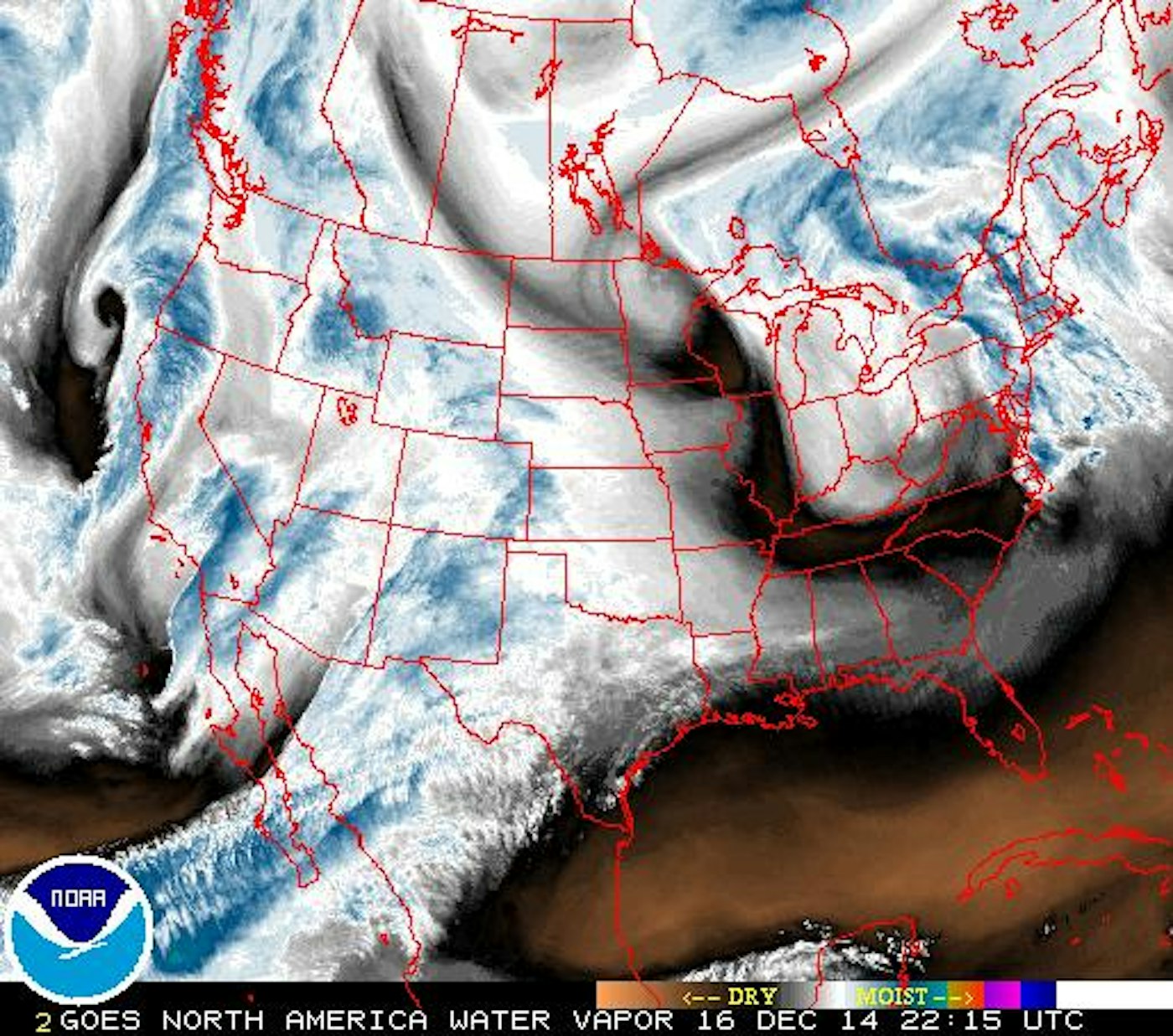
In the past two weeks, California, Utah, Colorado and New England have all received tons of new snowfall, a welcome refresh for many parts. While the accumulations may not be as high this week, there’s still plenty of chances to get after some freshies. However, OpenSnow’s Joel Gratz is predicting a big pattern shift around Christmas that should bring tons of cold air down into the US. Feliz Navidad!
Colorado
A storm will move into the Centennial State on Wednesday and will hang out until Friday. Winds will be blowing in from the southwest on Wednesday, which should favor the San Juan range. Ski areas like Wolf Creek and Telluride can expect two to five inches of snow through Thursday, with Silverton maybe picking up a bit more in that timeframe. Most other areas in the state should expect one to two inches as well. In his Colorado Daily Snow column, Gratz states that there will be a lot of moisture associated with this storm, which could end up dropping more snow than forecasted… fingers crossed. This weekend will be mostly dry, but the colder air will move in next week, which could result in the flakes flying.
The Sierra Nevada
More snow is set to move into California this week. There will be lingering showers on Tuesday, with another storm moving in on Wednesday. Tahoe resorts like Squaw Valley, Alpine Meadows, Kirkwood, Homewood and Sugar Bowl are all looking for one to three inches on Wednesday, while Bear Mountain and Snow Summit, to the south, could see three to seven inches of accumulation. Next week should be dry, with a pattern shift occurring closer to the New Year.
The Pacific Northwest
The PNW has suffered from an unusually slow start to winter this year. They’ll get some help this week, however. According to OpenSnow’s Larry Schick, a system will move into the Northwest at the end of the week, with snow at 4,000 feet. It should bring snow from Mt. Bachelor all the way to Whistler Blackcomb (British Columbia). Beginning Thursday night into Friday evening, Mt. Hood Meadows and Timberline Lodge can expect three to seven inches of snow, Mt. Baker is looking at seven to 15 inches of the white stuff and Stevens Pass and Crystal Mountain are hoping for three to eight, with some additional accumulation on Saturday night.

Utah
Most of Utah will be dry this week, but the southern mountains have a shot at some real accumulation on Wednesday. Brian Head Resort is looking at four to nine inches from Tuesday evening into Wednesday evening, while Eagle Point should see one to six inches.
The Northern Rockies
Northern Rocky Mountain states have a couple shots at some dustings this week, but no heavy snowfall is expected. Chances for snow in Idaho will be strongest on Friday, with Schweitzer and Silver Mountain expecting one to four inches. In Montana, the biggest winners look to be Whitefish and Turner Mountain, who have chances at some accumulation from Wednesday night into Saturday night. After a nice refresh on Tuesday night, Jackson Hole and Grand Targhee, in Wyoming, are looking at one to six inches from Wednesday into Saturday.
The Northeast
A midweek storm should bring some snow to Vermont and Maine. Vermont resorts to the north should expect the best results, as Jay Peak, Stowe and Smugglers’ Notch are all projected to have two to four inches of fresh white gold blanketed upon their slopes by Thursday morning. Two to four inches of snow is expected at Sugarloaf and Saddleback in Maine during that timeframe as well.


![[GIVEAWAY] Win a Head-to-Toe Ski Setup from IFSA](https://www.datocms-assets.com/163516/1765920344-ifsa.jpg?w=200&h=200&fit=crop)
![[GIVEAWAY] Win a Legendary Ski Trip with Icelantic's Road to the Rocks](https://www.datocms-assets.com/163516/1765233064-r2r26_freeskier_leaderboard1.jpg?auto=format&w=400&h=300&fit=crop&crop=faces,entropy)

![[GIVEAWAY] Win a Head-to-Toe Ski Setup from IFSA](https://www.datocms-assets.com/163516/1765920344-ifsa.jpg?auto=format&w=400&h=300&fit=crop&crop=faces,entropy)
