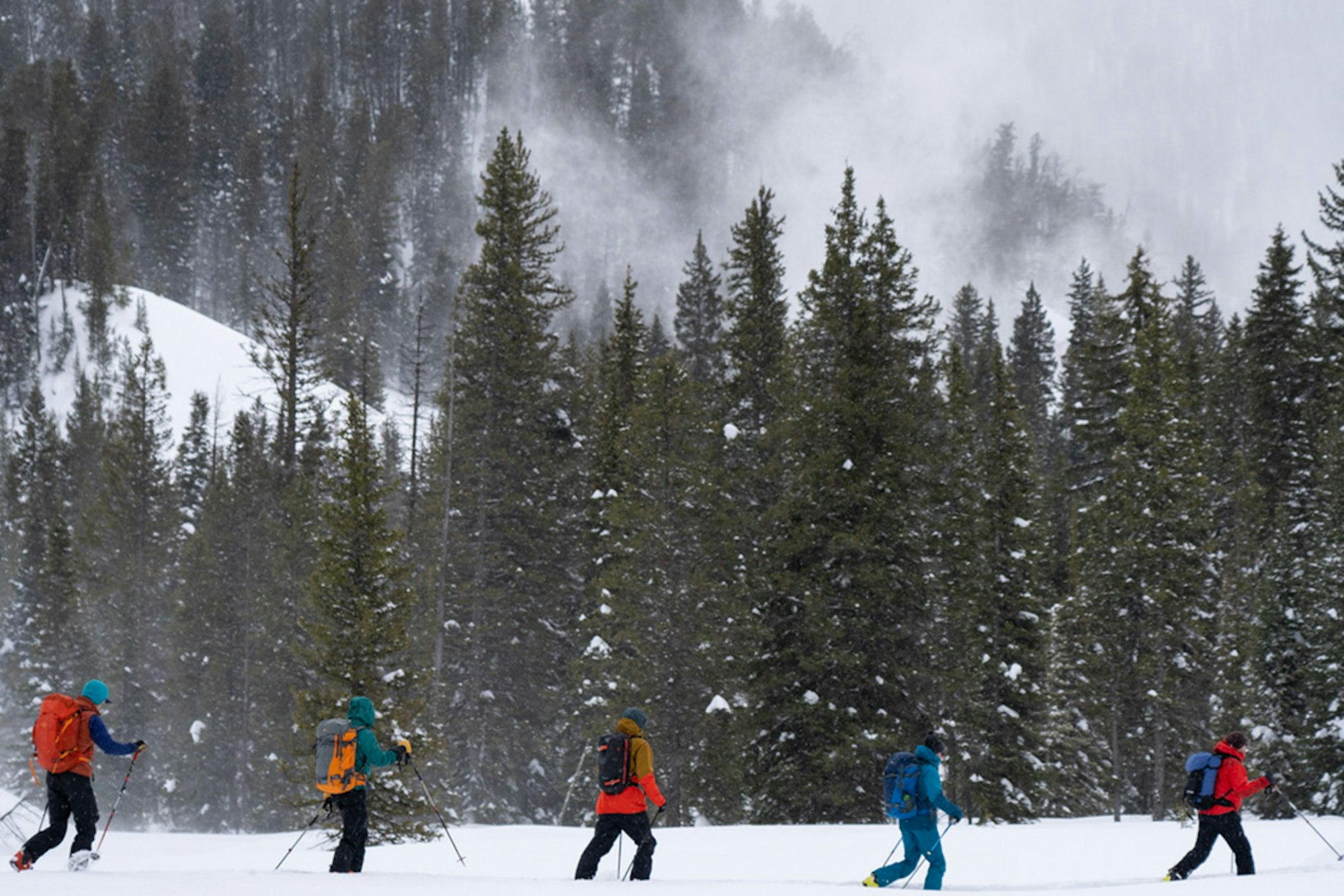
It’s not easy to successfully on-site a ski tour in a new mountain range. Here are some tips and tricks to make it a little easier.
WORDS • LILY KRASS | HEADER IMAGE • LESLIE HITTMEIER / ARC’TERYX
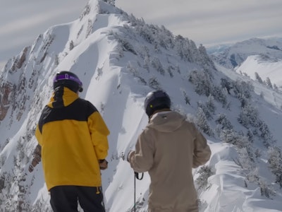
Exploring the expansiveness of a new mountain range is exciting. Finding out what’s behind each ridge, hunting for hidden couloirs and searching for sheltered powder stashes is an almost addictive endeavor. While it’s incredibly rewarding to knock out a big ski tour with your friends, rolling into an unfamiliar zone with only a few days to get your bearings is tough and often leads to hours lost to confusing route-finding and indecisiveness. Nailing it isn’t easy.
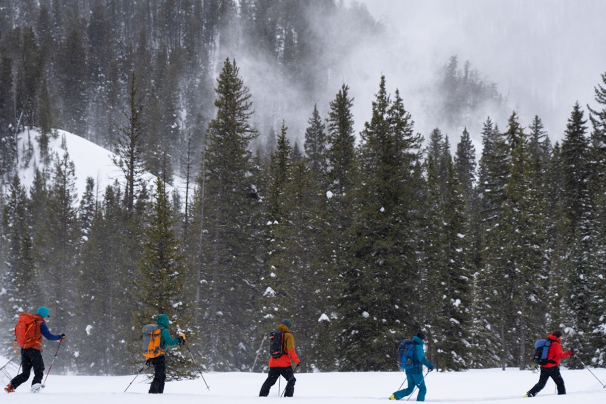
At this year’s Arc’teryx Backcountry Academy, Exum guide Jeff Dobronyi took us through his process of navigating a new zone. With snow in the forecast and the itch to get after some new terrain, our team met in the evening to work through a few hours of trip planning before heading out into the Tetons during a record-breaking storm cycle (which seriously disrupted our line of choice, but proved to be a valuable lesson in creating a backup plan).
Get your bearings
When heading out on a trip, most of us have a vague idea of where we want to ski. It could be from a quick Google search, a perusal of Powder Project or might just be an Instagram photo of some athlete or friend skiing a cool line (no shame, we’ve all made ski trip decisions based on Instagram at least a few times).
Step one is to get oriented on Google Earth Pro (be sure to download the Pro version for the best resolution). It’s the closest you can get to being in the mountains from the comfort of your couch, and the desktop app lets you fly around to scope different zones to put together a pretty realistic view of what you’ll encounter in real life. I found it to be really helpful to visualize what the skiing will actually be like since it includes tree coverage and some rocky features that you won’t find on a traditional topo map.
Make a plan
Once we spotted our line on Google Earth, Dobronyi showed us how to use CalTopo to build a route. CalTopo let us customize the map, choosing different overlays like slope angle shading to help avoid avalanche terrain or adding relief shading to help identify ridges and peaks. You can draw a line right on the map to mark your route, then export it to Gaia, a navigation app you can use from a phone in the field. The Gaia app also lets you filter in public tracks, which can be helpful to see where the uptrack usually is set. Avenza is also a useful mapping/navigation app to download.
The route we were planning was a tight 2,800-foot couloir on the south side of a peak in Grand Teton National Park—an aesthetic line that would definitely provide great skiing—but given the forecasted three-foot storm that had already started to bury town, we’d need to map out a safe Plan B.
Having a Plan B and C that aren’t just descending the skintrack is important—no one wants to turn around feeling like they gave up—so Dobronyi showed us how to use the satellite and topo maps in conjunction to find open, fall-line tree runs that would deliver safe, playful powder skiing. Not a bad fall back.
Tech in the field
We woke up the next morning to 20 inches of fresh snow that had come in with strong southwesterly winds. Not ideal for the steep, consequential couloir we had selected. Tree skiing it would be.
Even with the skintrack completely buried, we were able to stick to our route with the help of our Gaia route. I always find it’s helpful to use the record feature on Gaia to keep track of where I’ve been as well as recording the tour for future use. We also quickly learned that while navigating in the field, it’s important to keep your phone in airplane mode and in a warm spot close to your body so the cold doesn’t zap the battery life. Make sure to keep it far away from your beacon, though, to ensure it doesn’t interfere with the signal.
Navigation has come a long way in the last 20 years, and the tools are there for even the most novice skiers to find their way through complex terrain. All it takes is patience and a little practice. Plus, reaping the reward of solid route-finding in the form of blower pow turns is usually enough of a nudge to keep us coming back for more.

![[GIVEAWAY] Win a YoColorado X Coors Banquet & Liberty Skis Prize Package](https://www.datocms-assets.com/163516/1769630228-pastedgraphic-3.png?w=200&h=200&fit=crop)
