

INTERIOR BRITISH COLUMBIA
WORDS & PHOTOS • PHIL KRENING
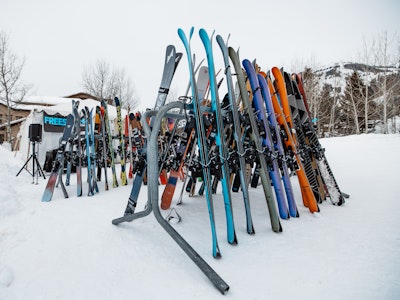
If you spend even a fraction of the time looking at maps of western North America as I do, fixating on the basins and ranges that define it, you may have noticed that the westernmost Canadian province is made up—almost entirely—by mountains. The scale of it borders on incomprehensible. Those of us from the lower forty-eight are used to parsing our understanding of montane geography into nice, neat, well-defined ranges—the Wasatch, the Tetons, the Sierras. What lies north of our border quickly defies the scale we’re used to thinking in. After some quick math—British Columbia is larger than the U.S. states of California, Oregon and Washington combined. And the vast majority of the province is mountainous, receiving copious quantities of snow. Which, if you’re a skier, adds up to one thing—Shangri-La. Over close to two weeks, three of us made an overland loop through the southern interior of the province to better acquaint ourselves with the geography, and sample the legendary snowpack. Benefiting from customary Canadian hospitality and local advice, what we found were plentiful pillows, steep couloirs and more snow than we could imagine or ski, for that matter. We also learned that, while the mountains are seemingly endless in every direction, they are in fact delineated into discreet ranges—each one subtly different from its neighbor.
See more at philkreningphoto.com.
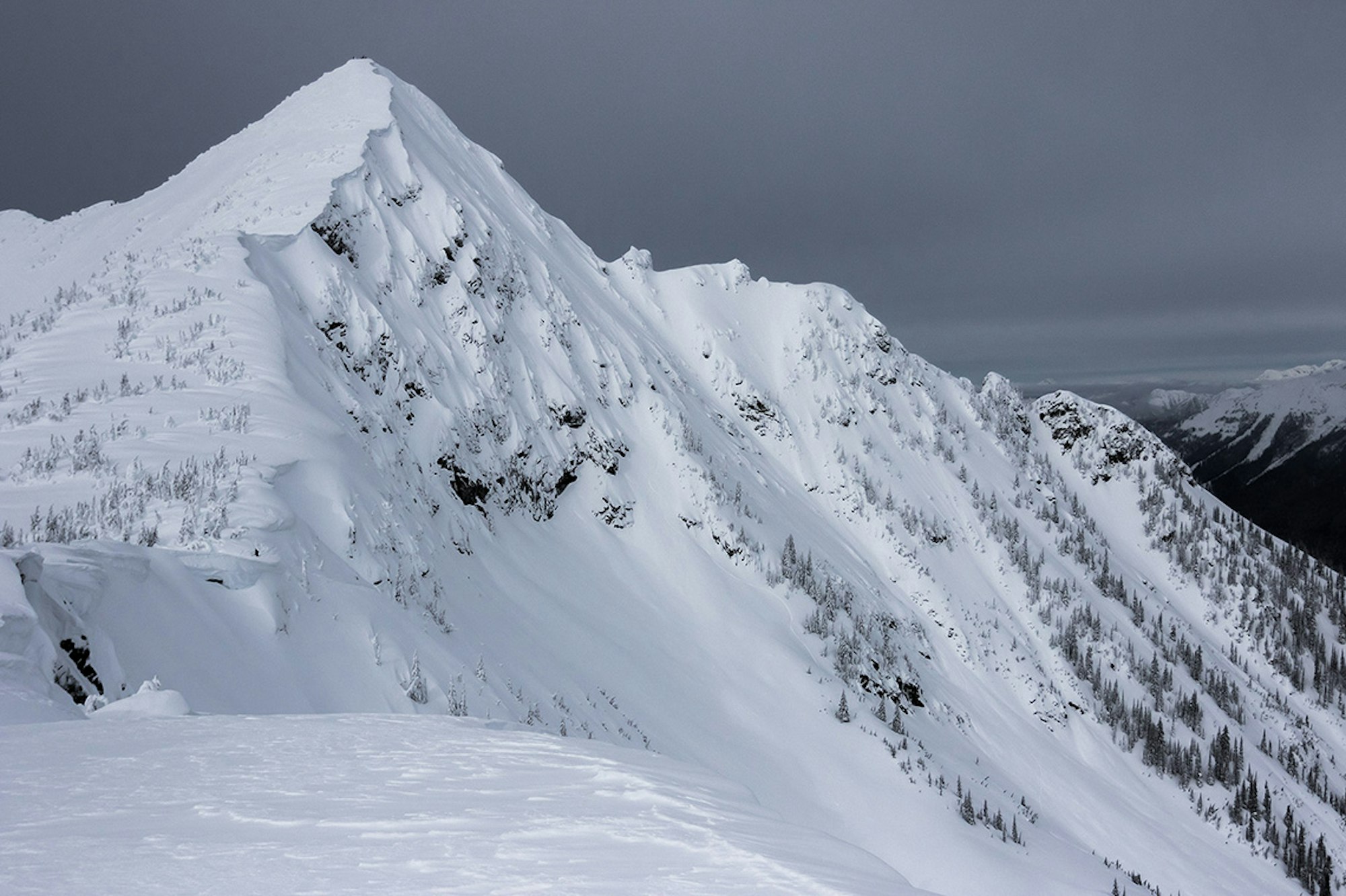
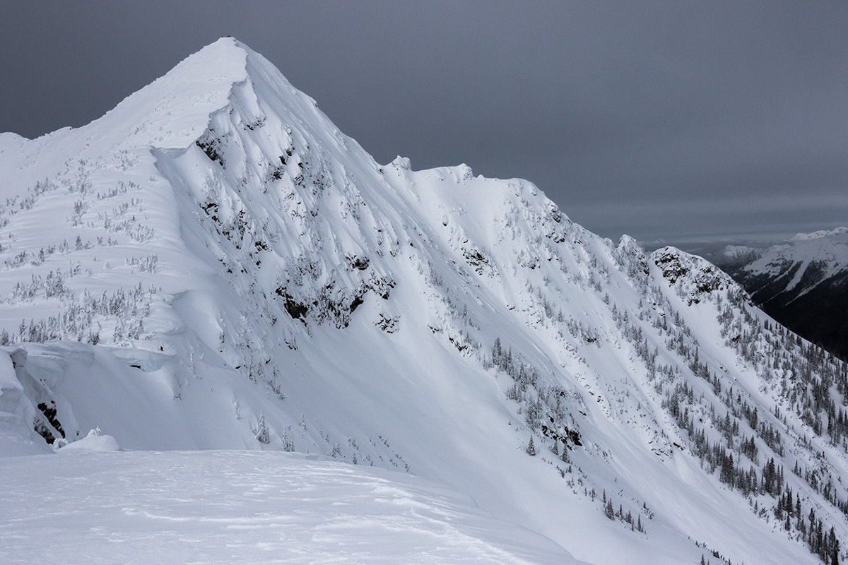
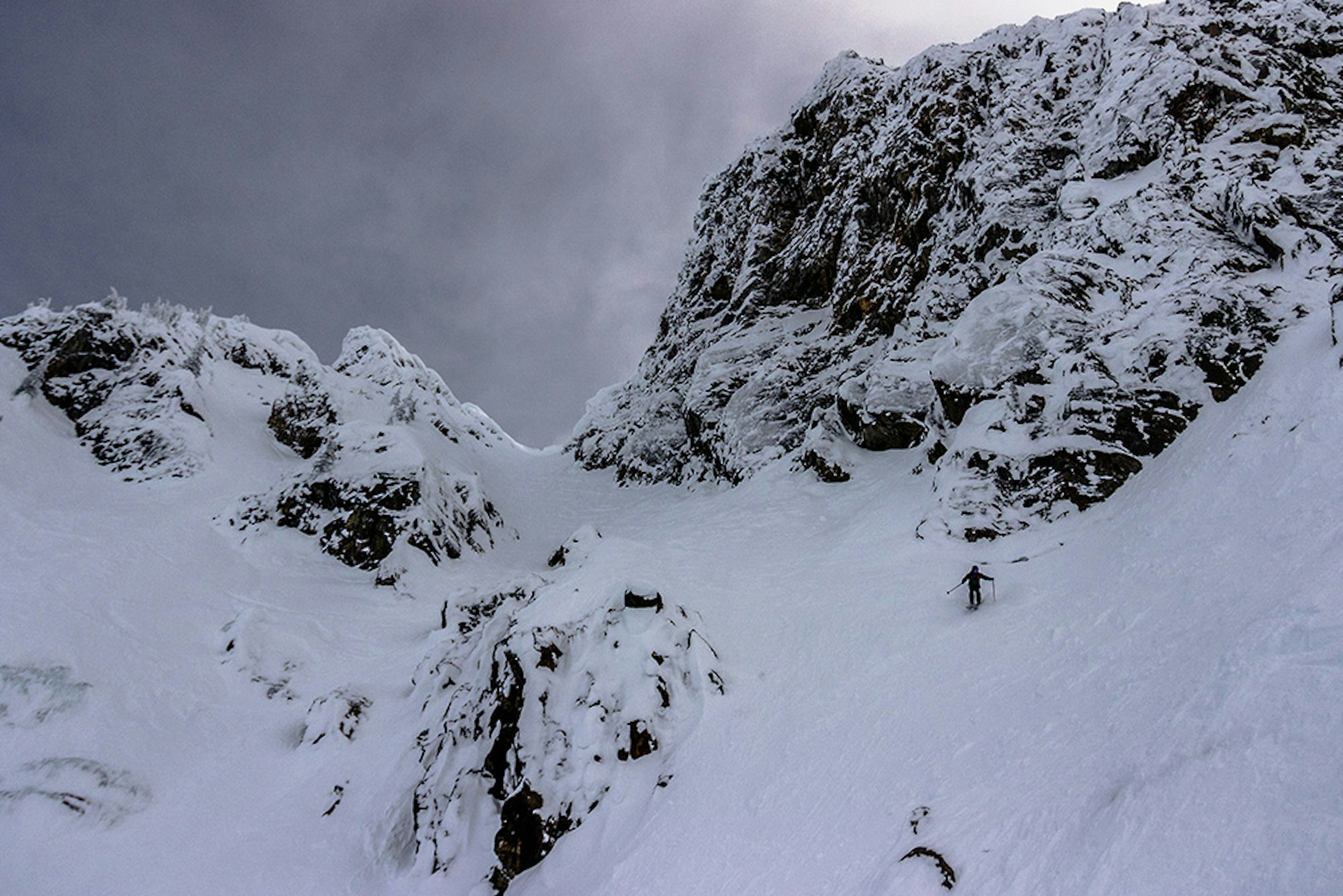
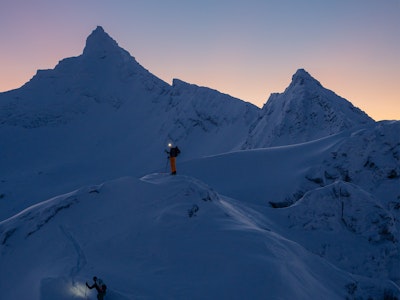
Gazing up Cheops Mountain.
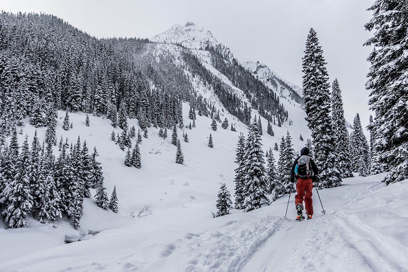
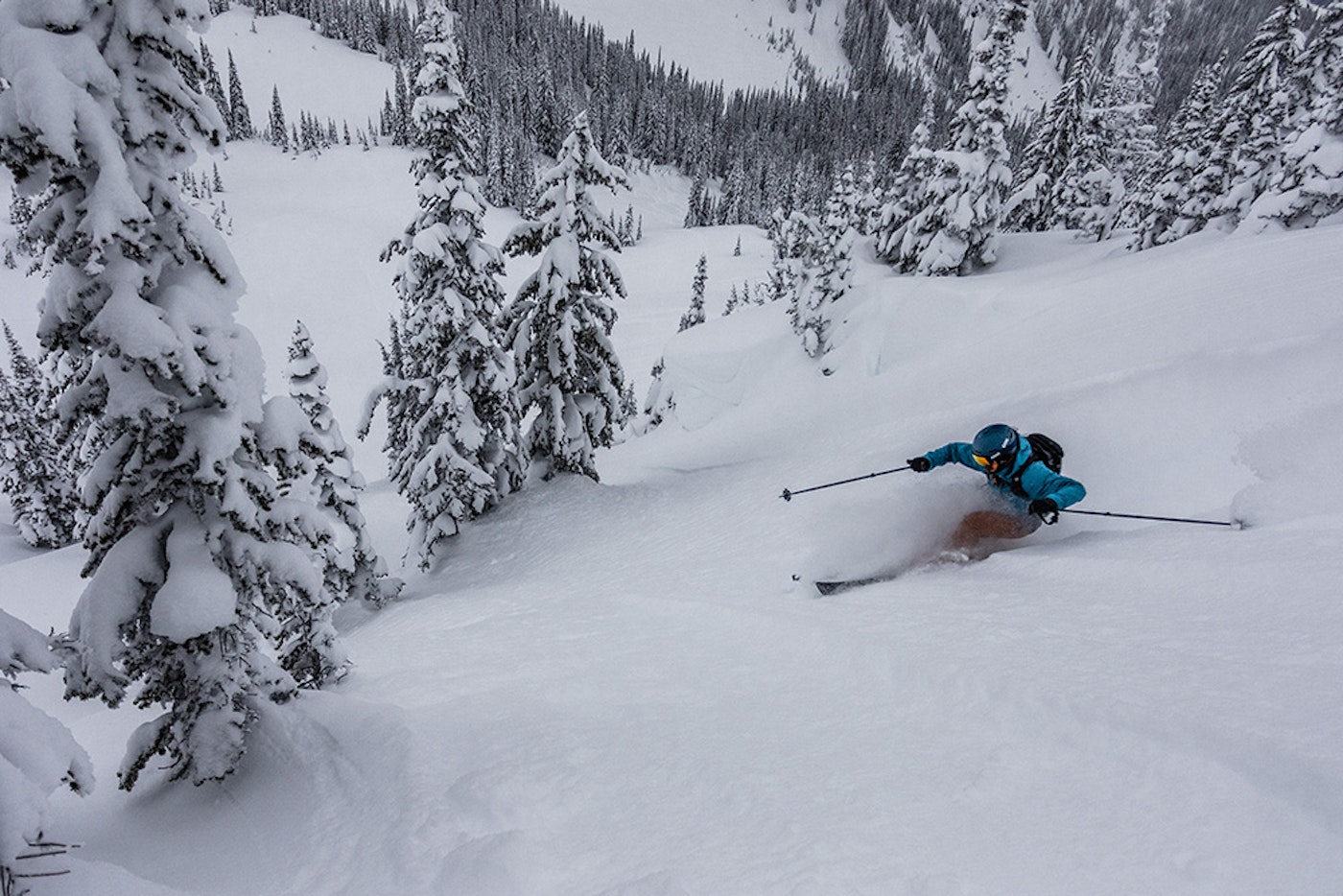
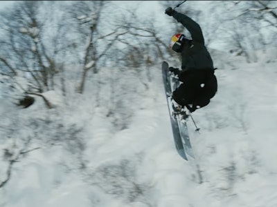
SKIER: Chris Manning | LOCATION: Glacier National Park, Canada
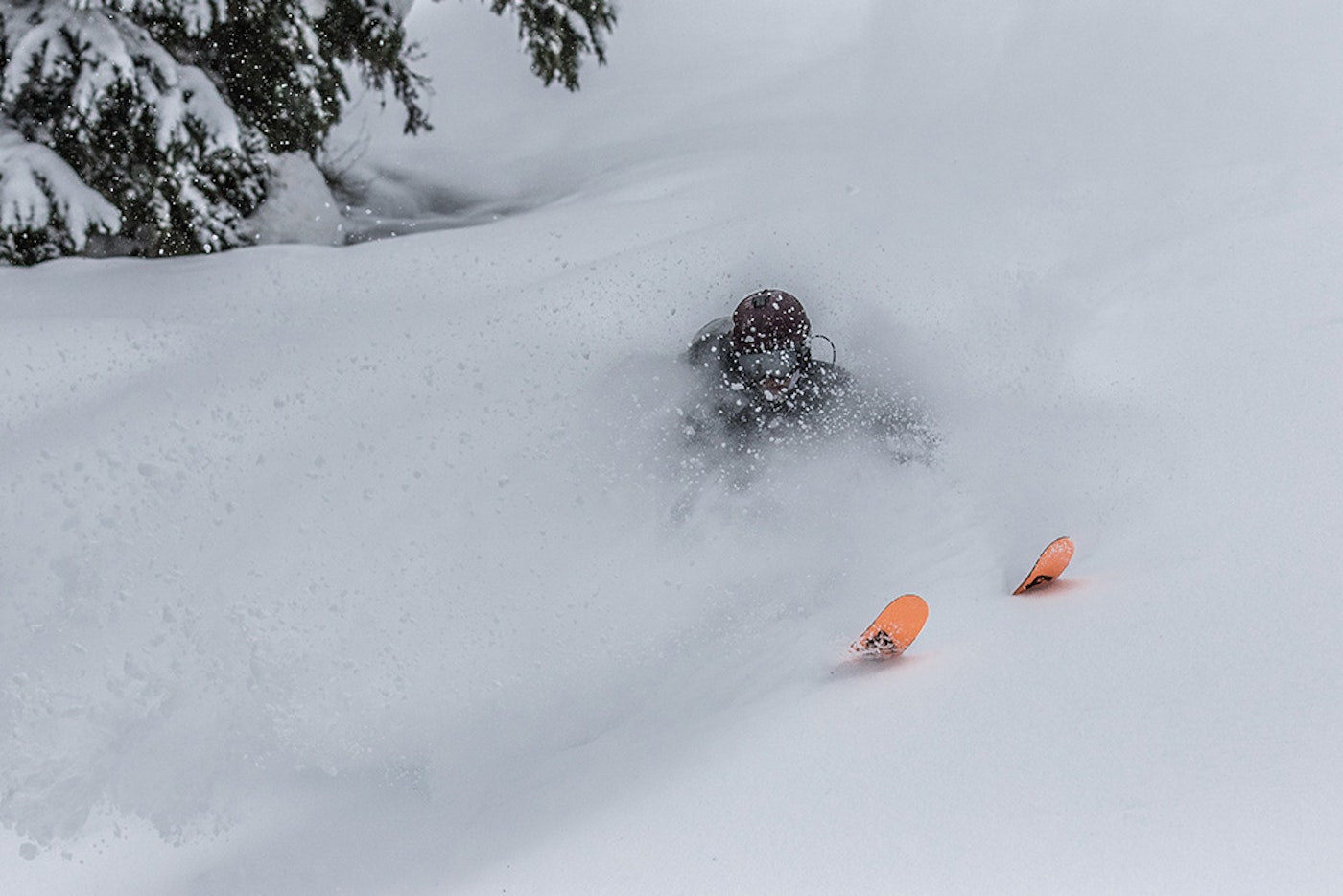
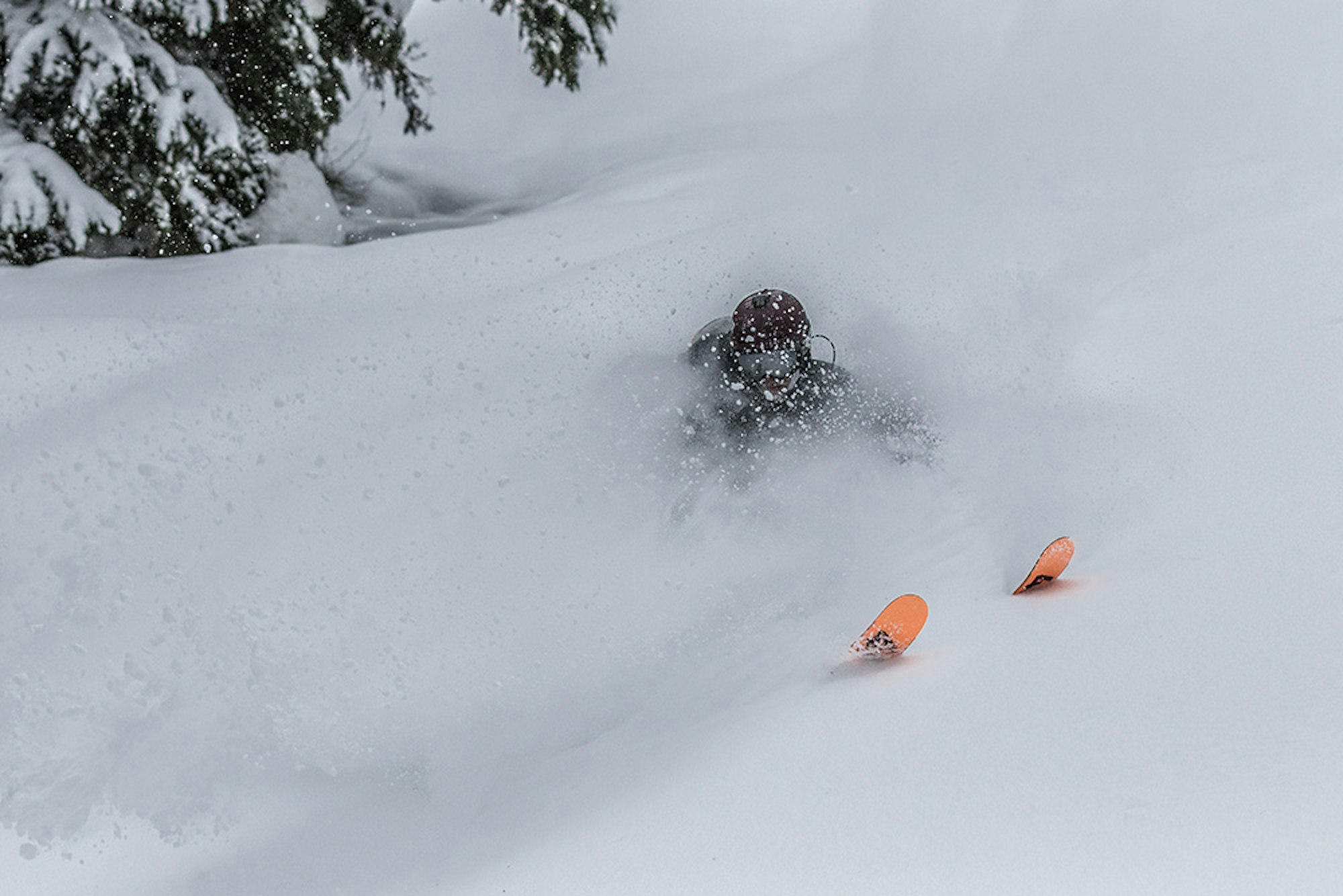
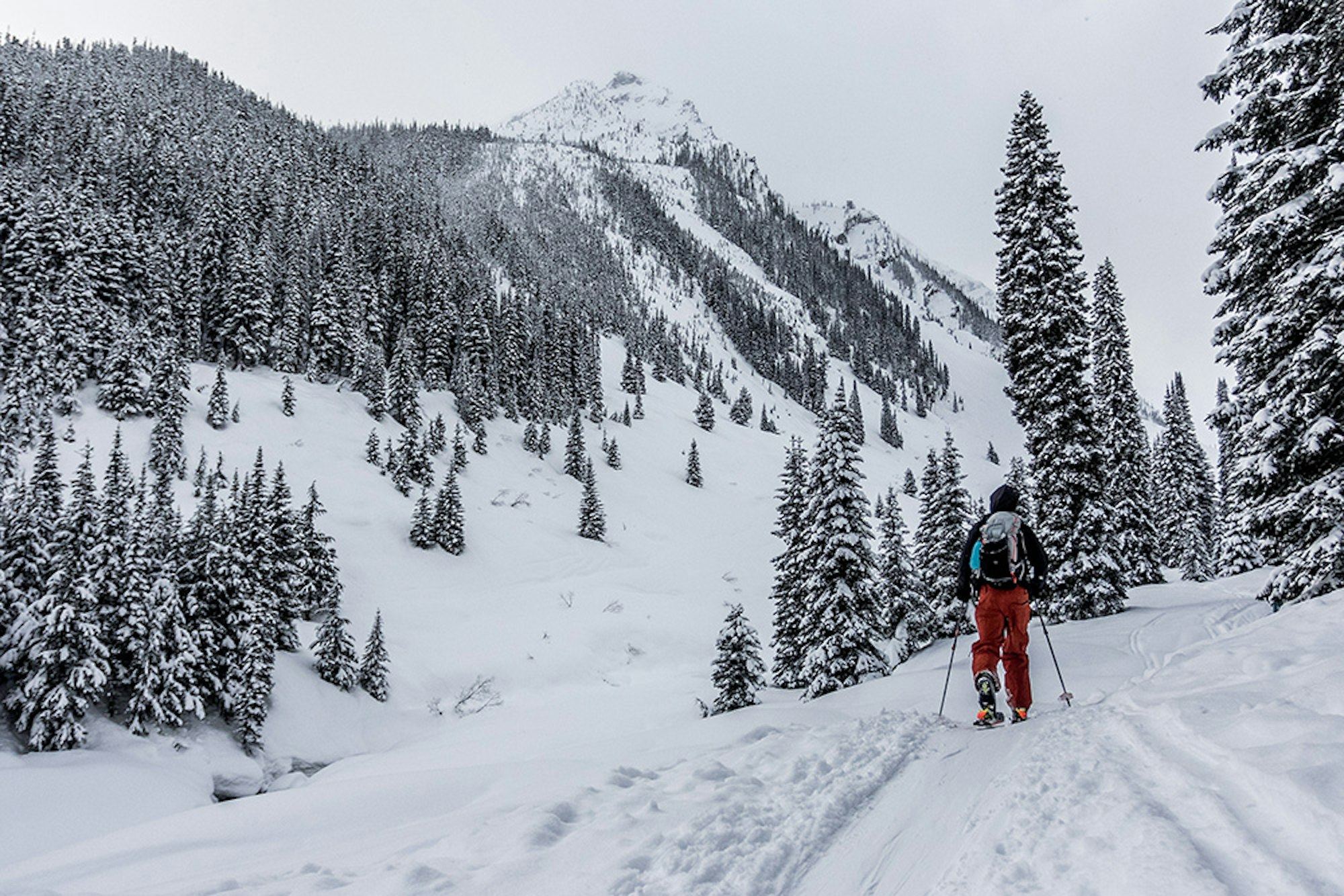
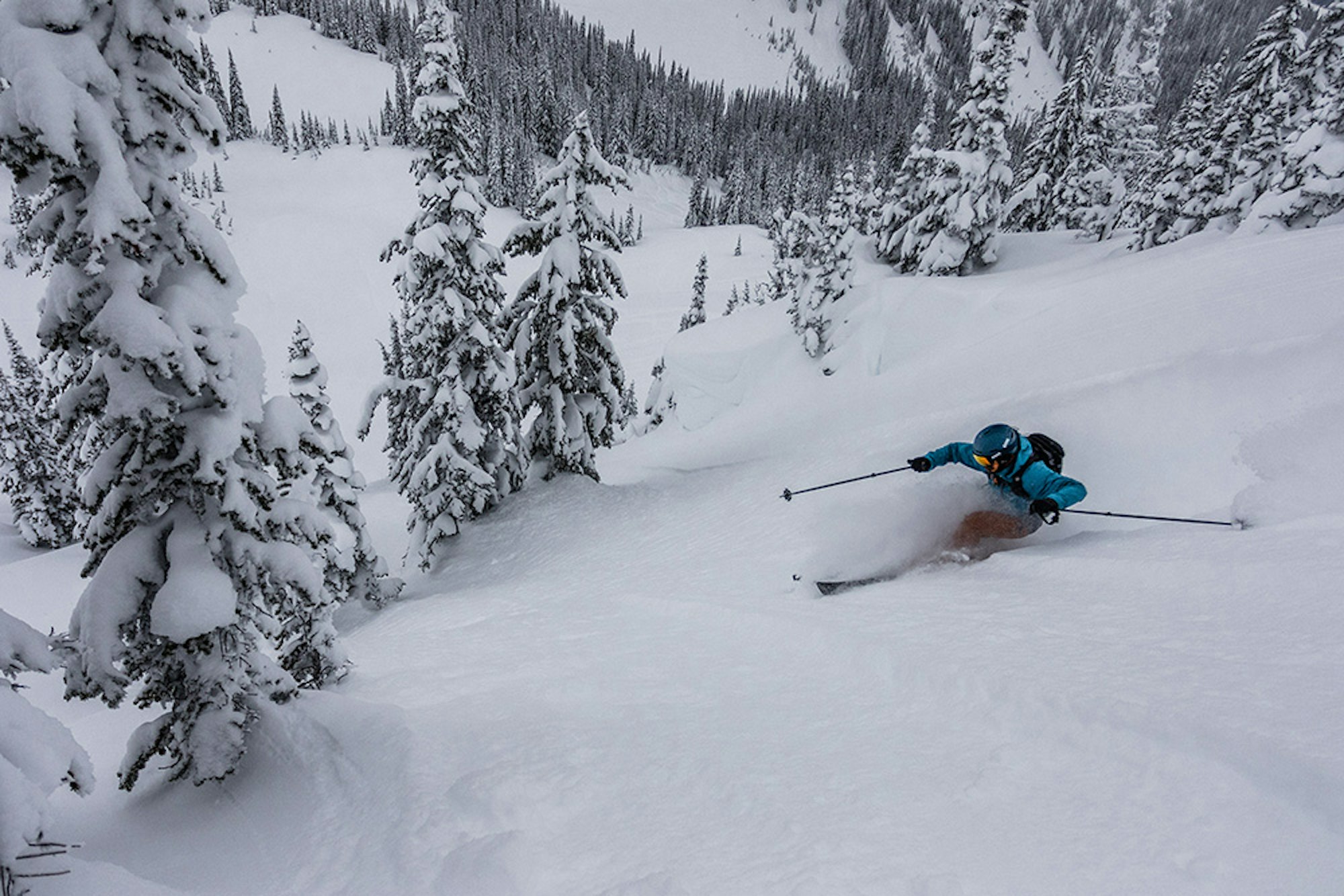
SKIER: Donny O’Neill | LOCATION: Glacier National Park, Canada
SKIER: Donny O’Neill | Location: Glacier National Park, Canada
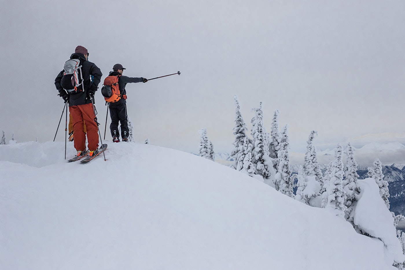
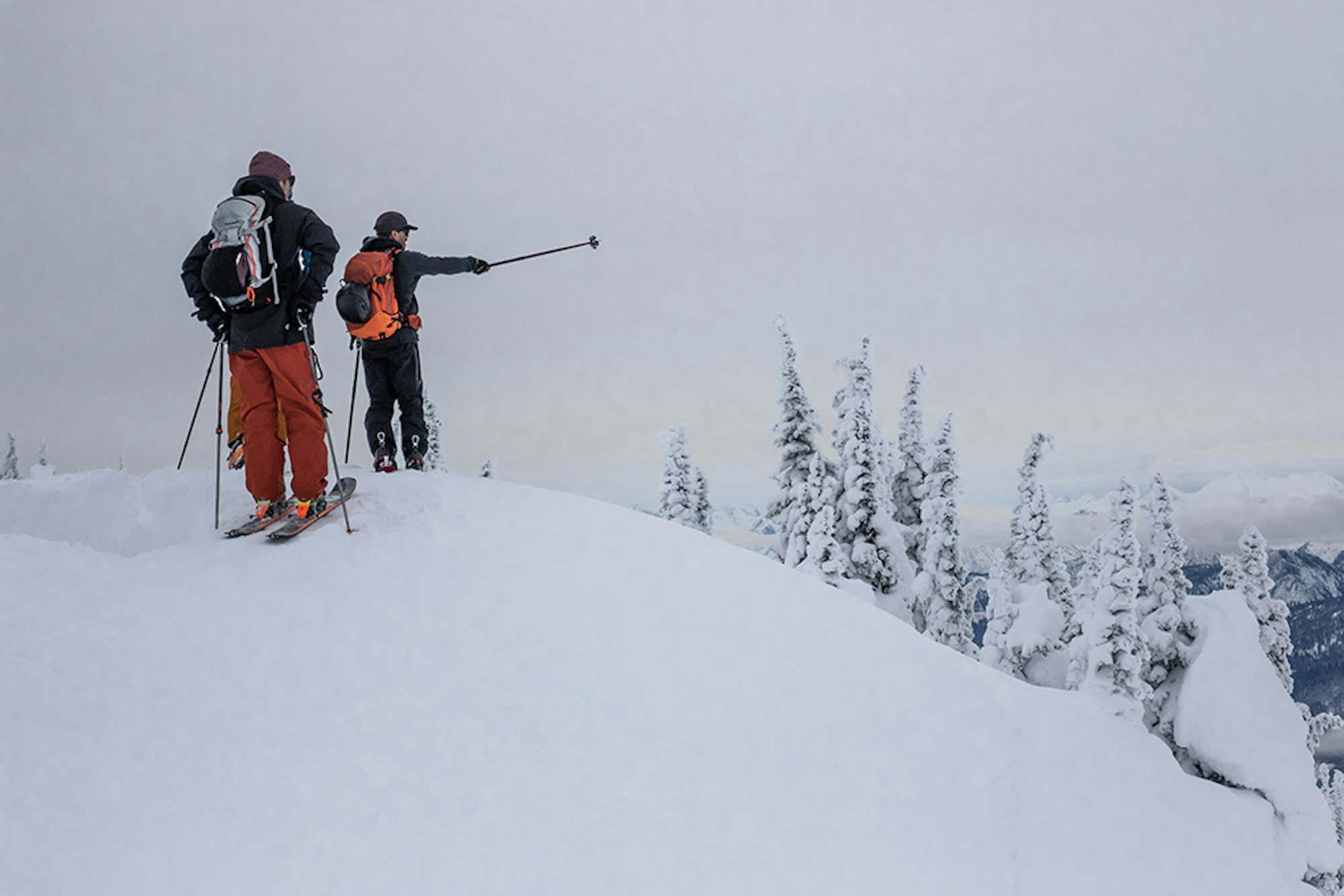
Matt Coté points out the peaks that make up the Revelstoke, BC, skyline.
SKIER: Matt Coté | Location: Revelstoke, BC
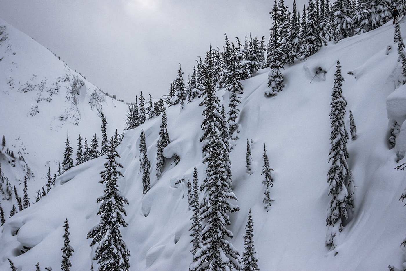
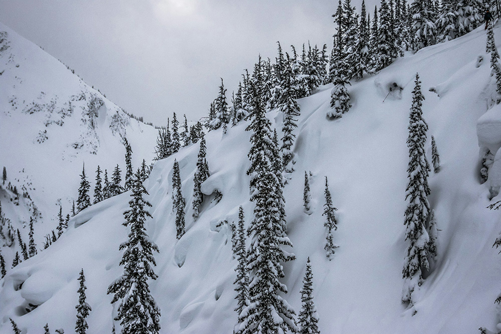
SKIER: Chris Manning | LOCATION: Revelstoke, BC

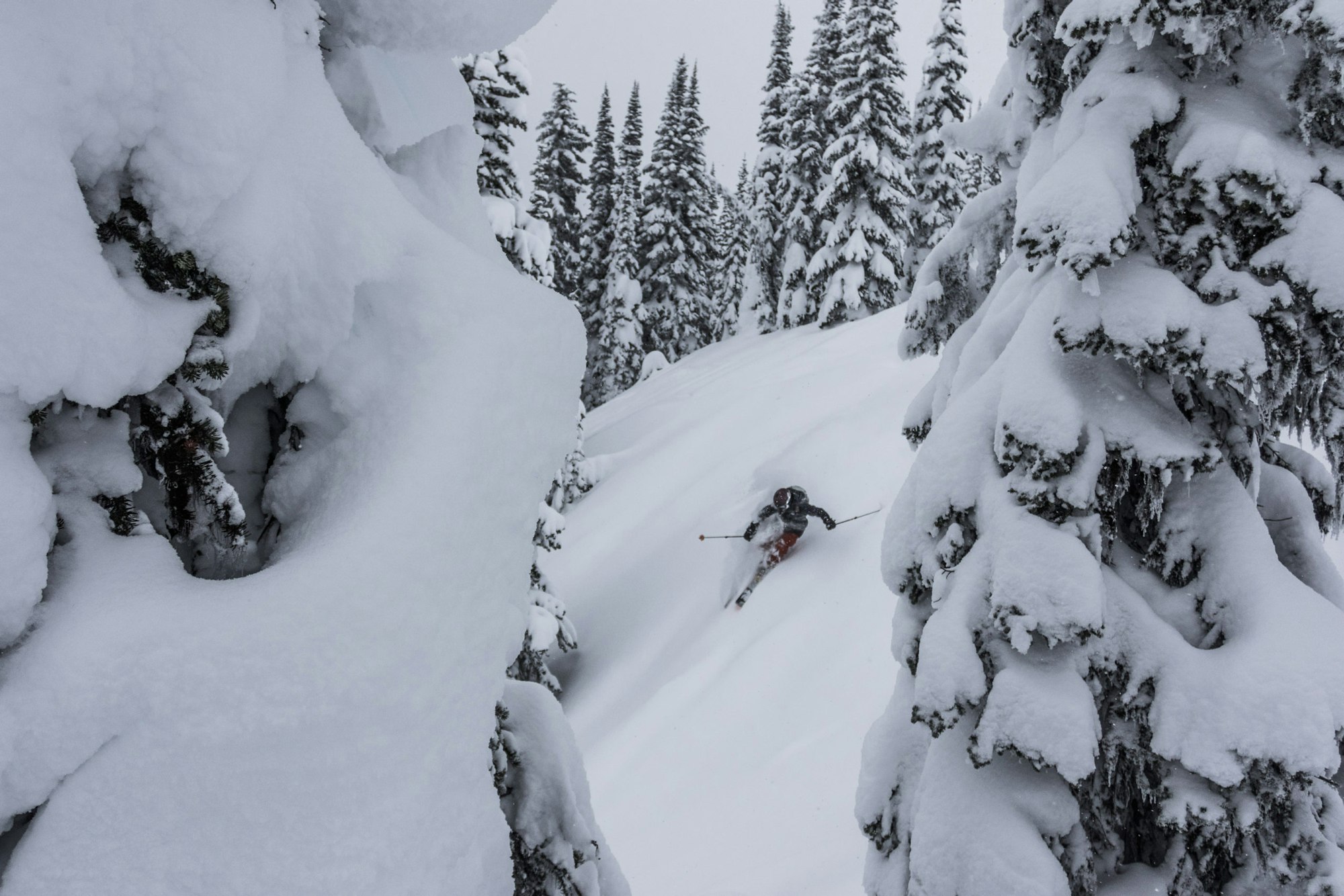
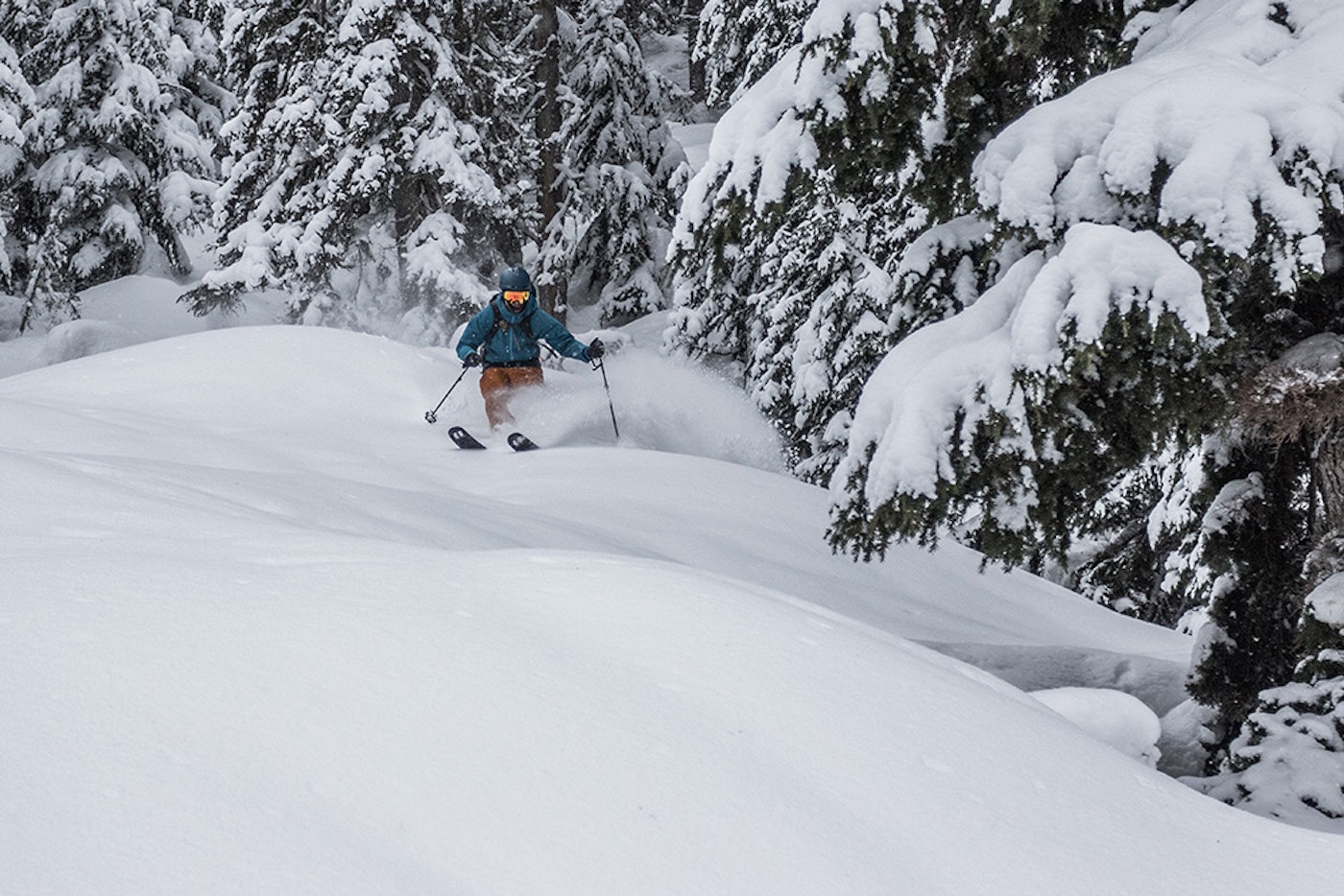
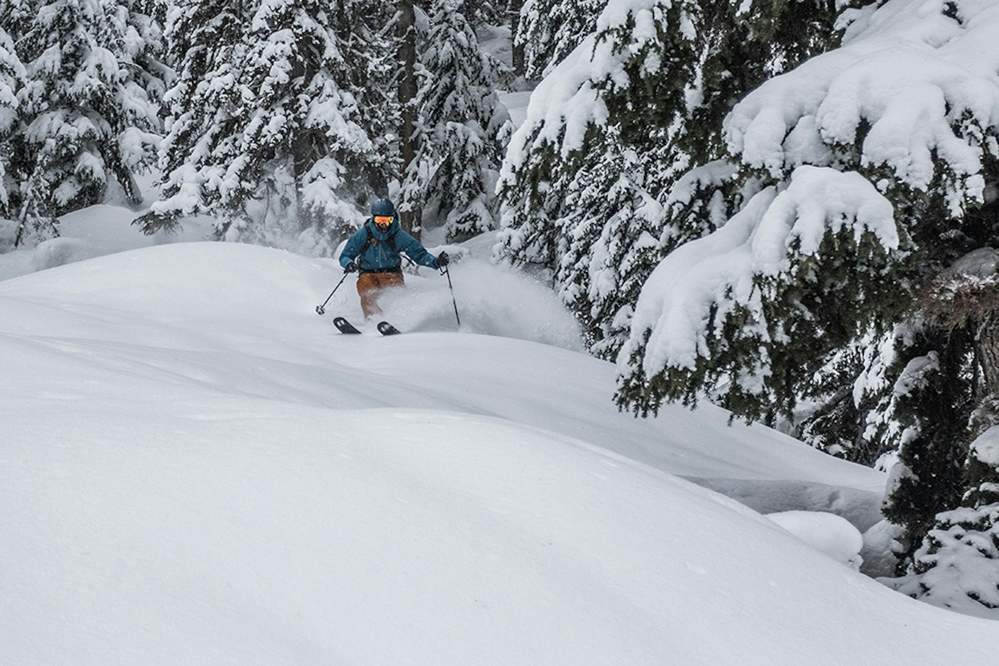
SKIER: Donny O’Neill | Location: Revelstoke, BC
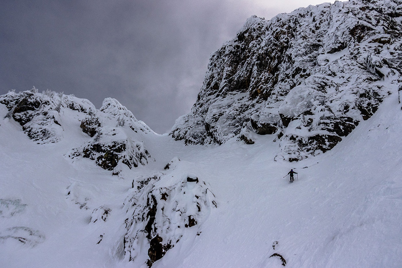
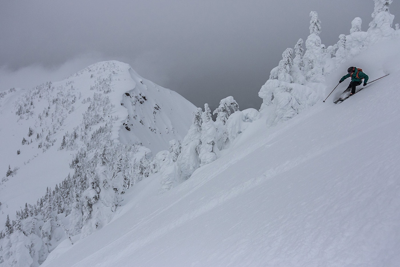
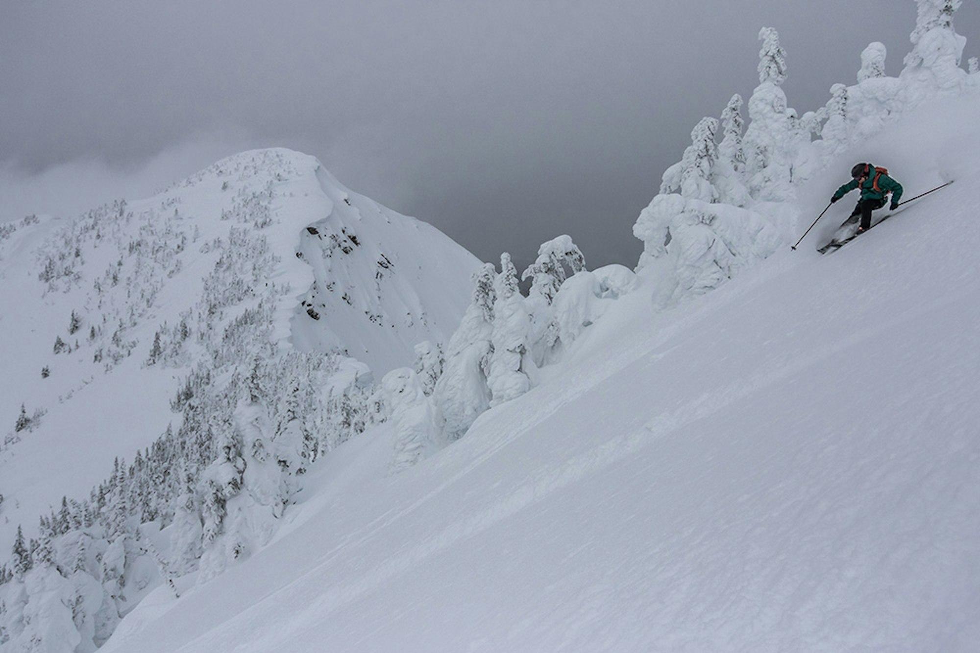
Matt Coté makes his way down Mount MacKenzie’s Brown Shorts couloir.
![[GIVEAWAY] Win a Head-to-Toe Ski Setup from IFSA](https://www.datocms-assets.com/163516/1765920344-ifsa.jpg?w=200&h=200&fit=crop)
![[GIVEAWAY] Win a Legendary Ski Trip with Icelantic's Road to the Rocks](https://www.datocms-assets.com/163516/1765233064-r2r26_freeskier_leaderboard1.jpg?auto=format&w=400&h=300&fit=crop&crop=faces,entropy)

![[GIVEAWAY] Win a Head-to-Toe Ski Setup from IFSA](https://www.datocms-assets.com/163516/1765920344-ifsa.jpg?auto=format&w=400&h=300&fit=crop&crop=faces,entropy)