WORDS — Drew Tabke
It’s a rare bluebird day and the air is crisp and clear as we unload from the fixed-grip double chairlift. This is the top of High Campbell at Crystal Mountain and, at 7,002’, it’s the highest lift-served point in Washington State. To the southwest is an overwhelming view of Mount Rainier, the most heavily glaciated and most topographically prominent mountain in the Lower 48. The crevasses and seracs of the glaciers are as sharply visible as if they were ten feet away instead of ten miles, hinting at the volcano’s unbelievably massive scale. Despite having seen the same view thousands of times, we can’t resist staring at it for several seconds before buckling our boots and heading down the ridge towards The King.
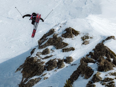
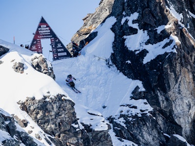
Rearing up like a shark fin near the southern end of Crystal’s 2,600 acres of terrain, The King (short for Silver King) is the resort’s premier, experts-only zone. Its iconic north side, a maze of steep chutes and cliff bands, plays host to an annual Freeride World Qualifier event. Still more terrain hides on the back of the peak. What it lacks in scale, it makes up for in variety, with lines that change with each weather system dropping down every side of the peak, and an access hike long enough to ensure fresh lines for days.
It makes very little difference what route you take to get there—the deeply-rutted moguls under the top of the lift or the rock-strewn backside of the ridge—everyone seems to get to the start of the bootpack at about the same time. The decision here is whether to ditch a layer and maybe switch from goggles to sunnies. Since we’re going all the way to the top of The King, I do both. We shoulder our skis to start hiking and in five minutes reach the gate to Southback. We click back into our skis and slide through the gate, officially leaving the resort boundary.
We traverse around the back of the Throne, the smaller sibling of The King that separates Campbell Basin from Southback. Temporarily entering Mount Rainier National Park, the indomitable, ice-clad volcano looks even bigger than before. The traverse continues past sparsely-treed lanes of perfect snow that drop away from the resort and into the National Park, tempting us to drop in. But with major avalanche paths, nearly 4,000’ of thick forest and several miles of closed highway guarding the return to civilization, that could be a big mistake. So we push on.
The traverse turns to a sidestep, and we soon regain the ridge. Now that we’re past the dividing barrier of The Throne, we can finally look directly up at The King. Untracked, albeit short, lines drop into threateningly-named Avalanche Basin here; low-hanging fruit that might well be worth returning to later. But we’re going to the top.
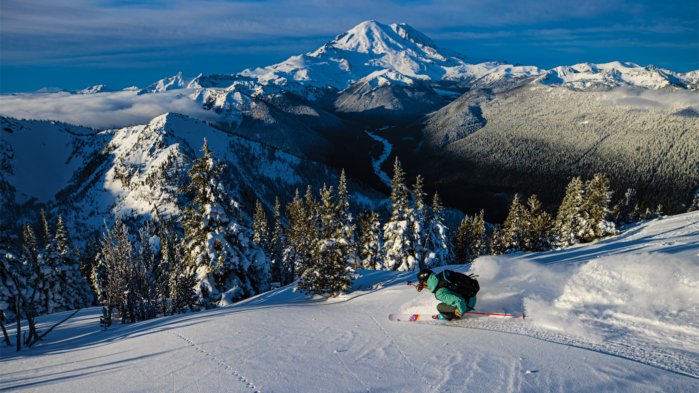
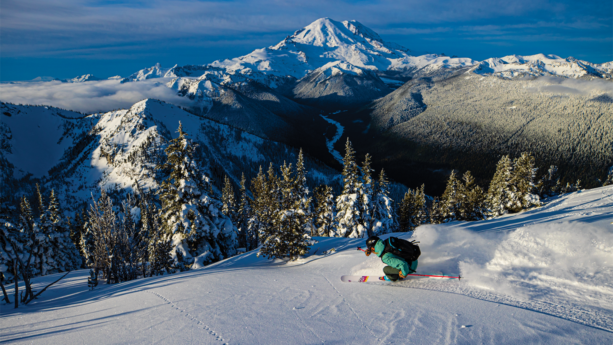
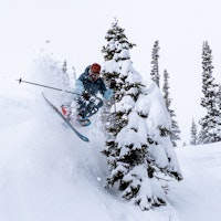
SKIER: Sophia Rouches
PHOTO: Grant Gunderson
LOCATION: Crystal Mountain, WA
Some more sidestepping, a herringbone or two and we finally click out of our skis at the start of the final bootpack up The King’s northwest ridge. A couple of familiar old-timers keep their skis on, continuing the sidestep-traverse-sidestep routine that will take them beyond The King and to the gentle, powdery slopes of Silver Basin. We start the hike, and after ten more minutes of left foot-right foot, we’re on the summit.
Remarkable vistas await in all directions. Mount Rainier remains the dominant presence, but Cascadian volcanoes Mount St. Helens and Mount Adams are now also visible to the south. To the northwest, the Puget Sound and its surrounding urban centers, punctuated by the skyscrapers of Seattle, dot the hazy lowlands. In the northeast, the serrated form of Mount Stuart, the second-highest non-volcanic peak in Washington, slashes at the horizon. And 150 miles to the north, the mystical, perennially snow-covered volcanic cone of Mount Baker marks the limit of the Cascades.
But those mountains will have to wait, and we pull our focus back to the job at hand. We transform ourselves back into downhill mode and get ready to drop in. Options abound from the top, from casual sheltered glades to burly, high-consequence steeps. Our preference falls somewhere in between, and we depart from the summit heading towards Hourglass.
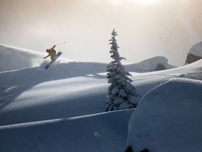
I pick a line with a combination of surfy turns and natural wind lip airs. My buddy has a line of his own picked out just down the ridge. The features connect just like I envisioned, and my line flies by in a blur of powder slashes and slow-motion airtime. As I come flying out onto the apron, my friend appears just behind me and we ski together into the lower gladed pitch, hooting with stoke.
We arrive at the bottom by the frozen, snow-covered pond, and as we pole our way across flats I ask an entirely rhetorical question. “One more?”
FREESKIER encourages responsible use of backcountry terrain. Do not leave the resort boundary without avalanche rescue equipment, knowledge of the area and proper avalanche rescue training. If you don’t know, don’t go!

![[GIVEAWAY] Win a 4-Night Karma Campervan Rental and go Ski the Powder Highway](https://www.datocms-assets.com/163516/1767816935-copy-of-dji_0608-1.jpg?w=200&h=200&fit=crop)
![[GIVEAWAY] Win a Legendary Ski Trip to Icelantic's Annual Winter Concert](https://www.datocms-assets.com/163516/1751532112-rttr_feat.jpg?w=200&h=200&fit=crop)
