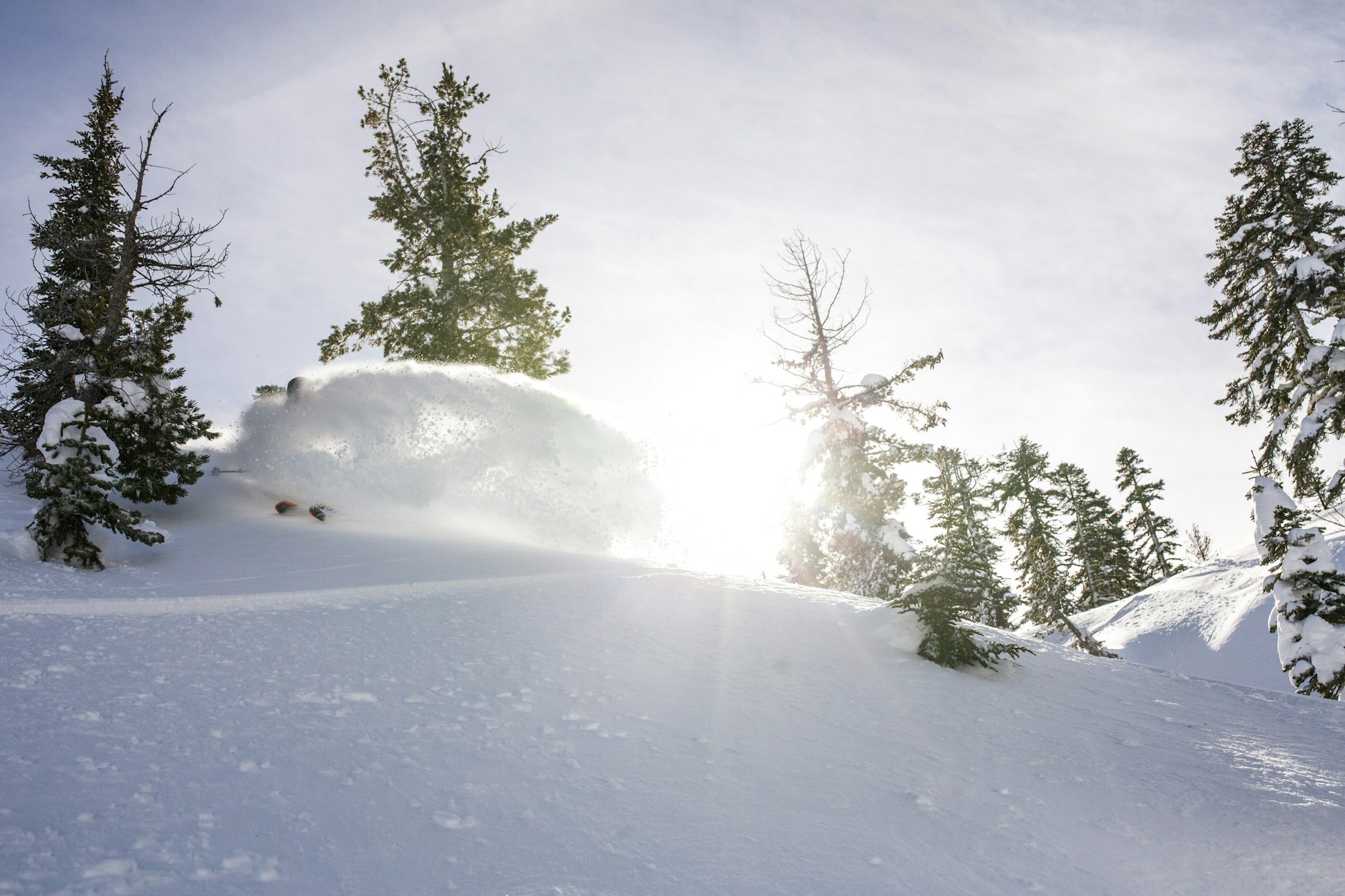

Want to score the best turns of your life this season?
Click here to see FREESKIER’s comprehensive ski resort rankings.
The skiing has been spectacular for most of the country over the past month. That trend will continue this week, as most every state is going to get in on the action.
Please note: All snow total predictions are sourced from OpenSnow.com and reflect the 5 day snow total predictions for this week.
California
A solid storm hit California Tuesday night, producing 6 inches of new snow at Alpine Meadows (111-inch base), 8 inches at Kirkwood (88-inch base), 12 inches at Northstar (96-inch base), 6 inches at Sierra-at-Tahoe (104-inch base) and 9 inches at Squaw Valley (118-inch base). After a lull in active weather on Wednesday and Thursday snow will return Friday during the day producing 30 to 37 inches for Squaw Valley Alpine Meadows, Kirkwood and Sierra-at-Tahoe through Saturday evening. In the eastern Sierra, Mammoth is looking at 5 to 13 inches in that timeframe.
Oregon and Washington
It’s going to be a solid week in the Pacific Northwest. In Oregon, skiers woke up to some monstrous snow totals on Wednesday. Mount Hood Meadows reported 20 inches of snowfall overnight. Snowfall will resume Thursday night, with 4 to 9 inches expected at Mt. Bachelor through Saturday night and 5 to 11 inches in the Mt. Hood area in that same span.
Moderate snowfall is expected throughout the week in Washington, following some solid snow reports Wednesday morning at Crystal Mountain (10 inches), Mt. Baker (12 inches) and Mt. Spokane (12 inches). Beginning Wednesday night and ending Saturday, a storm will move into the state, producing an expected 5 to 12 inches at Mt. Baker, 6 to 16 inches at Stevens Pass and 4 to 10 inches at Crystal Mountain.
Alberta and British Columbia
If there’s one takeaway from this post, it’s that you should get your ass to Whistler Blackcomb…now. A storm will hit the area on Wednesday night producing snow totals in the 22 to 40-inch range by Friday evening. Further inland, more modest totals in the 4 to 8-inch range in that timespan.
Alberta won’t be as lucky, with just 1 to 2 inches expected for Sunshine Village and Lake Louise on Friday.
Colorado, New Mexico and Utah
It’s been damn good in the southern Rockies, and this week should see a nice refresh of snow for Colorado. Four to 8 inches of snow is expected across the state on Wednesday, and snow will return on Sunday, producing another 2 to 6 inches.
In Utah, Alta, Snowbird and Brighton are forecasted to receive 6 to 11 inches of snow Wednesday, ensuring the Wasatch will remain in primo condition this week. Another milder storm will hit Saturday night, producing 2 to 5 inches for much of the state.
New Mexico will be mostly dry this week.
Idaho, Montana and Wyoming
One to 3 inches of snow is expected for Idaho resorts like Bogus Basin and Lookout Pass on Wednesday. Another mild storm will move into the state on Friday night, with snow totals in the 2 to 4-inch range through Saturday night.
In Montana, Whitefish is expecting 2 to 4 inches of snow on Wednesday, with another 2 to 5 inches expected on Saturday for the Fish as well as Montana Snowbowl.
Wednesday will produce a nice dump on Wyoming, as Grand Targhee and Jackson Hole are both expecting 4 to 9 inches, with a couple of inches also expected on Saturday.
New England
Wednesday should be a solid powder day for northern Vermont, as Mad River Glen is reporting 8 inches of new snow, Jay Peak 7 inches and Smugglers’ Notch 8 inches. The rest of the week will be dry. New Hampshire and Maine are also going to remain dry. Southern New England will receive some snow, however, as Connecticut resorts like Ski Sundown and Woodbury are expecting 3 to 7 inches on Saturday, and Massachusetts resorts Wachusett and Butternut are looking at 1 to 3 inches.

![[GIVEAWAY] Win a Legendary Ski Trip with Icelantic's Road to the Rocks](https://www.datocms-assets.com/163516/1765233064-r2r26_freeskier_leaderboard1.jpg?w=200&h=200&fit=crop)
![[GIVEAWAY] Win a Head-to-Toe Ski Setup from IFSA](https://www.datocms-assets.com/163516/1765920344-ifsa.jpg?w=200&h=200&fit=crop)


![[GIVEAWAY] Win a Legendary Ski Trip with Icelantic's Road to the Rocks](https://www.datocms-assets.com/163516/1765233064-r2r26_freeskier_leaderboard1.jpg?auto=format&w=400&h=300&fit=crop&crop=faces,entropy)
![[GIVEAWAY] Win a Head-to-Toe Ski Setup from IFSA](https://www.datocms-assets.com/163516/1765920344-ifsa.jpg?auto=format&w=400&h=300&fit=crop&crop=faces,entropy)
