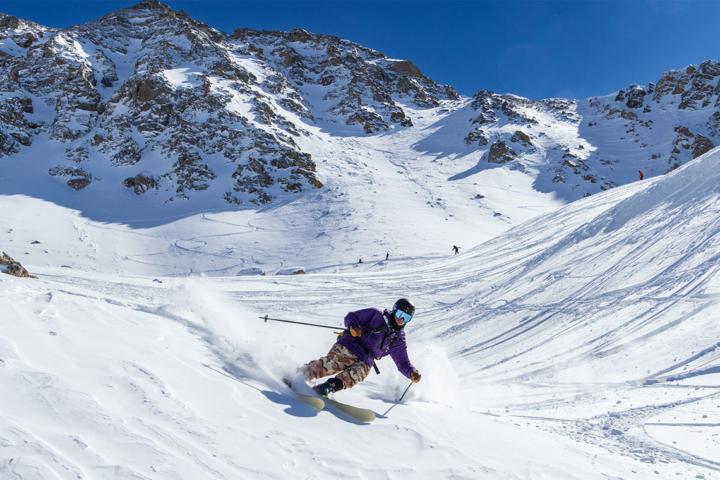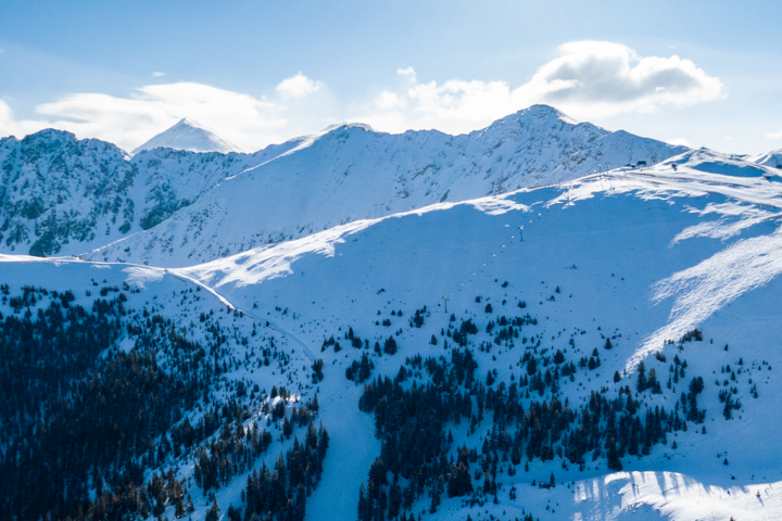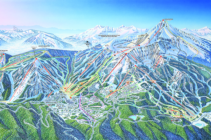
Big Sky Resort’s mountain operations staff has been hard at work in the off season, expanding the skiable terrain of the United States’ largest resort to 5,800 acres. The new terrain is predominantly gladed runs, including new trails named “Lizette,” “Pomp,” “Lois Lane,” and “Soul Hole.” With the expansion, Big Sky also released a brand new trail map, which can be found below. Click for a full size version.
 2014-15 Big Sky Resort Trail Map
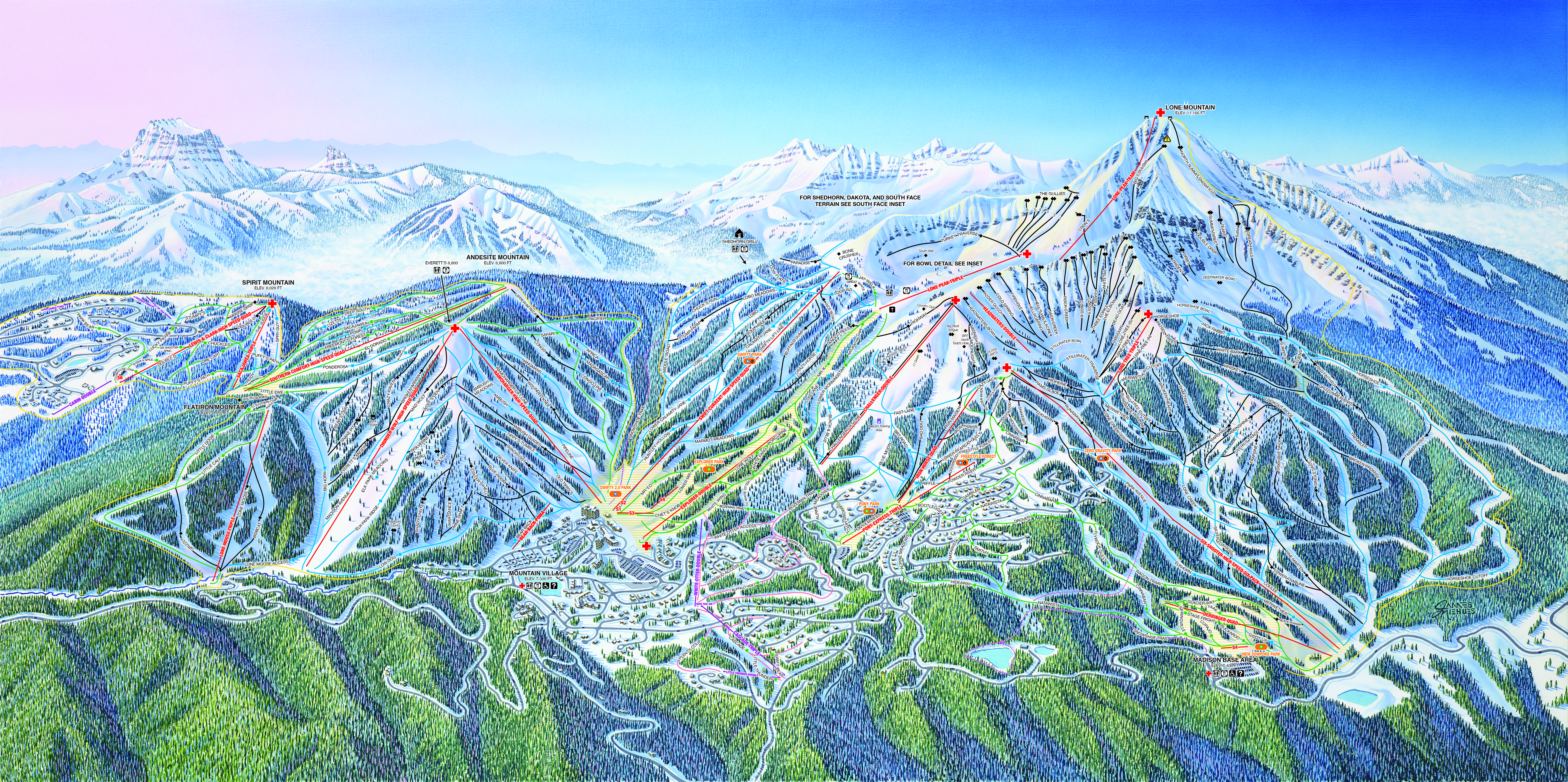
Press Release provided by Big Sky Resort:
Big Sky, Montana — Skiing through the trees was an objective of Big Sky Resorts Mountain Operations Department as they expanded the Resort’s skiable acres to 5,800. Enhancing the tree skiing experience through extensive glading will bring new runs and more fun for intermediates to experts this winter season. The expanded terrain will be included on the new trail map design revealing a different aspect of Big Sky’s terrain and the new runs.
The Southern Comfort chair lift, off of Andesite Mountain, saw the most improvement through glading with two new intermediate runs. The new “Lizette” run is located between the runs Deep South and Sacajawea and the new “Pomp” run is located between Sacajawea and El Dorado runs. Both runs are named after Sacajawea’s children. A section of the Ponderosa was also widened.
Another new intermediate gladed run can be found between the runs, Lower Morning Star and Mr. K, named “Lois Lane.” A new black diamond run named “Soul Hole” can be discovered between Lobo and Calamity Jane runs. Both of these new runs are accessed via Swift Current chair lift on Lone Mountain.
The Mountain Operations crew upgraded the tree run, Tango Trees, below the Lone Peak Triple lift through selected thinning and removal of standing dead trees in the previously gladed area. On the southern exposure of Lone Peak, the crew did careful thinning of select trees on the Dakota Gully run. It will now be regularly groomed, changing its designation to “intermediate” allowing more skiers/riders to enjoy the Dakota chair lift.
“Another goal beyond improving the tree skiing experience was to continue to promote healthy forest and improve wildlife habitat,” said Mike Unruh, Mountain Operations Director at Big Sky Resort.
In addition to the four new ski runs and expanded skiable terrain, a new trail map will be revealed this winter season rendering majority of Big Sky Resort’s terrain on a single side of the trial map with two additional insets of Lone Peak. The insets will focus on the southern face of the Shedhorn/Dakota area and the eastern face the more technical and advance runs.
“The most important element of a trail map is to show the trail system in the clearest and simplest way,” explains Jim Niehues, resort illustrator who designed the new map. “The representation of the slopes, how it skis, the feeling you get from skiing the different terrain…the essence of the Mountain.” Niehues continues, “The new trail map image breaks the mountain into three very distinct areas and the transition from one section to the other is easily followed. I am very proud of the new image.”