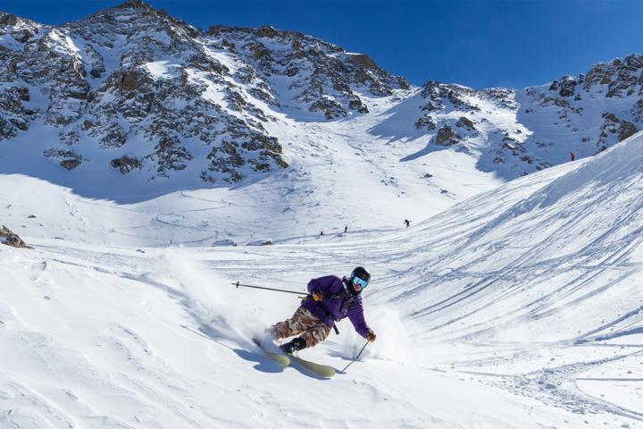
Merry Christmas Eve and Happy Holidays to all. In addition to the bounty of wrapped gifts, delicious food and family togetherness, skiers can also rejoice in the name of Yuletide powder. The western United States is in for the most accumulation, but eastern skiers have reason to be hopeful, too.
Utah
Utah skiers have been eagerly awaiting the forecasted Christmas storm for awhile now. According to OpenSnow’s Evan Thayer, a cold trough will descend into Utah on Wednesday night, with snow expected to begin on Thursday morning. By Friday afternoon, the Little Cottonwood Canyon ski areas, Alta and Snowbird, can expect 19 to 31 inches of snow. Thirteen to 24 inches of snow is also expected to fall upon Park City Mountain Resort, Deer Valley and Canyons. Merry Christmas to you, Utah.
Colorado
After a healthy heaping of new snowfall earlier this week, Wednesday will remain dry for the Centennial State, while another hefty storm will hit on Thursday. OpenSnow’s Joel Gratz believes the San Juan Mountains and ski areas east of the Continental Divide will benefit most from this squall. Southern resorts like Silverton and Wolf Creek can expect nine to 18 inches out of this storm, while farther north, totals will be more like four to 10 inches at Winter Park and Eldora. The next storm is expected to hit Sunday.
The Northern Rockies
Wyoming skiers should awake to a white Christmas on Thursday morning. Grand Targhee is projected to receive nine to 14 inches while Jackson Hole should see four to nine by Thursday evening.
That same storm will also hit Montana on Wednesday night. The big winners will look to be Big Sky with six to 14 inches, Lost Trail Powder Mountain with eight to 14 and Montana Snowbowl with 12 to 20 through Thursday night. Another storm looks to impact the area beginning Saturday night.
In Idaho, Pomerelle and Magic Mountain will benefit greatly from the storm, with forecasts projecting 10 to 17 inches for both.
The Sierra Nevada
Big snow totals are heading to Lake Tahoe in time for Christmas, as a cold front hits the region on Wednesday. The storm is expected to bring 10 to 15 inches to Alpine Meadows, Squaw Valley, Kirkwood, Sugar Bowl and Sierra-at-Tahoe.
Pacific Northwest
The PNW is getting back on track, and another storm moving on Tuesday night should help out even more. Snow levels will be at around 2,500 feet, according to OpenSnow’s Larry Schick.
In Washington, three to nine inches could fall at Mt. Baker, nine to 15 at Bluewood and three to six at Mt. Spokane by Wednesday night.
In Oregon, six to 12 inches are expected at Mt. Bachelor and five to 11 are forecasted for Mt. Hood Meadows on Wednesday.
The Northeast
Eastern skiers won’t have as much of the white stuff flying as their western counterparts, but there are chances for small accumulations Tuesday night into Wednesday.