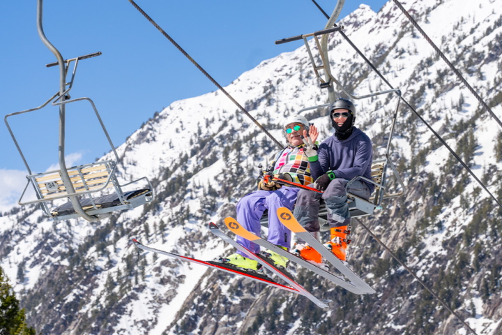
We’ve hit the gut of early winter 2014-15, and with that comes the first FREESKIER pow alert of the season. This week, Tahoe will receive a big relief from its drought, as a big storm moves in off the Pacific. The Rocky Mountain region is in for a nice refresh as well, with chances for snowfall through the end of the week. Take a look at where the snow is falling this week, below.
The Sierra Nevada
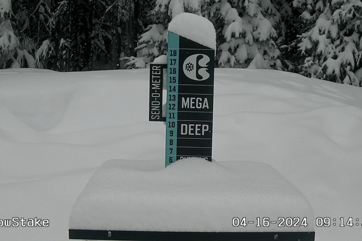
OpenSnow’s Bryan Allegretto projects a foot or more in the coming days above 7,000 feet in the Tahoe area, and maybe even two-plus feet along the Pacific Crest. As of late Tuesday night, Northstar’s snow stake cam showed upwards of ten inches on the ground at 8,283 feet in elevation. The white stuff is forecasted to continue to fly Wednesday with five to 10 inches of snow expected. When the snow stops falling, areas like Kirkwood, Sierra-at-Tahoe, Alpine Meadows, Squaw Valley and Sugar Bowl could see anywhere from 9 to 15 inches of accumulation.

Utah
Most Utah ski areas should see some precipitation in the next few days. Snow began late Tuesday night, and totals should be highest in southern Utah, with one to three inches expected at Eagle Point and Brian Head Resort. Snow will continue for the state through Thursday, with a possible one to six inches forecasted for Alta, Snowbird, Solitude, Canyons and Brighton.
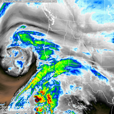
Colorado
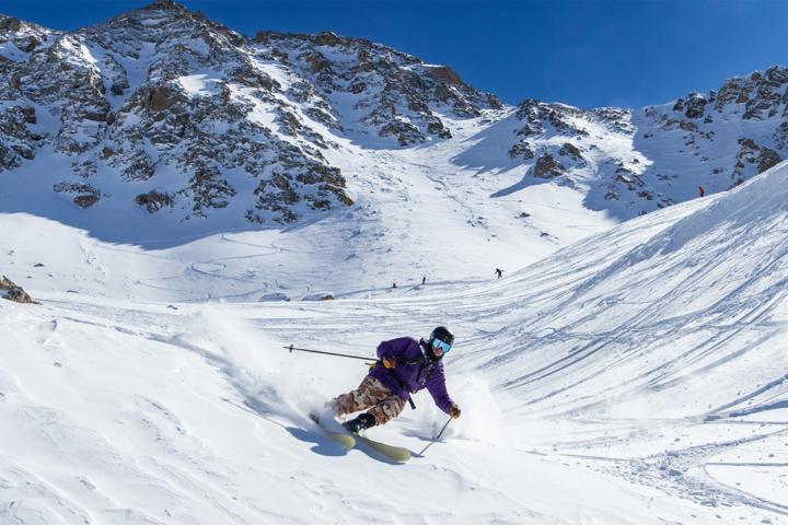
According to OpenSnow’s Joel Gratz, Colorado will continue its hot start to the winter, as on and off snow will fall from Tuesday night through Friday morning. Snow will be denser at 7,000 feet and below, and drier above 9,000 feet. The south is expected to see a bit more snow than the northern and central mountains, with areas like Silverton, Wolf Creek and Telluride receiving five to 10 inches, and the rest of Colorado likely getting three to five. A bigger storm is set to hit the San Juans Saturday night, with a best case scenario of around six inches of freshies.
The Northern Rockies
In Wyoming, areas like Grand Targhee and Jackson Hole are on tap for five to 12 inches of cold smoke through Friday morning.
Montana will get in on the pow frenzy beginning on Thursday, with Montana Snowbowl expected to receive a solid three to seven throughout the day.
Idaho skiers will be happy after this week’s storm, as five to 10 inches of snow is forecasted in places like Bogus Basin and Brundage; Sun Valley should see two to five inches, as well.
The Northeast
Tuesday night through Wednesday should prove wealthy for much of the Northeast. According to OpenSnow’s Tim Frost, most of the snow will fall Tuesday night, as warm temperatures will likely turn precipitation to rain or sleet. Killington, Okemo, Sugarbush and Middlebury Snowbowl are all forecasted to receive three to six inches by the end of the day on Wednesday. Precipitation should return again on Saturday, hopefully in the form of the white stuff.
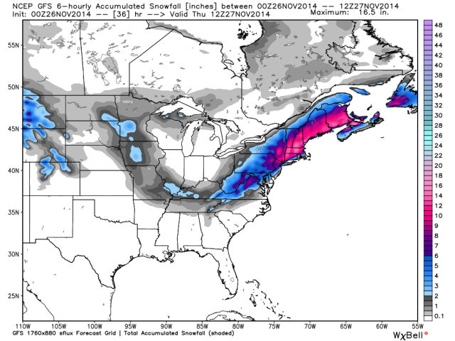
Resorts in New Hampshire and Maine should see the most significant snowfall in New England during this storm, according to Brian Clark. Saddleback and Sunday River are expecting three to seven inches of snow in Maine and three to seven inches is also set to fall at Black Mountain in New Hampshire.
Pacific Northwest
The Northwest has a good shot at some snowfall this week. Anywhere from three to eleven inches of snow is forecasted through Thursday for Mount Bachelor in Oregon. Farther north, three to eight inches is the plan for Stevens Pass, Washington.
Be sure to check back next week to see where the snow is set to fly. And, as always, be sure to make it count out there.