Colorado Powder Forecast for week of Dec. 30
- HIGHLIGHTS
- San Juan snows continue Thursday
- Heavy snow for other mtns by PM Thursday
- COLD with snow continuing on Friday

After mid-December's warm storm, we're in for the complete opposite now through the first day of 2011.
A very cold storm that is already dumping snow on the southern San Juans (about 18-24" in the last 24 hours at Silverton, Wolf Creek, and Durango) will move across all of Colorado on Thursday, leading to heavier snow by nightfall for the central mountains, the resorts along I-70, and up through the Steamboat area.
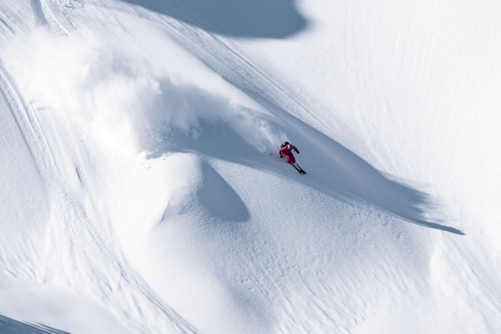
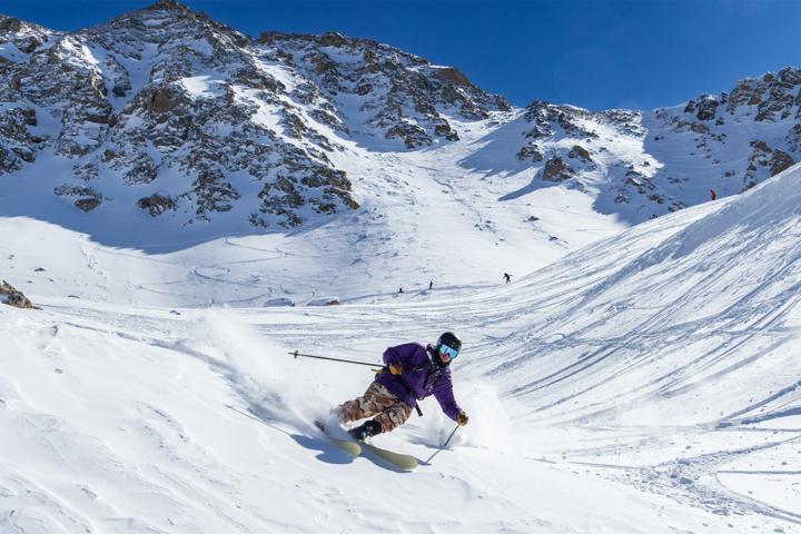
With temperatures at mountain top not getting above 0F on Friday, toes might be falling off but snow will also continue to fall. Because of the very cold temperatures, the snow will be VERY light and fluffy, and it won't take many fluffy flakes to accumulate into some blower pow.
The next storm could move in around Tuesday of next week, but that's a long way out. Until then, enjoy the last powder day of 2010!
Find detailed snow forecasts for each ski area at ColoradoPowderForecast.com.
-JOEL GRATZ

